Meta Description: From firefighting to farming, discover how drone thermal cameras are revolutionizing industries. Learn top applications, buying tips, and future trends.
Introduction: The Power of Thermal Drones
In 2023, a thermal drone operated by Texas firefighters detected a trapped hiker in complete darkness by identifying a body heat signature 200 meters away—all within 10 minutes of deployment. This is just one example of how drone thermal imaging is transforming crisis response, agriculture, and industrial operations.
According to MarketsandMarkets, the global thermal drone market will reach $1.8 billion by 2027, driven by falling hardware costs and AI-powered analytics. Whether you’re an engineer inspecting solar farms or a farmer monitoring crop health, this guide breaks down everything you need to harness thermal drone technology.
7 Industries Revolutionized by Drone Thermal Cameras
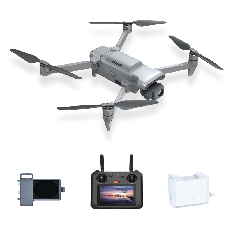
1. Firefighting & Search and Rescue (SAR)
Key Stat: Thermal drones reduce search times by 65% in wilderness rescues (DJI Public Safety Report).
How It Works:
FLIR thermal sensors detect heat signatures through smoke, fog, or foliage.
Real-time video feeds guide ground teams via apps like Drone Deploy.
Case Study: The UK Mountain Rescue team uses MMC X8 Thermal to locate missing persons 3x faster than traditional methods.
2. Precision Agriculture
Problem Solved: Identify irrigation leaks or pest infestations invisible to the naked eye.
Workflow:
Fly a grid pattern at dawn (optimal temperature contrast).
Use software to generate crop health maps.
Pinpoint areas with >2°C temperature anomalies for targeted treatment.
Result: California vineyards report 20% higher yields after adopting thermal scouting drones.
3. Building Inspections & Energy Audits
Cost Comparison:
Method | Time | Cost |
Manual Inspection | 8 hrs | $600 |
Drone Thermal Scan | 30 min | $200 |
Critical Use: Detect moisture intrusion in roofs or faulty insulation with ±0.1°C accuracy.
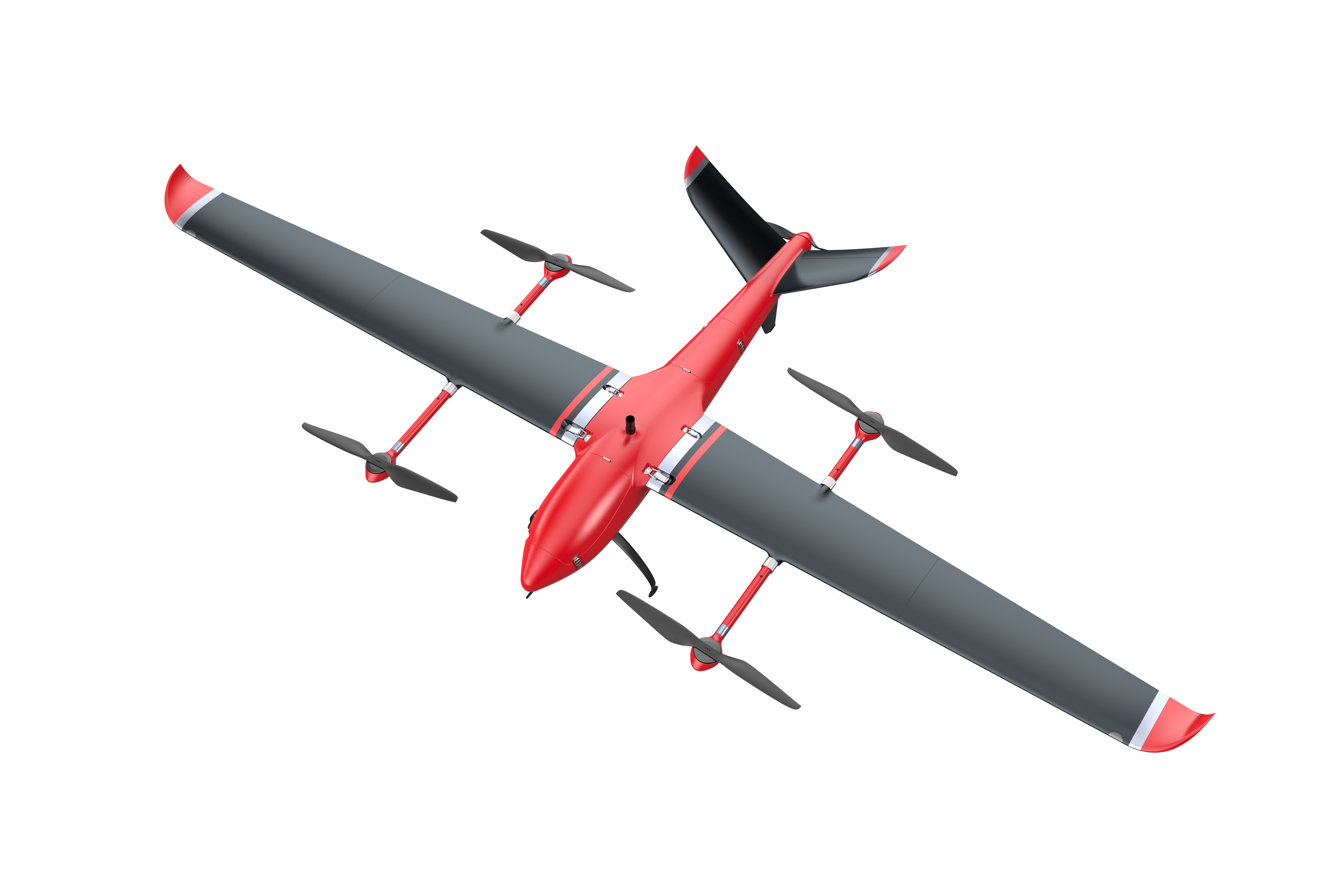
4. Power Line Maintenance
Prevent Disasters: Spot overheating transformers or loose connections before failures occur.
Regulation Compliance: FAA-compliant drones like the MMC X8T can inspect 20KM of lines in a single flight.
5. Solar Farm Monitoring
Efficiency Boost: Thermal imaging identifies underperforming panels (“hot spots”) causing energy loss.
Data Insight: Integrate with platforms like Raptor Maps to prioritize repairs and boost ROI by 12-15%.
6. Wildlife Conservation
Ethical Tracking: Monitor endangered species (e.g., rhinos) via heat signatures without human intrusion.
Night Patrols: Anti-poaching units in Kenya deploy thermal drones to cover 5x more area than foot patrols.
7. Archaeology & Cultural Preservation
Discovery Tool: Subsurface structures (e.g., ancient walls) create temperature variations detectable by drones.
Example: A 2022 survey in Peru uncovered buried Inca ruins using a X8 thermal camera.

The Future of Drone Thermal Technology
AI Integration: Companies like Iris Automation are developing AI that auto-flags anomalies (e.g., overheated machinery) in real time.
Miniaturization: New micro bolometer tech allows thermal sensors under 100g, enabling use on sub-250g drones.
5G & Cloud: Live 4K thermal streaming via 5G networks will enable remote expert collaboration.
Why Thermal Drones Are Worth the Investment
From saving lives to cutting operational costs, drone thermal imaging is no longer a niche tool—it’s a necessity. As sensors become 30% cheaper annually , businesses adopting this tech now will gain a decisive competitive edge.
Ready to Explore Further?


0 comments