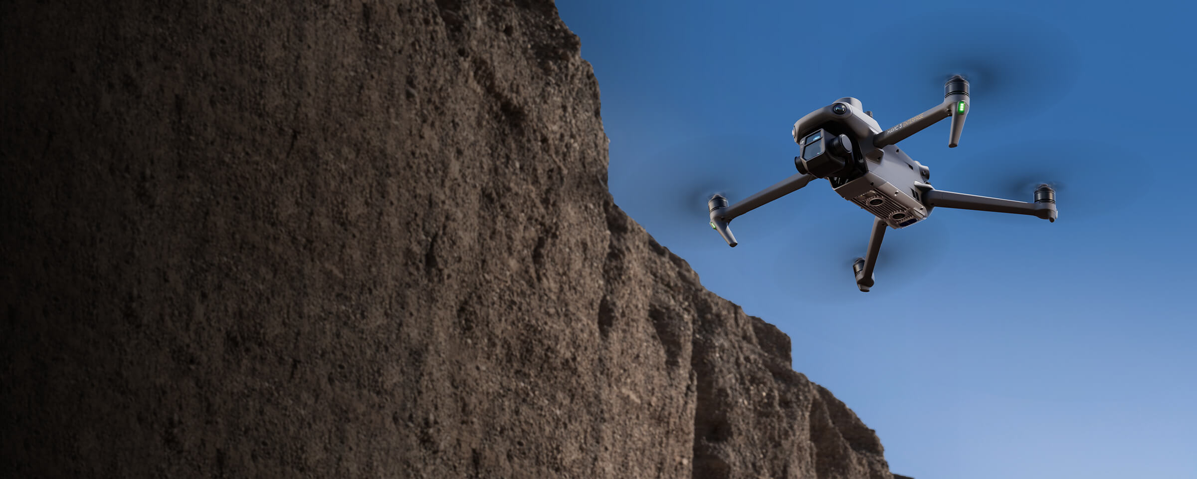
Facade High Wall
MMC Drones transform facade high wall modeling in mining with safe, accurate 3D solutions. Advanced UAVs with cameras or LiDAR capture high-resolution data, creating precise 2D maps and 3D models. These geotagged models reduce risky manual surveys and enhance decision-making. Integrated with Pix4D, data is processed in-flight, boosting efficiency and supporting inspections and maintenance, making MMC Drones a reliable mining solution.
Painpoints
- – Traditional high wall surveying methods often exposes personnel to potential risks.
- – Time-consuming and inefficient, especially across large mining sites.
- – Lack of high-precision and high-resolution data of the high walls.
Advantages
- Reduce risk with safer data collection methods without compromising quality.
- Optimize field work and enhance operations with efficient aerial survey solutions.
- Produce geotagged high quality models for improved decision making.
Solution
Portable Drone Stockpike Measurement Solution
- The MMC X8T’s compact size and user-friendly design facilitate rapid setup, mission planning, and pack-up, making it highly suitable for last-minute or urgent survey requirements in a busy operational environment.
- Reliability and high accuracy even when flying at high altitudes.
- The Real-Time Terrain Follow mode allows the MMC X8T to adjust its altitude in real time, ensuring a consistent height relative to the terrain being mapped.
Drone Platform
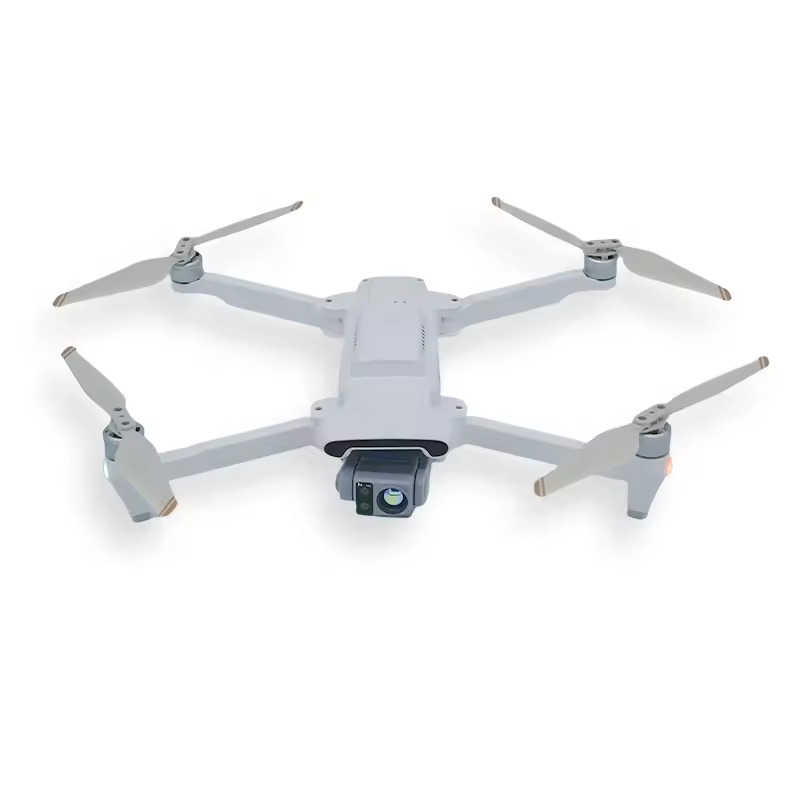
MMC X8T
The MMC X8T thermal imaging drone redefines aerial intelligence with its triple-camera system (4800MP visible light + 30x zoom + 640×480 IR), delivering unmatched situational awareness day or night. Read More
Learn MorePayload And Software
Workflow
Contact Us
For more information about product demo or trial, leave your contact information in the form below. You can also reach out to your local dealer for more information.