Mining Survey
MMC mining survey revolutionize data collection with drone-powered precision. Our technology delivers safer, faster stockpile measurements and pit modeling, achieving centimeter accuracy in hours instead of days. By replacing risky ground surveys, we reduce costs by 50% while improving data quality.
Painpoints
- – Mining survey environments are often remote and fraught with safety risks that threaten personnel safety.
- – Traditional ground-based survey methods are costly, timely, and inefficient.
- – Ensuring data quality through traditional methods can be challenging.
Advantages
- Swiftly cover vast and hazardous areas, significantly streamlining data collection process and enhancing personnel safety.
- Reduce cost and improve efficiency with easy-to-deploy aerial data collection solutions.
- Repeat data collection missions ensuring the data quality and accuracy.
Solution
Portable Stockpike Measurement
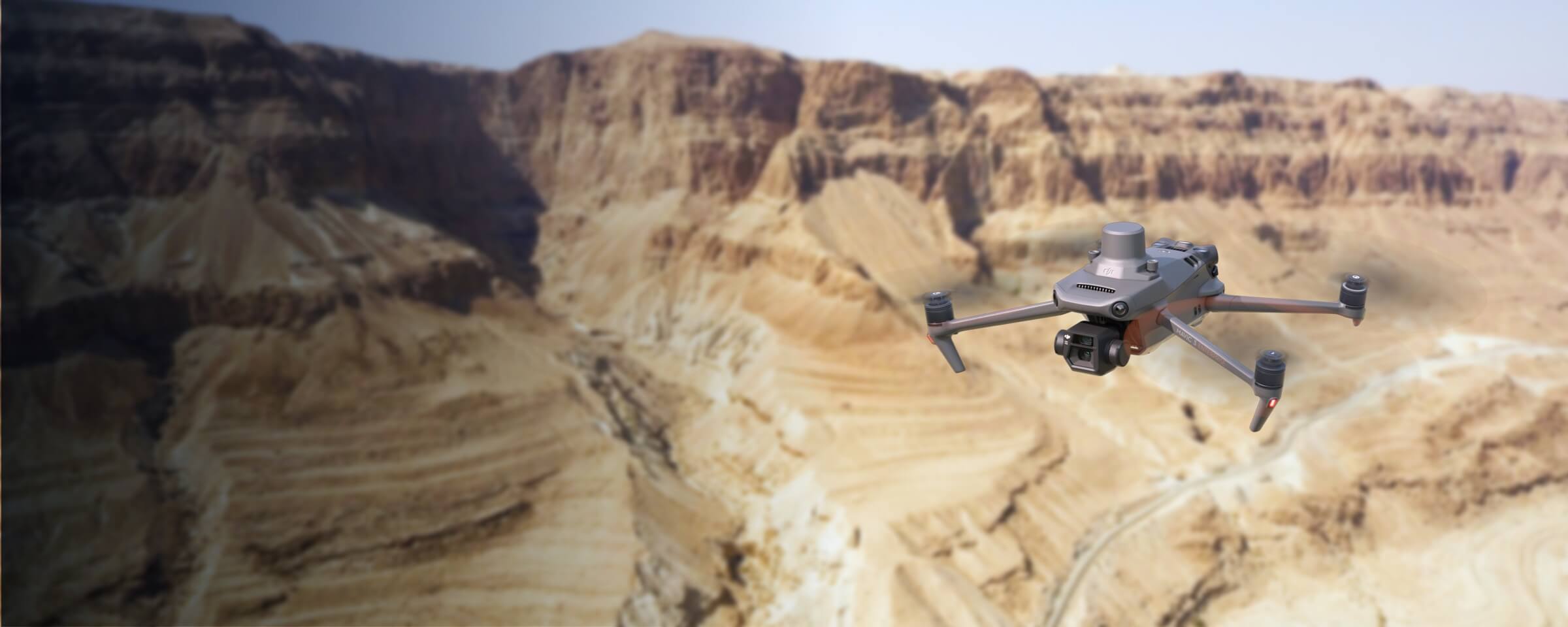
Notuzi Ⅲ + MMC X2C: Ultra-portable mining survey solution with centimeter accuracy, real-time terrain following for multi-site stockpile measurement.
- Ultra-portable: Foldable design, quick assembly—easily transport across mine sites, launch in minutes.
- High-altitude reliability: Withstands 12m/s winds, stable at high elevations, centimeter-precise data.
- Real-Time Terrain Following: Adjusts altitude dynamically, ensures consistent mapping over rugged terrain.
- One-tap operation: Intuitive app, instant 3D models/reports—minimize training, maximize productivity.
Drone Platform
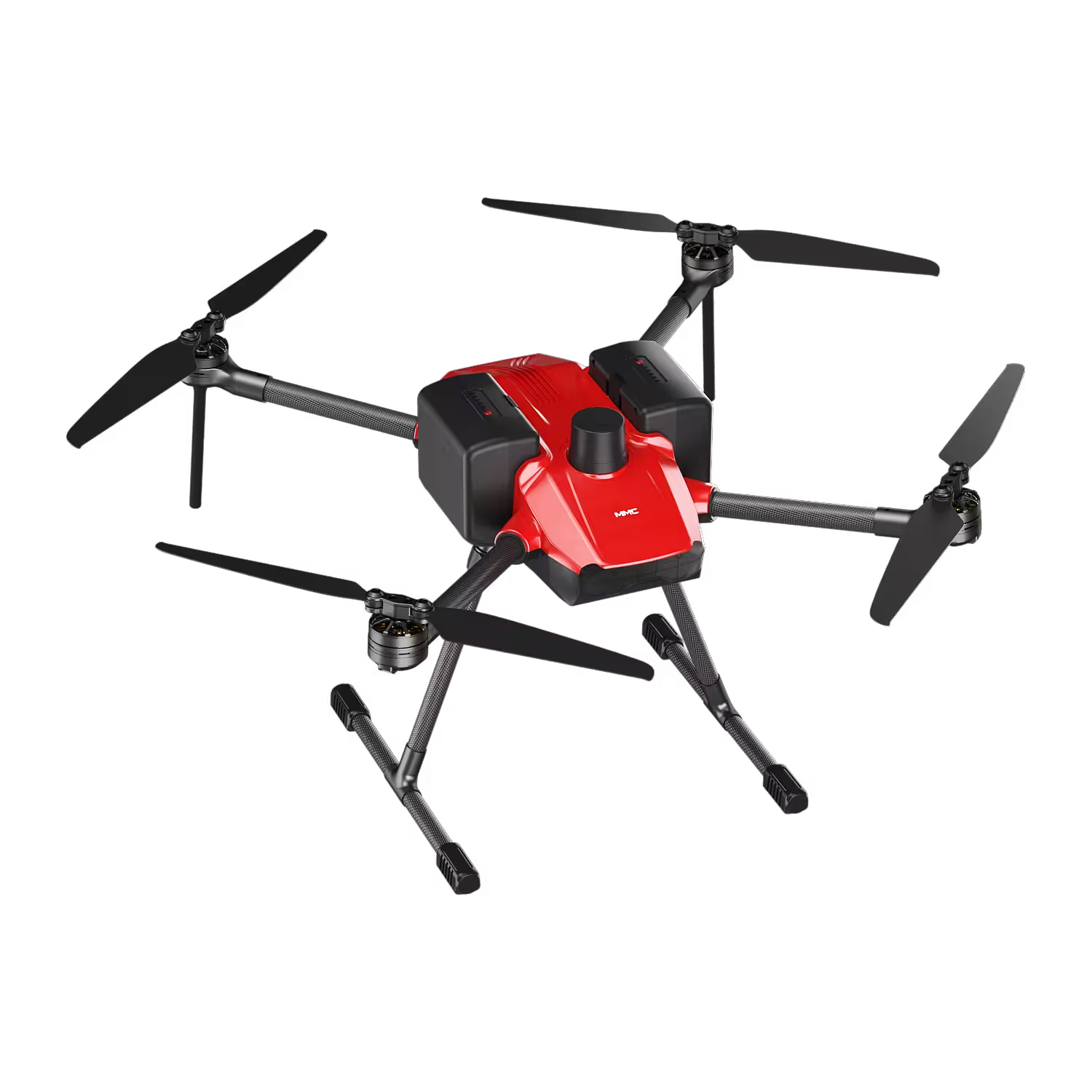
Notuzi S
Professional-grade UAV designed for versatile industrial applications, catering to sectors such as power inspection, public security, energy, and firefighting. Read More
Learn MorePayload And Software
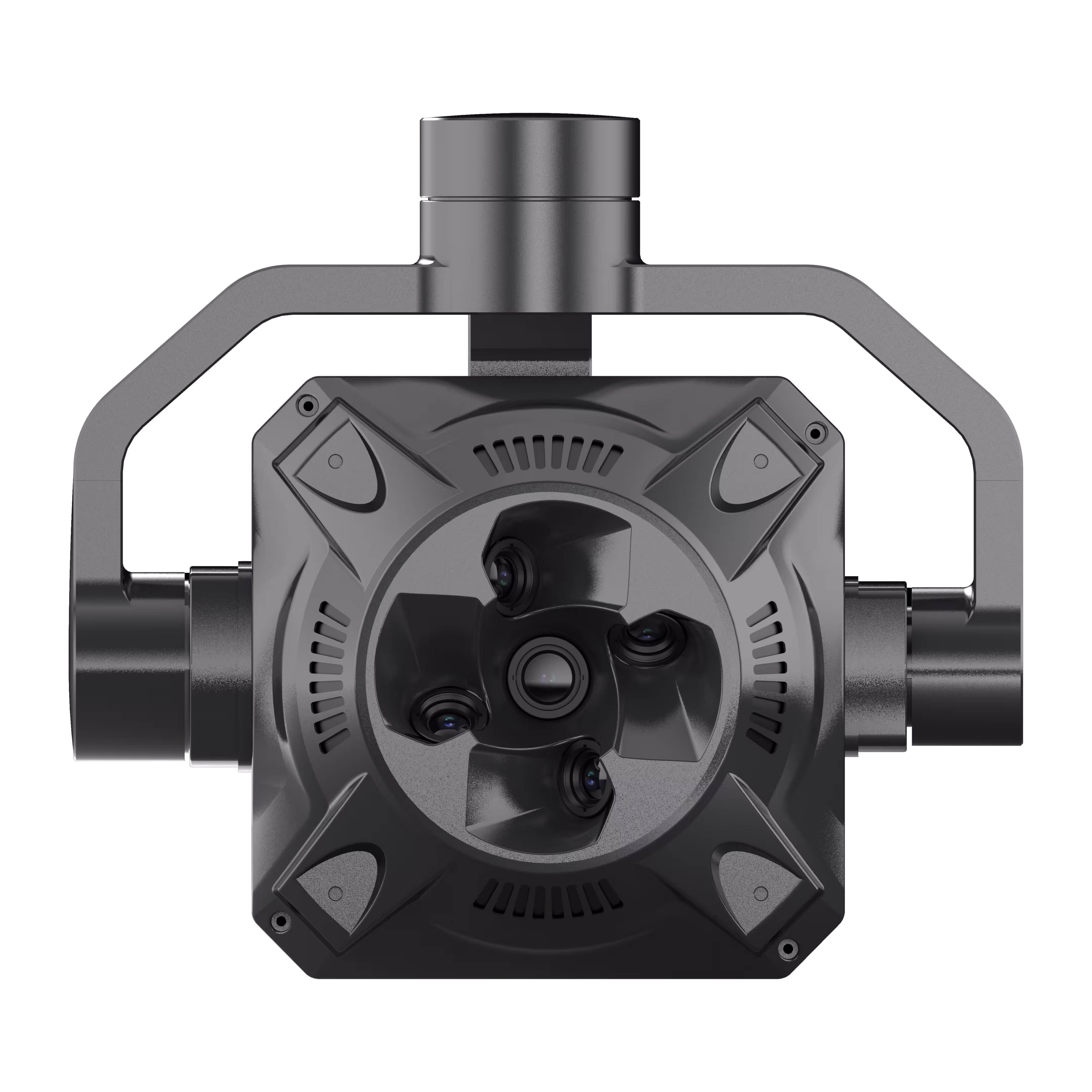
X2C
A professional aerial survey camera designed for 3D modeling, capturing multi-angle spatial images to deliver realistic terrain/texture details for topographic, real estate, and architectural mapping. Read More
Learn MoreNotuzi Ⅲ + MMC X2C: Ultra-Portable Mining Stockpile Measurement—Survey Faster, Measure Precisely Across Mine Sites
In mining, stockpile measurement demands agility: tracking ore volumes, validating yields, and complying with regulations requires tools that keep pace with remote sites, rugged terrain, and tight schedules. Traditional surveys—bulky, slow, and error-prone—drag down operations. Introducing the Notuzi Ⅲ Portable Mining Survey Solution, paired with the MMC X2C 5-Lens Tilt Photogrammetry Camera. Built for miners, this lightweight system blends unmatched portability, high-altitude reliability, and real-time terrain adaptability—empowering teams to survey stockpiles with centimeter precision, anywhere the mine takes you.
Why Notuzi Ⅲ + MMC X2C? Engineered for Mining’s Dynamic Demands
1. Ultra-Portable & Multi-Site Ready: Move Swiftly, Survey Seamlessly
Mines span vast, uneven landscapes—Notuzi Ⅲ is built to keep up. Its foldable carbon fiber frame and modular design collapse into a compact case, fitting easily into trucks or ATVs for transport across multiple sites. The MMC X2C camera, lightweight and quick-mount via standardized rails, attaches in seconds—no tools, no technical expertise needed. Unpack, assemble, and launch in minutes: survey a mountain-top leach pad in the morning, a valley stockpile in the afternoon.
2. High-Altitude Reliability, Centimeter Accuracy: Trust Data in Extreme Conditions
Mining sites don’t shy from high elevations or harsh weather. Notuzi Ⅲ’s industrial-grade build and Level 6 wind resistance (≥12m/s winds) deliver stable flight even at high altitudes, while its 12S high-voltage smart battery ensures extended endurance for large stockpiles. Paired with MMC X2C’s RTK positioning and mechanical shutter, the system captures 2.25-billion-pixel imagery with centimeter-level geotagging—critical for precise volume calculations and yield tracking.
3. Real-Time Terrain Following: Map Rugged Terrain with Consistency
Mining landscapes are rarely flat—Notuzi Ⅲ adapts instantly. Its Real-Time Terrain Following mode uses onboard sensors to adjust altitude dynamically, maintaining a steady height above uneven stockpiles, rocky outcrops, or tailings dams. This ensures uniform image overlap, while MMC X2C’s 5-lens array (1 vertical + 4 oblique) stitches data into dense 3D point clouds and DSMs—revealing volume discrepancies or slope instability early.
4. One-Tap Operation, Instant Insights: Minimize Training, Maximize Output
Mining teams need tools that work for them. Notuzi Ⅲ’s intuitive ground station app lets operators plan flights, adjust terrain parameters, and trigger surveys with a single tap—no prior drone experience required. MMC X2C auto-processes data onboard, generating 3D models and volume reports in minutes, synced instantly to your mining management software. Spend less time training, more time acting on insights.
Survey Without Limits: Transform Mining Efficiency Today
Notuzi Ⅲ + MMC X2C isn’t just a drone solution—it’s a mining workflow revolution. With portability to hop between sites, precision to trust every measurement, and terrain adaptability to conquer rugged landscapes, you’ll:
✅ Cut survey time by 70% vs. manual methods.
✅ Reduce rework with centimeter-accurate stockpile data.
✅ Adapt to high altitudes, strong winds, and uneven terrain effortlessly.
Ready to Elevate Your Mining Surveys?
Notuzi Ⅲ + MMC X2C delivers the portability, accuracy, and reliability mining demands. Contact us to schedule a demo and turn stockpile measurement from a chore into a strategic advantage.
Notuzi Ⅲ Drone | MMC X2C Camera | Built for Mining. Built for Precision.
Full-Frame High Performance Surveying & Mapping
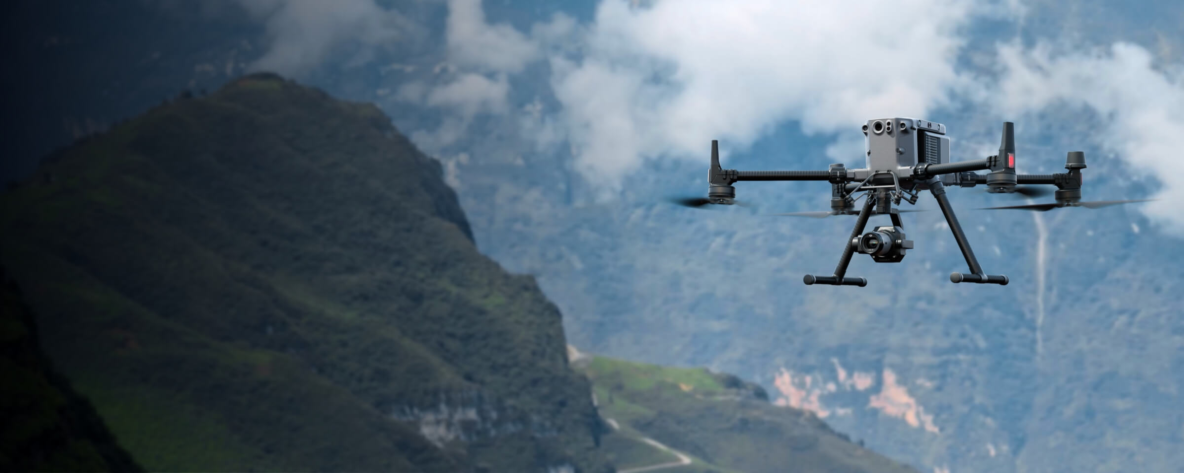
Skylle Ⅱ + MMC X4 Pro: Full-frame mining survey solution with reliable platform, 45MP sensor, 3 km²/flight, centimeter precision.
- Reliable multi-purpose platform: Withstands harsh environments, dual batteries, modular avionics for 5G/RTK.
- 44MP full-frame sensor: Captures high-quality data via mechanical shutters for precise 3D modeling.
- Field efficiency: Covers 3 km²/flight at 5cm GSD; rapid imaging accelerates workflows.
- Centimeter-level deliverables: RTK positioning, minimal GCPs, generates accurate 3D models.
Drone Platform
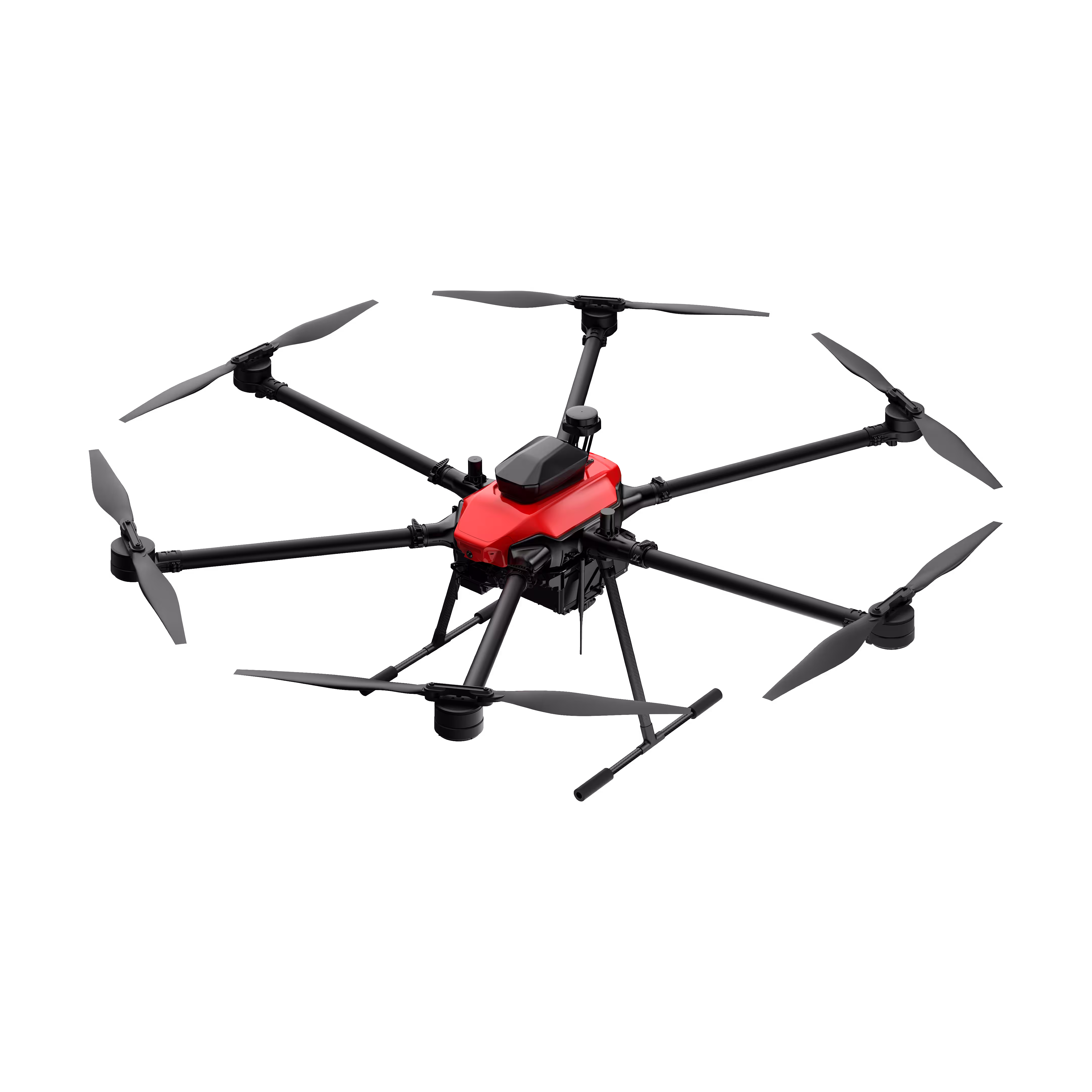
Skylle Ⅱ
Hexacopter Industrial Heavy-Lift Drone - 10kg Payload | 60min Flight Time | RTK cm-Level Positioning | IP54 Rated Read More
Learn MorePayload And Software
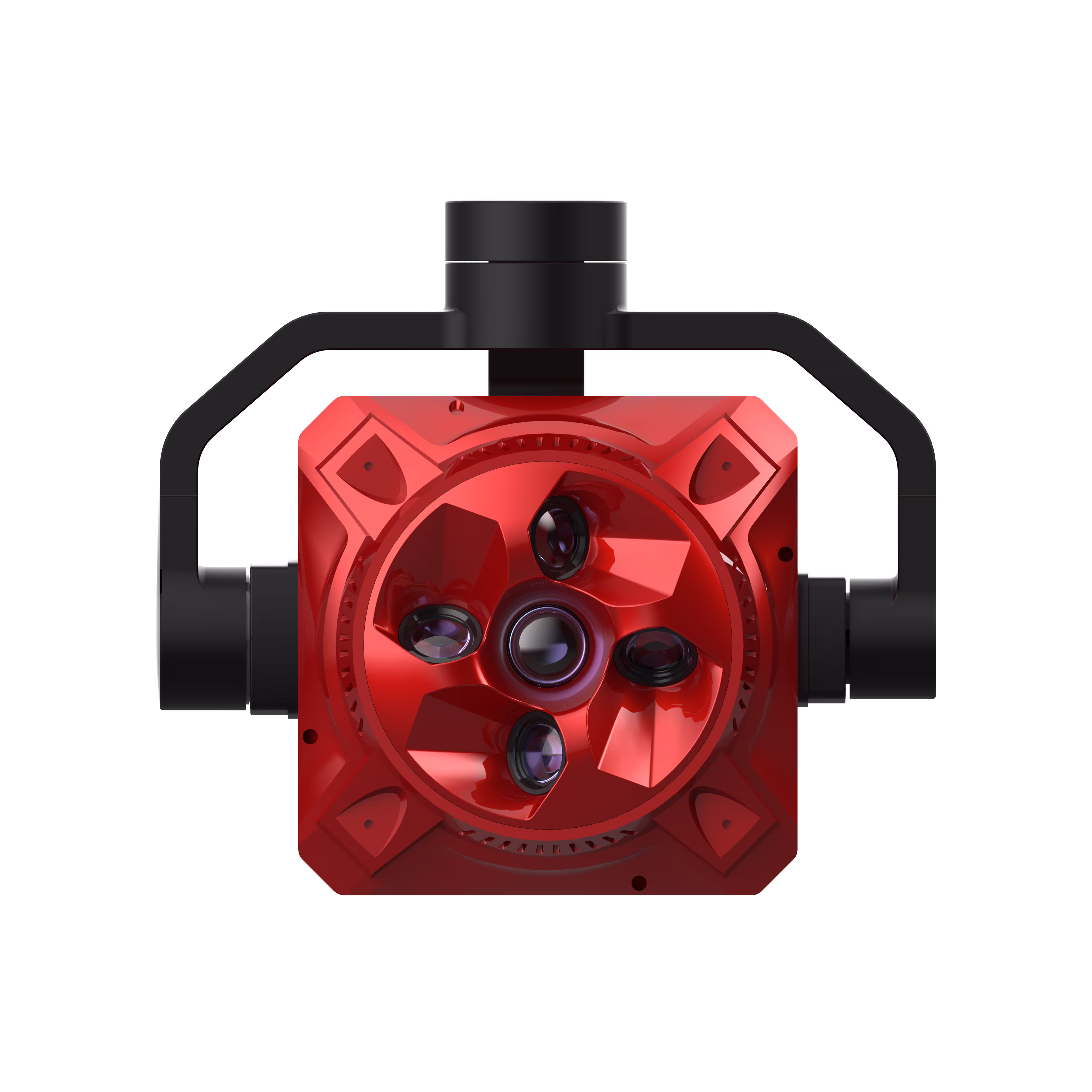
X4 Pro
MMC X4 Pro is a high-performance, multi-purpose aerial survey camera designed for 3D modeling and precision mapping. As a professional five-lens oblique photography system, it breaks through the limitations of traditional single-angle mapping cameras, providing an integrated, high-precision, and efficient aerial survey solution for various mapping scenarios. Read More
Learn MoreSkylle Ⅱ + MMC X4 Pro: Full-Frame Mining Survey Solution—Precision, Efficiency, Reliability
In mining, mining survey demands uncompromising accuracy and speed: tracking stockpiles, validating reserves, and optimizing operations requires data you can trust for mining survey success, even in harsh, remote mining survey environments. Enter the Skylle Ⅱ Full-Frame Mining Survey Solution, paired with the MMC X4 Pro 5-Lens Tilt Photogrammetry Camera. Engineered for toughest challenges, this platform delivers reliable performance, 45MP full-frame imaging, and centimeter-level precision—transforming how you conduct mining survey, measure, and maximize productivity.
Why Skylle Ⅱ + MMC X4 Pro?
1. Reliable Multi-Purpose Drone Platform: Conquer Harsh Environments
Skylle Ⅱ redefines durability with its aerospace carbon fiber monocoque frame, designed to withstand extreme temperatures (-20°C ~ 65°C), high winds (12m/s), and rugged mining survey terrain. Dual redundant smart batteries ensure uninterrupted mining survey flights, while modular avionics supports 5G, RTK, and dual-link transmission—making it the ultimate all-in-one platform for dynamic needs.
2. 45MP Full-Frame Sensor: Ultra-High Quality Data, Down to the Details
The MMC X4 Pro’s 45MP+ per-lens full-frame sensor (≤36mm×24mm) captures 2.2-billion-pixel imagery, revealing critical stockpile textures and dimensions for precision. Mechanical shutters eliminate motion blur, ensuring sharp data for precise volume calculations and 3D modeling—no more guesswork, just actionable insights.
3. Field-Work Efficiency: 3 km² per Flight, 5cm GSD
Maximize productivity with Skylle Ⅱ’s extended flight time and MMC X4 Pro’s rapid imaging. Cover 3 km² per flight at a 5cm ground sampling distance (GSD), thanks to the MMC X4 Pro’s ≤0.9s capture interval and high-capacity storage—to accelerate mining survey workflows across large mining sites.
4. Centimeter-Level Deliverables: Minimize Ground Control Points
Achieve survey-grade accuracy with MMC X4 Pro’s real-time RTK positioning and five independent POS data streams, generating centimeter-level mining survey 3D models with minimal GCPs. Reduce mining survey fieldwork complexity and costs, while ensuring compliance-ready mining survey results you can stake operations on.
Elevate Your Mining Surveys Today—the Backbone of Informed Decisions
Skylle Ⅱ + MMC X4 Pro isn’t just a tool—it’s a mining survey advantage. With a reliable mining survey platform, full-frame imaging, and unmatched efficiency, you’ll:
✅ Slash mining survey time with high-throughput data capture.
✅ Trust centimeter-precise mining survey stockpile measurements.
✅ Conquer harsh mining survey environments with rugged, all-weather performance.
Ready to Transform Mining Survey Standards?
Skylle Ⅱ + MMC X4 Pro sets the standard for full-frame mining survey solutions. Contact us to demo how it turns mining survey data into decisions—faster, smarter, and more reliably than ever in mining survey.
Skylle Ⅱ Drone | MMC X4 Pro Camera | Full-Frame Precision for Mining Survey’s Future.