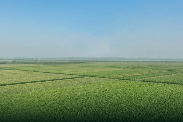
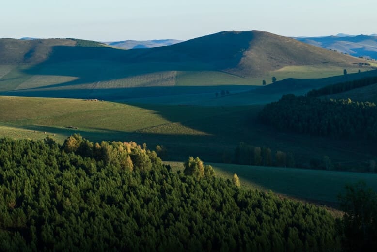
Precision Agriculture & Forestry
MMC precision agriculture & forestry solutions revolutionize land management through advanced aerial intelligence. Our drones capture high-resolution multispectral and LiDAR data for comprehensive crop health analysis and precise forest inventories. The system identifies tree species, measures biomass, and detects plant stress with 95% accuracy, while reducing survey time by 80% versus traditional methods. Farmers gain actionable insights for irrigation and treatment, while foresters obtain accurate timber volume calculations. Compatible with major GIS platforms for seamless data integration.
MMC Drone Solutions for Precision Agriculture & Forestry
Precision Agriculture
MMC precision agriculture solutions transform farm management through intelligent aerial monitoring. Our drone systems enable rapid field scanning with multispectral sensors to assess crop health, soil conditions, and irrigation needs.
Forestry
MMC forestry solution revolutionizes forest inventory and management by offering efficient, accurate, and digitized data collection over large areas. Equipped with high-resolution imaging and mapping capabilities, drones streamline forest surveys, enabling precise tracking of tree count, health, and density.
Traditional Challenges for Precision Agriculture
- It's difficult to accurately locate the crop areas that need attention without geotaged data.
- Manual samplings are lengthy and labor consuming, thus reducing the possible sampling frequency.
- Traditional crop evaluation methods rely on observation with limited data analysis.
- Limited visibility of the crop field overall health.
How Drones Aid Precision Agriculture
- Evaluate health and prevent diseases of each invidual crop with georeference data collection.
- Increase data sampling frequency with fast aerial data collection.
- Access a variety of data including RGB images, multispectral, thermal, and LiDAR data.
- Cover larger areas in a single flight.
Related Products
Drones
Notuzi S
Professional-grade UAV designed for versatile industrial applications, catering to sectors such as power inspection, public security, energy, and firefighting. Read More
Learn More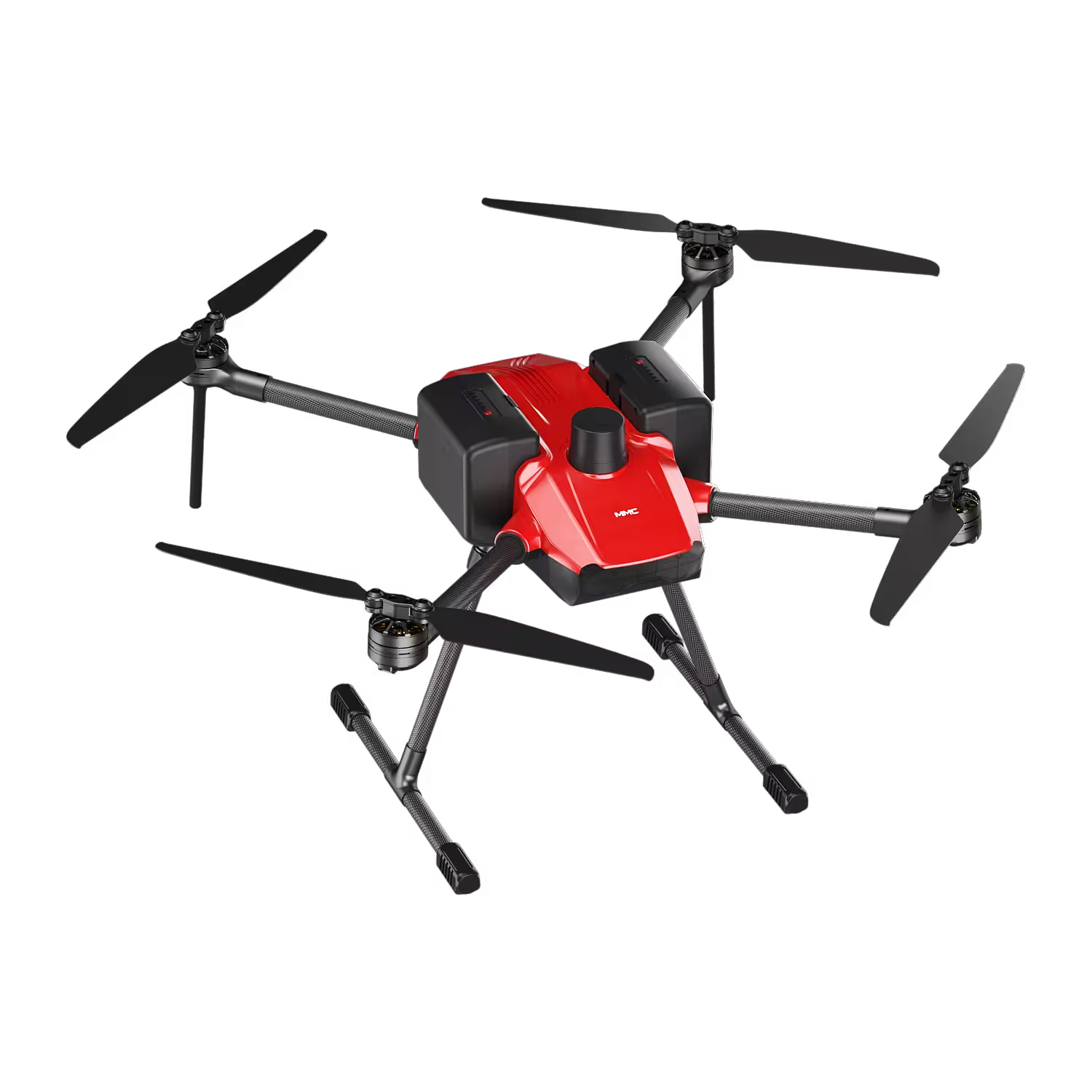
Drones
Skylle Ⅱ
Hexacopter Industrial Heavy-Lift Drone - 10kg Payload | 60min Flight Time | RTK cm-Level Positioning | IP54 Rated Read More
Learn More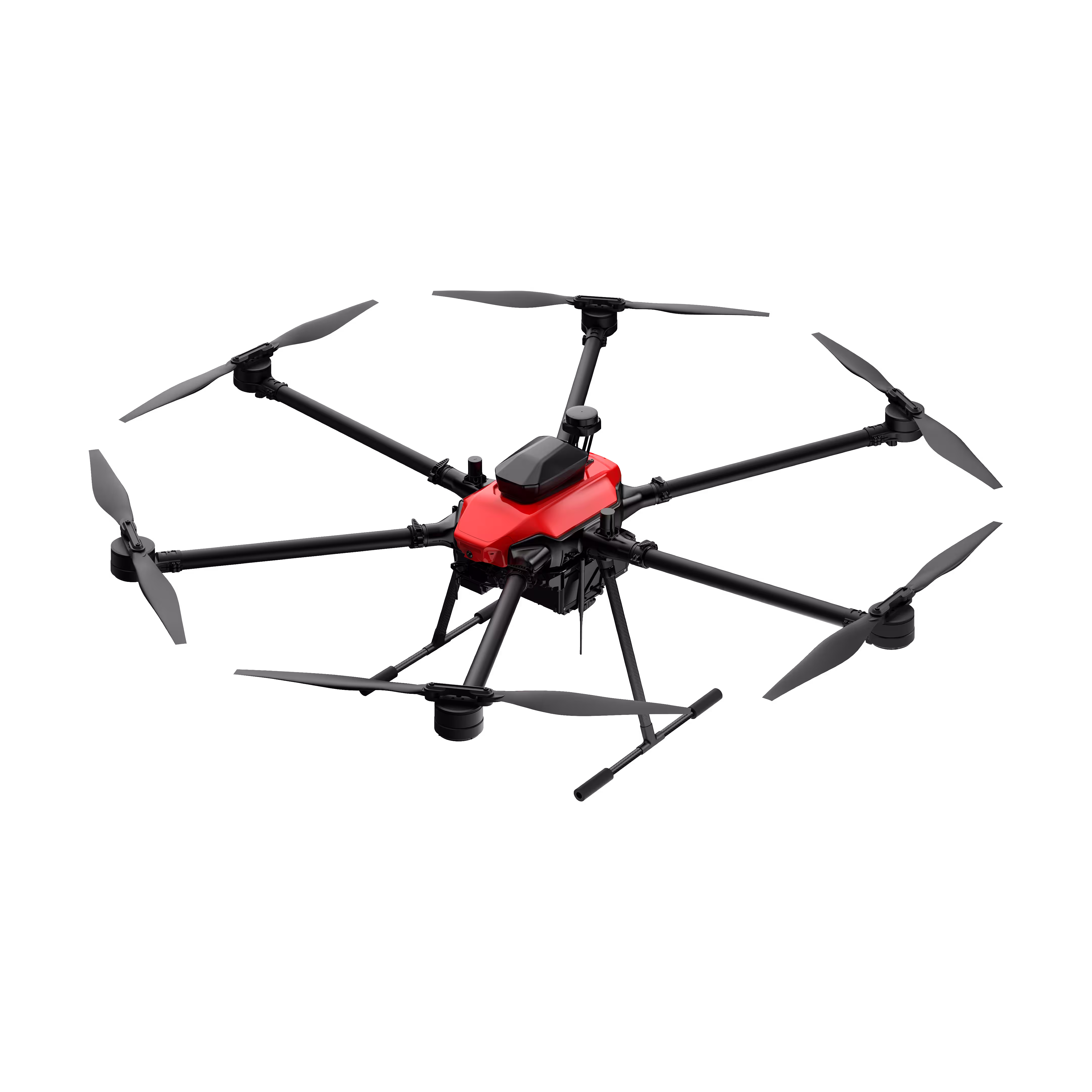
Payloads
X2C
A professional aerial survey camera designed for 3D modeling, capturing multi-angle spatial images to deliver realistic terrain/texture details for topographic, real estate, and architectural mapping. Read More
Learn More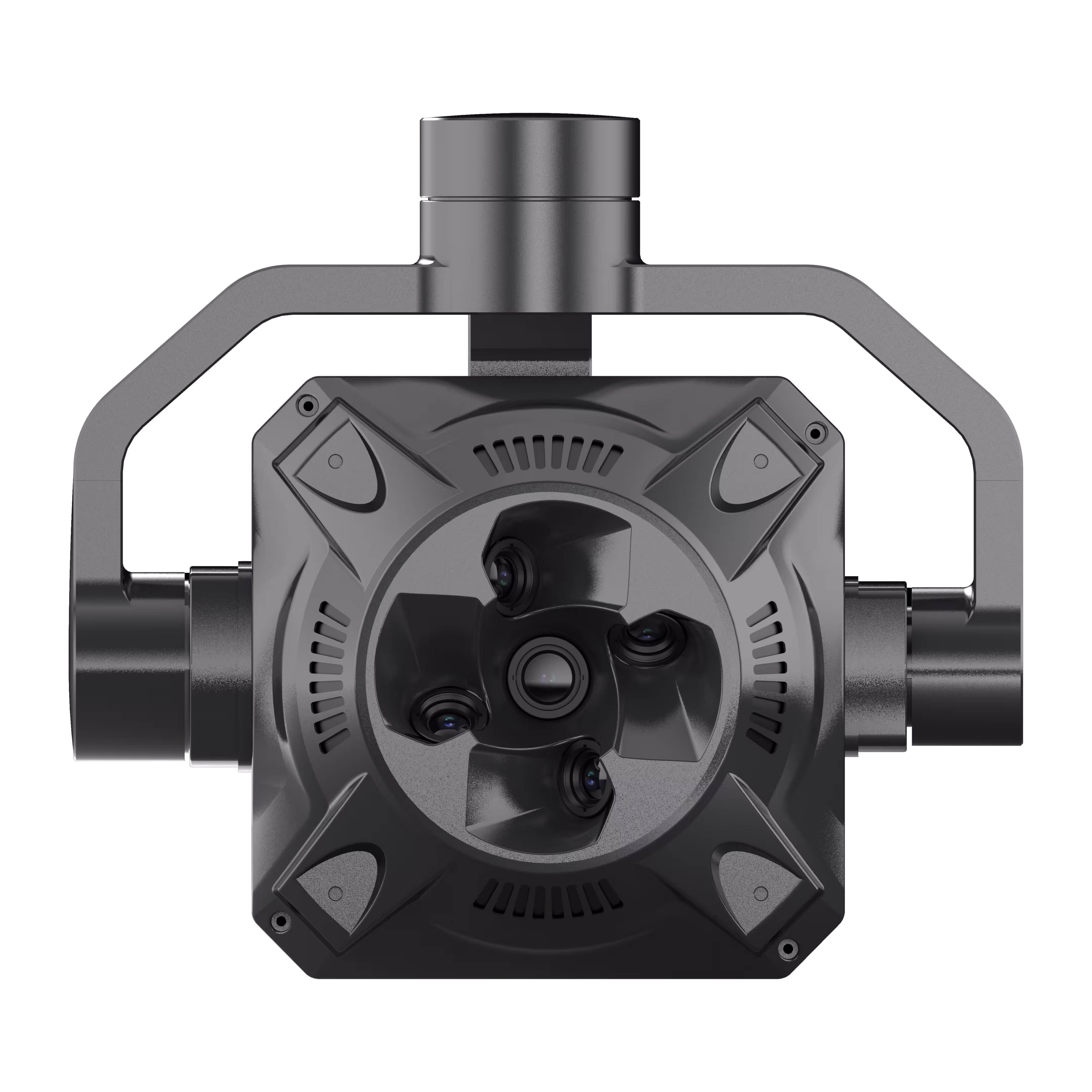
Payloads
X4 Pro
MMC X4 Pro is a high-performance, multi-purpose aerial survey camera designed for 3D modeling and precision mapping. As a professional five-lens oblique photography system, it breaks through the limitations of traditional single-angle mapping cameras, providing an integrated, high-precision, and efficient aerial survey solution for various mapping scenarios. Read More
Learn More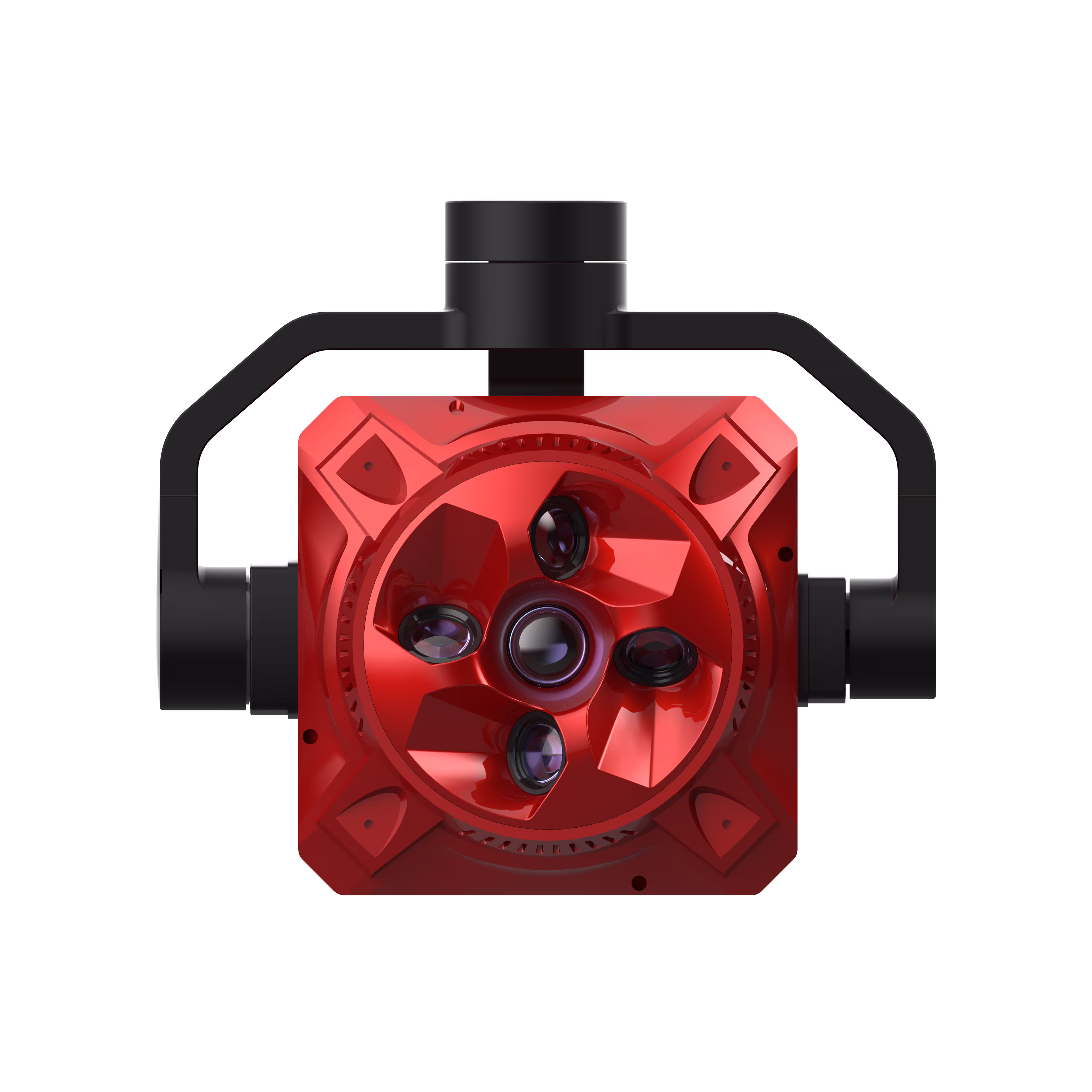
Traditional Challenges for Forestry Surveys
- Forest resource surveys are labor-intensive, and traditional methods demand significant manpower. This is particularly challenging in areas with complex geographical features where staff cannot easily access the site for surveys.
- Conventional survey methods struggle to rapidly, comprehensively, and accurately capture information about the target and its surrounding environment.
How Drones Aid Forestry Surveys
- Drones are swift and adaptable, capable of quickly reaching and scanning areas of interest without being hindered by terrain or other conditions.
- They generate precise digital models of forests, facilitating effective management of forest inventories.
Related Products
Drones
Skylle Ⅱ
Hexacopter Industrial Heavy-Lift Drone - 10kg Payload | 60min Flight Time | RTK cm-Level Positioning | IP54 Rated Read More
Learn More