Cadastral Survey
MMC Drones' Cadastral Survey Solutions leverage high-accuracy UAS technology to streamline land administration and property mapping. Our drones rapidly capture precise geospatial data, enabling the quick generation of digital cadastral models with centimeter-level accuracy. By replacing traditional ground surveys, we reduce time, costs, and manual errors while improving data reliability—ideal for governments, land registries, and real estate developers.
Painpoints
- – Cadastral surveys usually require collecting large data sets, including data gathered by ground teams in hazardous or inaccessible areas.
- – Traditional cadastral survey methods lack visual data, limiting adequate land-use analysis.
Advantages
- UAS Solutions can cover larger areas than terrestrial surveying tools, improving field data collection efficiency and reducing collection time.
- Keep digital records that can be easily used for regular land cover comparisons, so teams can monitor changes dynamically.
Solution
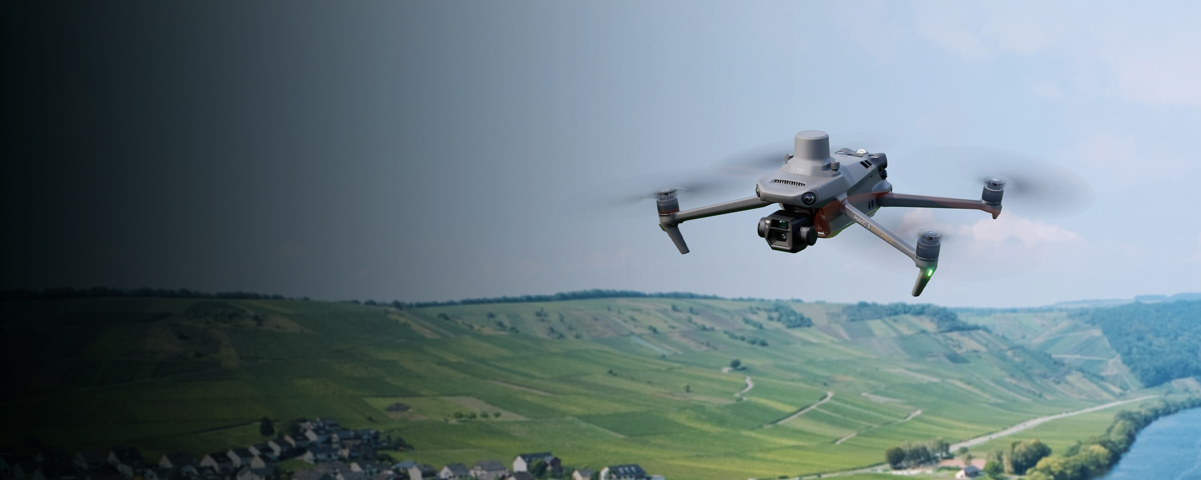
Portable Drone Surveying & Mapping Solution
- Portable solution, easy to carry and deploy.
- Centimiter level data thanks to its mechanical shutter and RTK capability.
- Ensure operational safety with omnidirectional obstacle avoidance sensors.
- Field-work efficiency, covers 2 km² per flight delivering a 5cm GSD.
- Real-Time Terrain Follow feature to ensure high-quality data capture in challenging and variable terrains.
Drone Platform
MMC X8T
Triple-Camera Thermal Imaging Drone - 48MP | 30X Zoom | 640×480 IR | AI-Powered Night Vision | 47min Flight Time Read More
Learn MorePayload And Software
Workflow
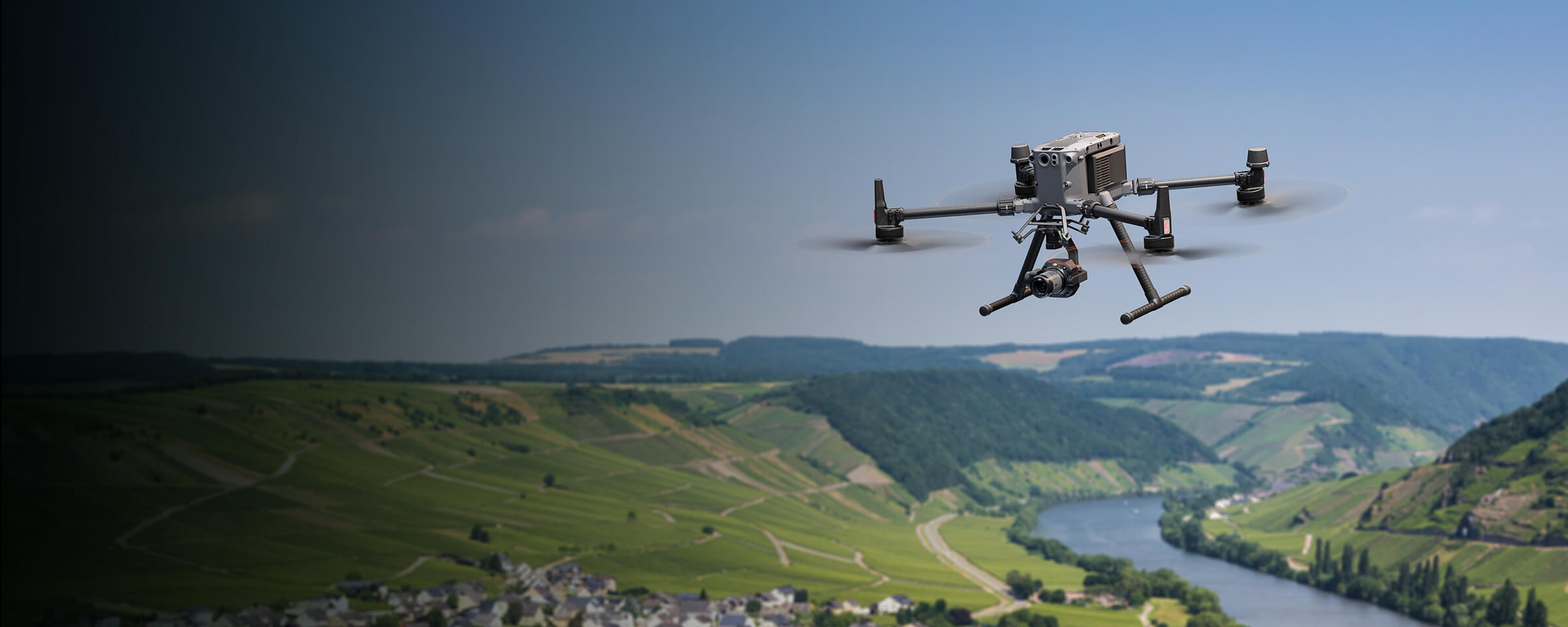
Full-Frame High-Performance Surveying and Mapping Solution
- Generate accurate centimeter-level deliverables even without ground control points.
- Field-work efficiency, covers 3 km² per flight delivering a 5cm GSD.
- Reliable and robust multi-purposed drone platform designed to endure harsh environments and conditions.
- MMC X4 Pro has a 45MP, full-frame sensor to ensure high quality data collection.
Drone Platform
MMC Skylle Ⅱ
Hexacopter Industrial Heavy-Lift Drone - 10kg Payload | 60min Flight Time | RTK cm-Level Positioning | IP54 Rated Read More
Learn MorePayload And Software
Workflow
LiDAR Mapping Solution
- Field-work efficiency, covers 3 km² per flight collecting both LiDAR and photogrammetry data.
- Highly integrated solution, reducing on-site time and ensuring data capture quality.
- Reliable and robust multi-purposed drone platform designed to endure harsh environments and conditions.
Drone Platform
MMC Skylle Ⅱ
Hexacopter Industrial Heavy-Lift Drone - 10kg Payload | 60min Flight Time | RTK cm-Level Positioning | IP54 Rated Read More
Learn More