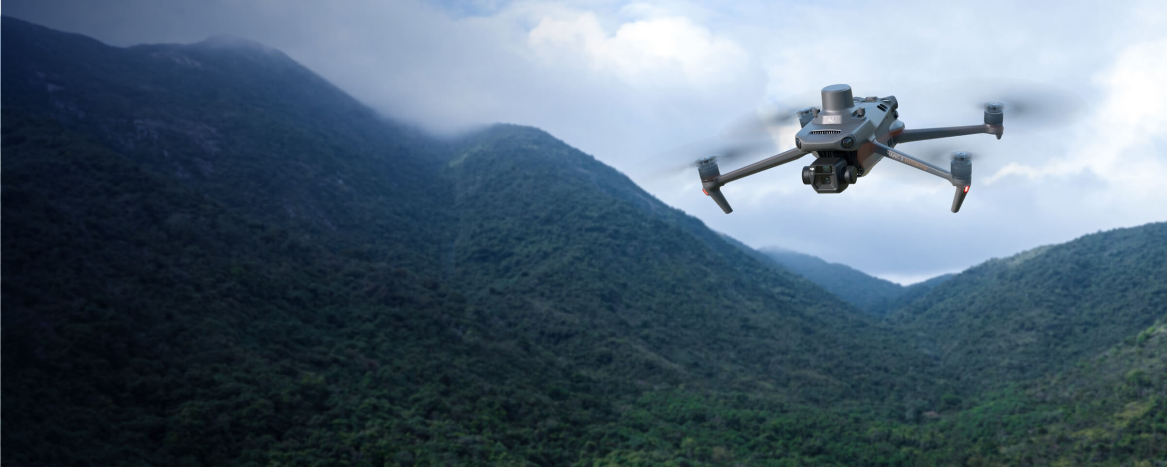
Land Survey
MMC Drones revolutionize land surveying by quickly generating accurate 2D and 3D models, enabling efficient data collection over large areas. With advanced UAV technology, they enhance safety by minimizing personnel exposure to hazardous environments and reduce costs through automated, high-resolution mapping. Ideal for topographic surveys and construction planning, MMC Drones streamline workflows while delivering precise, actionable geospatial data.
Painpoints
- – Field work is slow and inefficient using traditional surveying methods, increasing operational costs and on-site time requirements.
- – Traditional Surveying outputs lack visual references or low resolution, leading to a limited perspective of the landscape.
- – Collecting usable data in complex and remote areas is difficult and hazardous.
- – Frequently tracking landscape changes is inefficient with traditional methods.
Advantages
- Significantly reduce costs and save time by using affordable UAS solutions that automate data collection and processing.
- Visualize results with accurate, high-resolution maps, Point Clouds, and 3D models.
- Reduce personnel risk in hazardous environments with switly aerial data collection.
- Keep digital records that can be easily used for regular land cover comparisons, so teams can more easily and dynamically monitor changes.
Solution
Portable Drone Surveying & Mapping Solution
- Portable solution, easy to carry and deploy.
- Centimeter-level data thanks to its mechanical shutter and RTK capability.
- Field-work efficiency—covers 2 km² per flight, delivering a 5cm GSD.
- Real-Time Terrain Follow feature to ensure high-quality data capture in challenging and variable terrains.
Drone Platform
MMC X8T
Triple-Camera Thermal Imaging Drone - 48MP | 30X Zoom | 640×480 IR | AI-Powered Night Vision | 47min Flight Time Read More
Learn MorePayload And Software
Workflow
Full-Frame High-Performance Surveying and Mapping Solution
- Generate accurate centimeter-level deliverables, significantly reducing ground control points.
- Field-work efficiency—covers 3 km² per flight, delivering a 5cm GSD.
- Reliable multi-purposed drone platform.
- MMC X4 Pro has a 45MP, full-frame sensor to ensure high-quality data collection.
Drone Platform
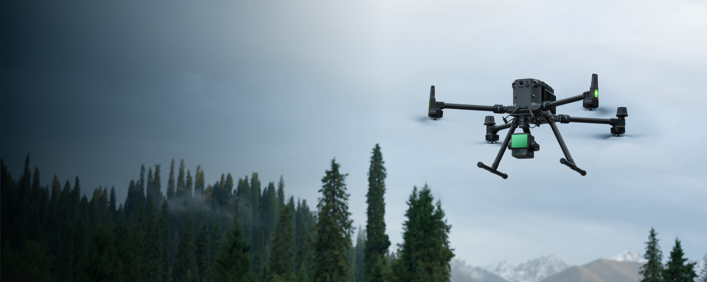
MMC Skylle Ⅱ
Hexacopter Industrial Heavy-Lift Drone - 10kg Payload | 60min Flight Time | RTK cm-Level Positioning | IP54 Rated Read More
Learn MorePayload And Software
Workflow
LiDAR Mapping Solution
- Field-work efficiency—covers 3 km² per flight, collecting both LiDAR and photogrammetry data.
- Highly integrated solution, reducing on-site time and ensuring data capture quality.
- Reliable and robust multi-purposed drone platform designed to endure harsh environments and conditions.
- Accurate LiDAR Data. Achieve a vertical accuracy of 5 cm or less. -Ideal for densely vegetated areas.
Drone Platform
MMC Skylle Ⅱ
Hexacopter Industrial Heavy-Lift Drone - 10kg Payload | 60min Flight Time | RTK cm-Level Positioning | IP54 Rated Read More
Learn More