Urban Planning
MMC Drones' Urban Planning Solutions empower city planners and developers with high-precision 2D/3D modeling for smarter decision-making. Our drone-captured data seamlessly integrates with GIS platforms, delivering accurate visualizations of terrain, infrastructure, and development scenarios. This aerial approach accelerates planning cycles, reduces survey costs by up to 50%, and enables dynamic scenario testing - all while maintaining centimeter-level accuracy for zoning, transportation, and land-use projects.
Painpoints
- – Land Management and Land Use Planning relies on a combination of low resolution images, physical maps, and contour maps, which are low-resolution and not frequently updated.
- – Urban data collection is inefficient and time-consuming due to complex environments.
Advantages
- Keep data accurate and up to date with drone-generated 2D maps and 3D models for more informed design and planning.
- Increase mapping efficiency in cities or rural areas with easy-to-create flight plans, reducing costs and field work duration.
Solution
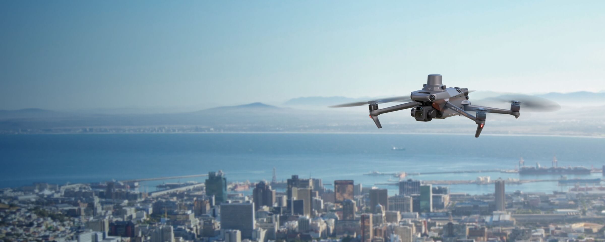
Portable Drone Surveying & Mapping Solution
- Portable solution, easy to carry and deploy.
- Centimiter level data thanks to its mechanical shutter and RTK capability.
- Ensure operational safety with omnidirectional obstacle avoidance sensors.
- Field-work efficiency, covers 2 km² per flight delivering a 5cm GSD.
- Real-Time Terrain Follow feature to ensure high-quality data capture in challenging and variable terrains.
Drone Platform
MMC X8T
Triple-Camera Thermal Imaging Drone - 48MP | 30X Zoom | 640×480 IR | AI-Powered Night Vision | 47min Flight Time Read More
Learn MorePayload And Software
Workflow
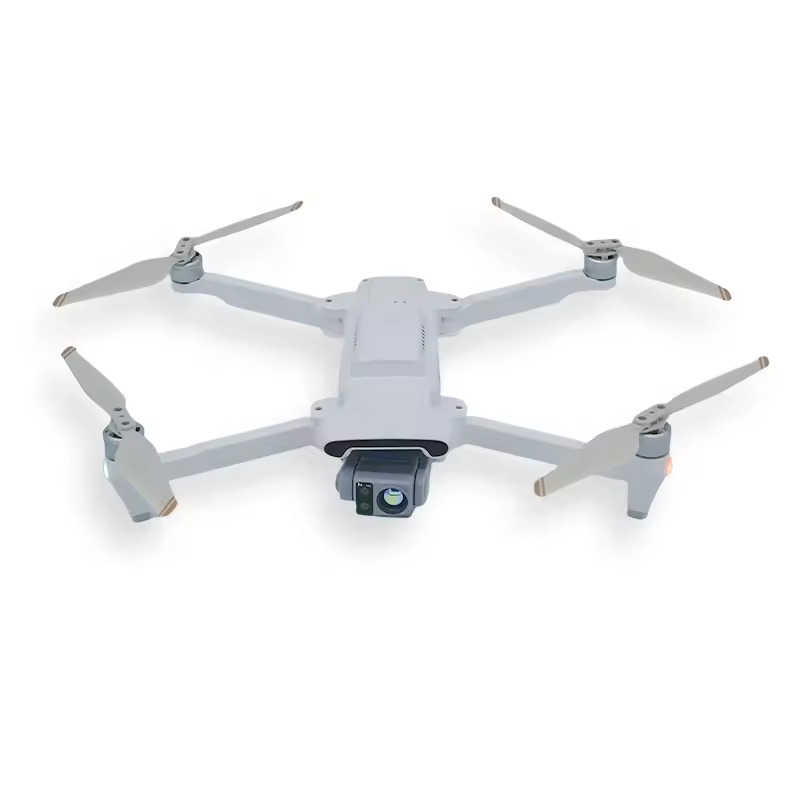
Full-Frame High-Performance Surveying and Mapping Solution
- Generate accurate centimeter-level deliverables even without ground control points.
- Field-work efficiency, covers 3 km² per flight delivering a 5cm GSD.
- Reliable and robust multi-purposed drone platform designed to endure harsh environments and conditions.
- MMC X4 Pro has a 45MP, full-frame sensor to ensure high quality data collection.
Drone Platform
MMC Skylle Ⅱ
Hexacopter Industrial Heavy-Lift Drone - 10kg Payload | 60min Flight Time | RTK cm-Level Positioning | IP54 Rated Read More
Learn More