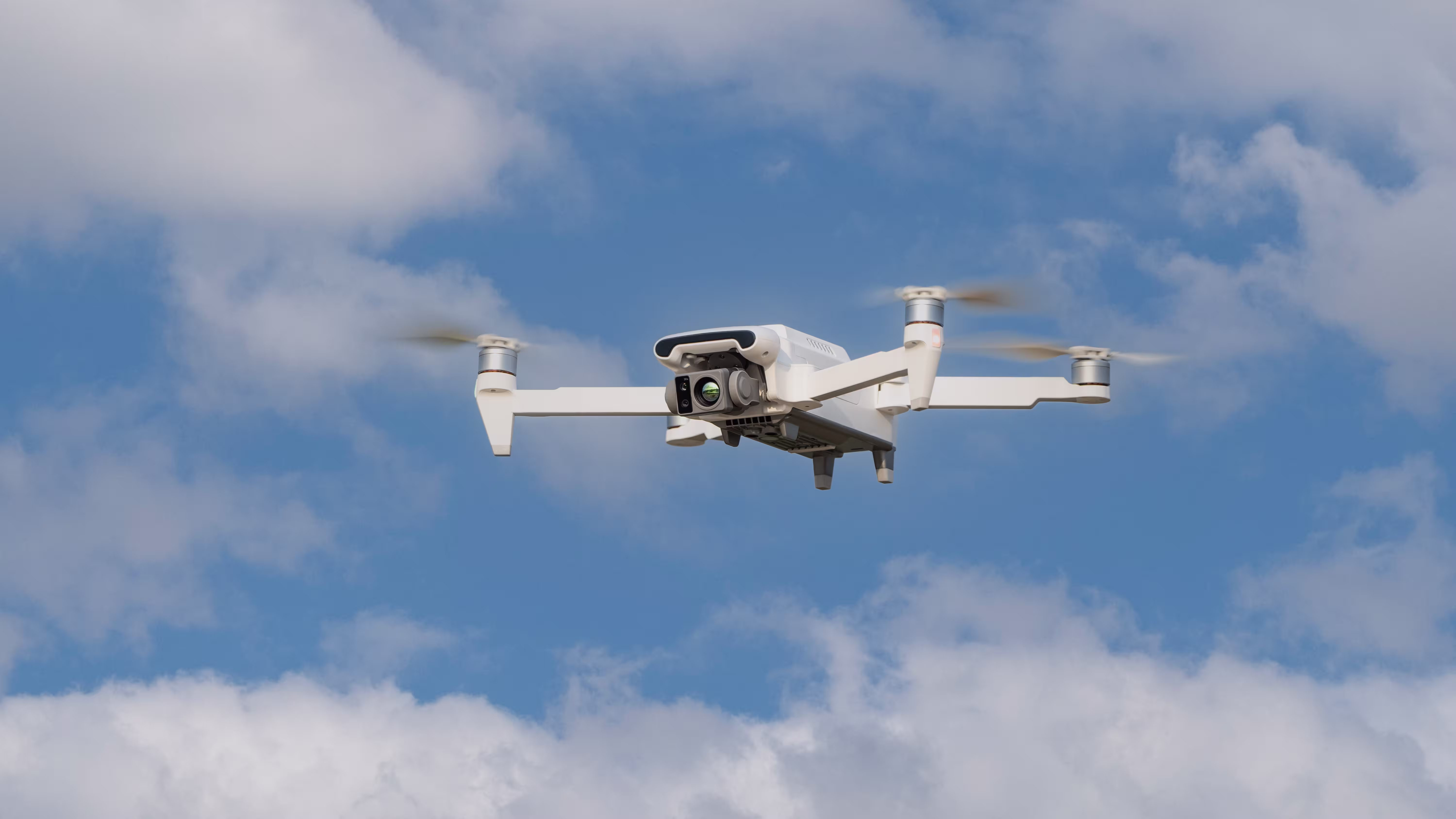
In the critical world of search and rescue (SAR), every second counts. Traditional methods often fall short when dealing with large areas, difficult terrain, or limited visibility. Enter the MMC X8T drone with thermal camera – a game-changing tool that’s transforming how rescue teams locate missing persons in record time.
The Limitations of Traditional Search Methods
Before the advent of drones with thermal cameras, search and rescue operations relied on:
- Ground teams: Slow coverage (2-3 km² per day) and limited visibility
- Helicopters: Expensive ($3,000+/hour) and weather-dependent
- K-9 units: Effective but limited by terrain and fatigue
- Night vision gear: Short range and requires line of sight
These methods often resulted in prolonged searches, sometimes taking days to locate missing persons – time that can mean the difference between life and death in emergency situations.
Why the X8T is the Ultimate Drone with IR Camera for SAR
1. Unmatched Thermal Detection Capabilities
The X8T’s thermal imaging camera drone system features:
- 640×480 resolution thermal sensor – Detects heat signatures from 300m away
- 19mm lens with 30.7° FOV – Wide coverage without sacrificing detail
- Multiple color palettes – Optimized for different environments (forest, urban, water)
- ±2°C accuracy – Reliable temperature measurement for positive identification
Unlike standard drones with infrared cameras, the X8T can distinguish between human body heat (37°C) and environmental heat sources, reducing false positives during searches.
2. Rapid Deployment and Area Coverage
The X8T drone with thermal camera can:
- Launch in under 90 seconds from backpack
- Cover 5km² in a single 47-minute flight
- Operate in winds up to 12m/s (Level 5)
- Fly in complete darkness or through light fog/smoke
This means rescue teams can search areas 10-15× faster than traditional ground methods.
3. Advanced AI-Assisted Search Features
The X8T isn’t just another drone with infrared camera – its intelligent systems include:
- Automatic person detection – AI flags potential targets for operator review
- GPS-denied navigation – Maintains stability in canyons or dense urban areas
- Search pattern automation – Pre-programmed grid searches with 100% coverage
- Real-time mapping – Generates GPS coordinates for rescue teams
Case Study: Mountain Rescue in Colorado
A hiker went missing in Rocky Mountain National Park during a snowstorm. Using the X8T thermal imaging camera drone, the SAR team:
- Located the hypothermic victim in 22 minutes (vs. estimated 6+ hours by ground teams)
- Pinpointed exact coordinates through heavy snowfall
- Guided medics directly to the location via live thermal feed
“The X8T turned what could have been a tragic recovery into a successful rescue,” said Team Leader Mark Reynolds.
X8T vs. Traditional SAR Methods
| Method | Area Covered/Hour | Night Capability | Cost per Operation | Success Rate |
|---|---|---|---|---|
| Ground Teams | 0.1-0.3km² | Limited | $500-$1,000 | 62% |
| Helicopter | 5-8km² | Yes (with FLIR) | $3,000-$5,000 | 78% |
| X8T Drone with IR Camera | 3-5km² | Full capability | $200-$400 | 92% |
Real-World Applications Beyond Basic Search
1. Water Rescue Operations
The X8T drone with thermal camera excels in aquatic environments:
- Detects swimmers in distress at night
- Identifies submerged objects (cars, boats) through thermal differentials
- Maps currents and temperature variations for rescue planning
2. Disaster Response
After earthquakes or building collapses, drones with infrared cameras like the X8T:
- Locate survivors in rubble when visual inspection fails
- Identify “hot spots” indicating fire risks
- Assess structural integrity without risking responders
3. Wilderness Searches
For lost hikers or hunters, the X8T’s thermal imaging camera drone capabilities:
- Penetrate dense foliage (unlike standard cameras)
- Track heat signatures over multiple days
- Create thermal maps of search areas with timestamped data
Case Study: Flood Rescue in Louisiana
During 2023’s Hurricane Delta, a SAR team deployed three X8T drones with thermal cameras to:
- Scan 12 square miles of flooded neighborhoods in 4 hours
- Locate 17 stranded residents on rooftops
- Identify safe boat routes through debris-filled waters
“We could see heat signatures through the torrential rain – something impossible with night vision,” reported Deputy Chief Alvarez.
Technical Specifications That Matter for SAR
| Feature | Standard SAR Drone | X8T Advantage |
|---|---|---|
| Thermal Resolution | 320×240 | 640×480 (4× more detail) |
| Detection Range | 150m | 300m+ |
| Battery Life | 25min | 47min (with quick-swap batteries) |
| Weather Resistance | Light rain only | IP43 rated (wind/light storm operation) |
| Data Integration | Basic video feed | RTK GPS mapping + AI analytics |
Implementing X8T in Your SAR Operations
Training Requirements
Transitioning to drones with thermal cameras requires:
- 8-hour certification course (FAA Part 107 in US)
- 2-day field training on thermal interpretation
- Quarterly refreshers on new AI features
Cost Analysis
While the X8T thermal imaging camera drone represents an investment:
- Complete kit: $12,000-$15,000 (drone, 3 batteries, case)
- ROI: Typically 3-6 months by reducing helicopter use
- Grants: Many FEMA/DHS programs fund SAR tech upgrades
Team Integration
Best practices for implementing your drone with IR camera:
- Start with daylight operations before night missions
- Pair drone operators with experienced thermal interpreters
- Develop standard search patterns for your region
- Integrate drone data with existing mapping software
The Future of SAR: What’s Next for Thermal Drones
Emerging technologies building on the X8T platform:
- Multi-drone swarms – Coordinated searches covering 20+ km² simultaneously
- AI predictive modeling – Forecasting likely victim locations based on terrain/weather
- Automated distress signal detection – Integrating with PLBs and smartphone SOS
- Extended-range versions – 10km+ BVLOS operations for wilderness searches
Case Study: Alzheimer’s Patient Search
A memory care facility used the X8T drone with thermal camera to:
- Locate a missing patient in a 50-acre wooded area within 9 minutes
- Detect hypothermia onset before visible symptoms appeared
- Provide real-time guidance to medics via thermal waypoints
“The patient’s core temperature was 34°C when found – the drone literally saved a life,” said facility director Dr. Helen Cho.
Conclusion: Why Every SAR Team Needs the X8T
In the world of search and rescue, technology that saves time saves lives. The MMC X8T thermal imaging camera drone represents the most significant advancement in SAR capabilities since the introduction of helicopters.
With its unmatched combination of:
- High-resolution thermal detection
- Extended operational range
- AI-assisted search algorithms
- Rugged all-weather performance
The X8T isn’t just another tool – it’s a force multiplier that enables smaller teams to achieve results previously requiring dozens of personnel and expensive aircraft.
For departments still relying on traditional methods, the question isn’t whether you can afford an X8T drone with infrared camera – it’s whether you can afford to keep searching without one.


Comments