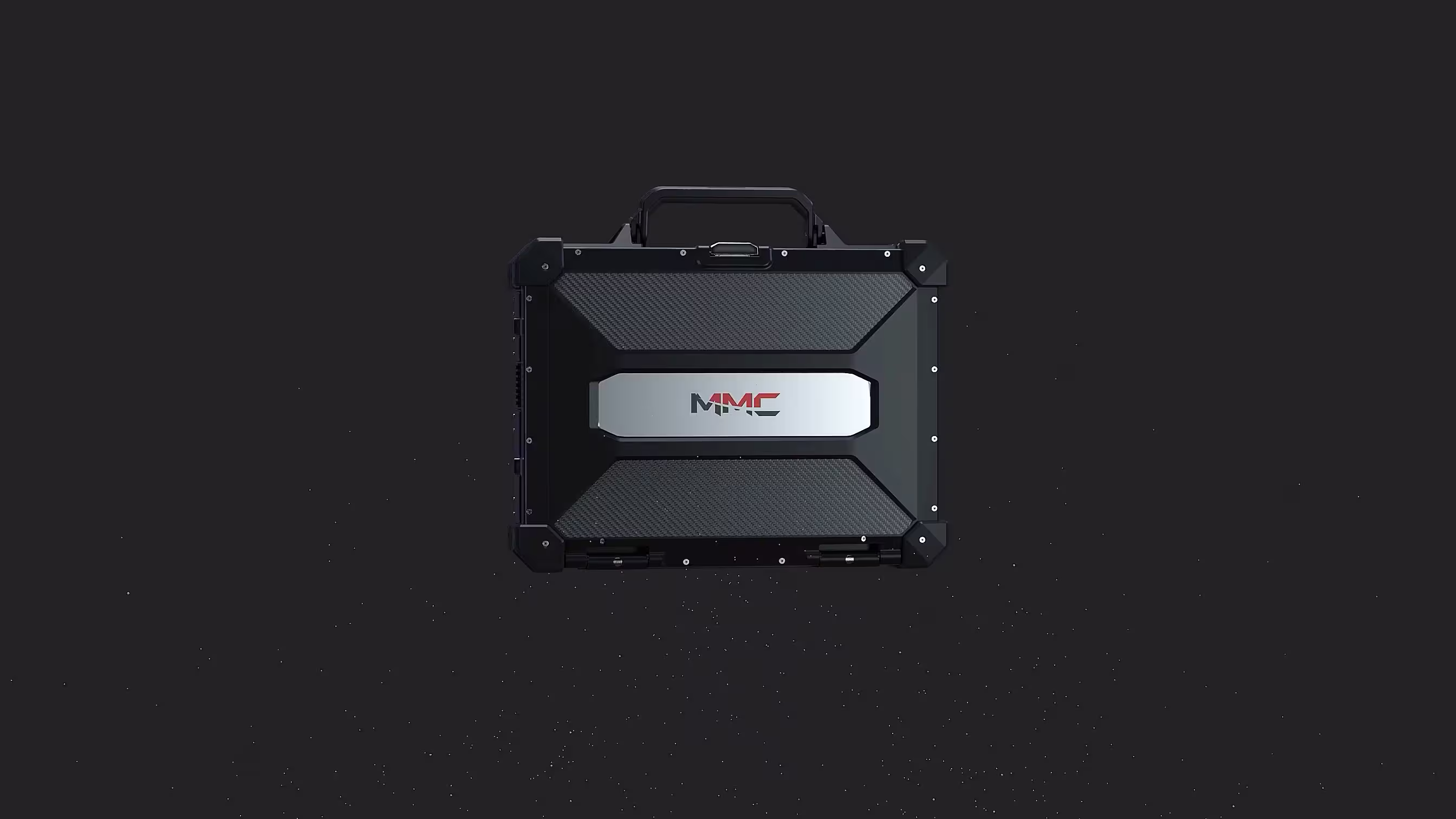
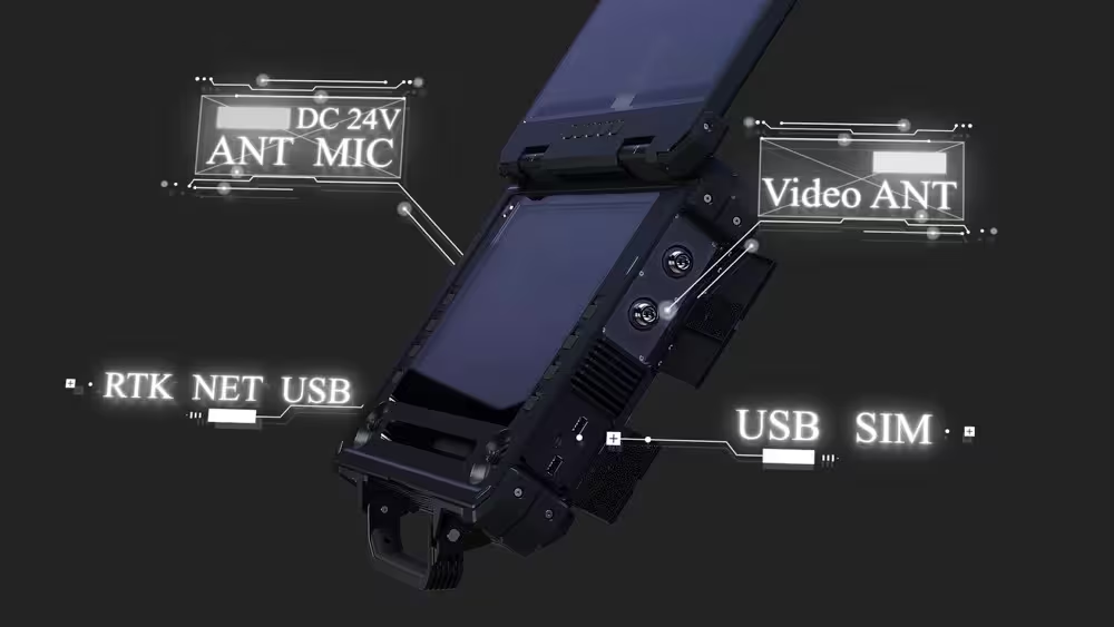

Industrial Inspectors: Master Long-Range Precision, Even in the Harshest Environments
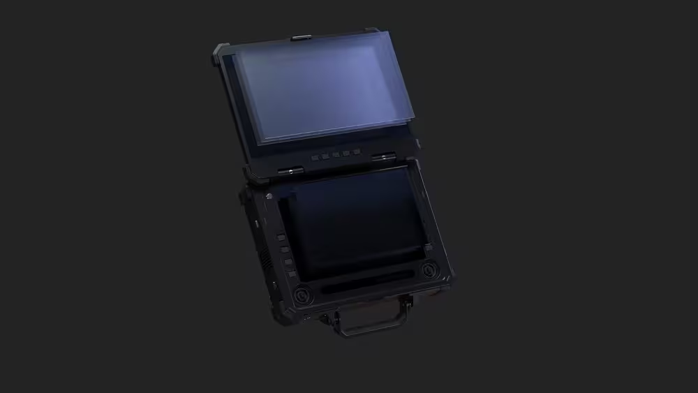
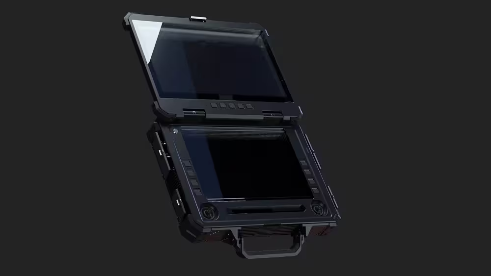
When your mission requires monitoring pipelines, power grids, or infrastructure across vast distances, Etlas Neo Ⅲ is your unwavering ally. With 80km point-to-point image transmission (20Mbps bandwidth) and IP65 rugged protection, it cuts through dust, rain, and extreme temperatures (-20°C to +60°C) to deliver stable, HD visuals—critical for spotting cracks, leaks, or anomalies from miles away. The dual 10-point touchscreens (15.6” upper/12.1” lower) with 1500nits brightness ensure crystal-clear data even under direct sunlight, while integrated controls let you adjust payloads (cameras, sensors) in real time. No more missed details. No more field interruptions. Just precision, from takeoff to landing.

Surveyors & Mappers: Turn Data into Decisions, Faster
For survey teams mapping terrain, construction sites, or urban landscapes, speed and accuracy are non-negotiable. Etlas Neo Ⅲ transforms raw flight data into actionable insights with its Intel Core i7 processor and 128GB SSD—powerful enough to run mapping software smoothly while storing high-res imagery. The dual screens let you split tasks: plan flight paths on the upper display, monitor live 3D models on the lower. Plus, with 5-hour battery life and quick 2.5-hour charging, you maximize field time, minimizing downtime between missions. Whether you’re creating topographic maps or tracking project progress, this ground station turns hours of work into minutes of results.

Public Safety & Emergency Responders: Reliability When Lives Are on the Line
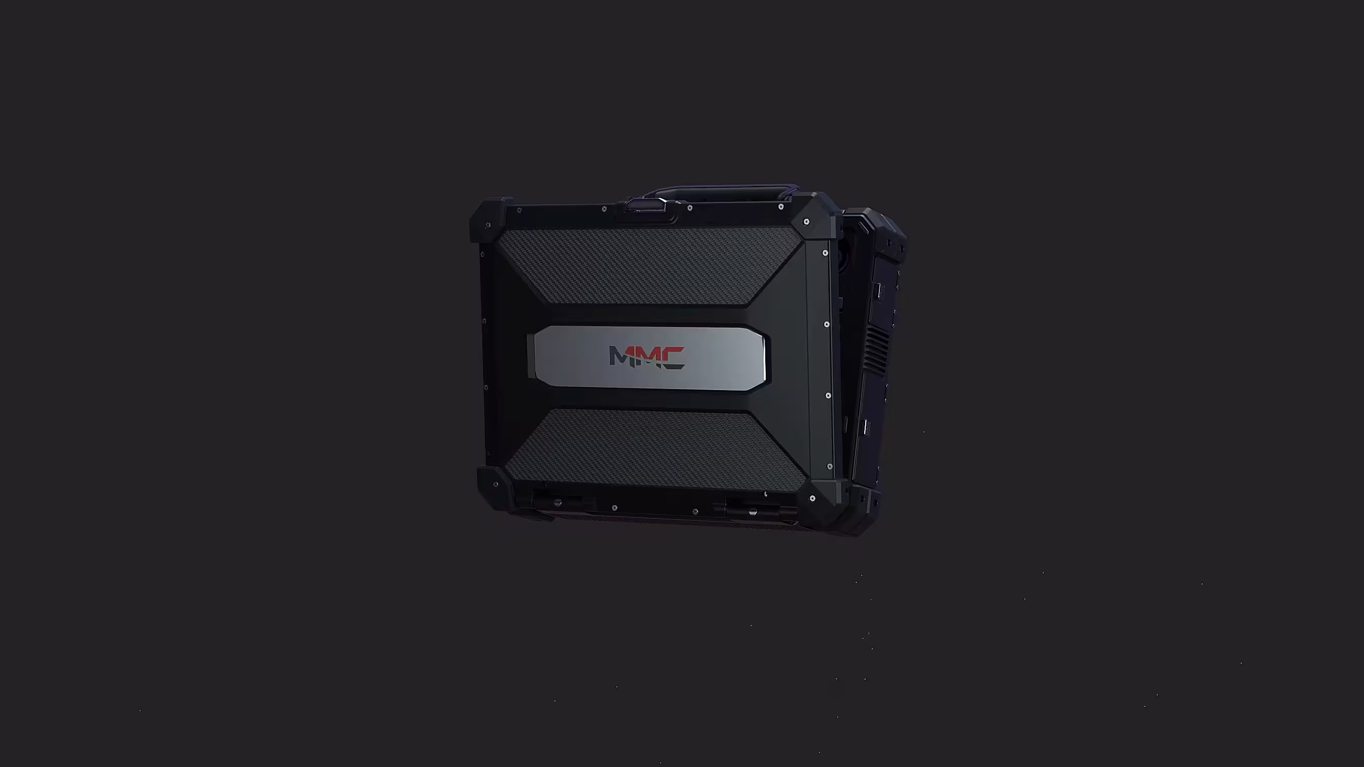
In critical scenarios—search-and-rescue, disaster relief, or law enforcement—you can’t afford lag or failure. Etlas Neo Ⅲ is engineered for mission-critical speed: instant flight mode adjustments, real-time flight status tracking, and seamless payload control (thermal cameras, spotlights) to locate survivors, assess hazards, or coordinate teams. Its magnesium alloy + rubber construction withstands drops and vibrations, while the built-in joystick offers tactile precision for maneuvering UAVs in tight spaces. When every second counts, trust a ground station that keeps up with the urgency of your mission.