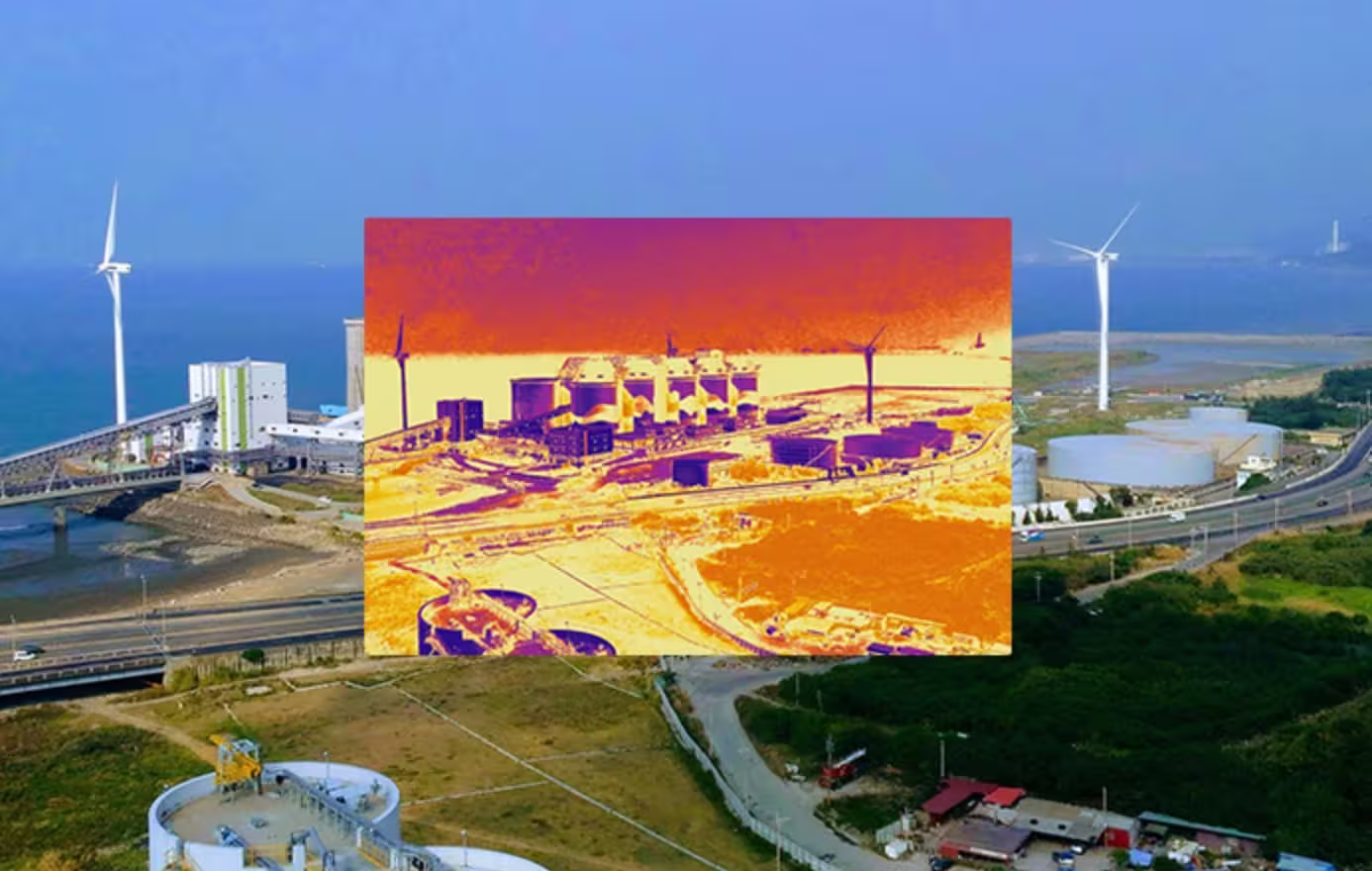
In the critical fight to protect endangered species and preserve biodiversity, conservationists are turning to cutting-edge drones for thermal imaging like the MMC X8T. This comprehensive guide explores how thermal imaging UAV technology is transforming wildlife monitoring, anti-poaching efforts, and habitat protection worldwide.
"The X8T thermal imager drone has become our most valuable tool in protecting rhinos from poachers. We can now monitor the entire reserve at night without disturbing the animals."
— Dr. Sarah Jennings, Wildlife Conservation Foundation
The Challenges of Traditional Wildlife Monitoring
Before the advent of drones with thermal imaging, conservation teams relied on:
- Ground patrols: Limited coverage and high operational costs ($150-$500 per patrol)
- Camera traps: Stationary with limited field of view
- Manned aircraft: Expensive ($1,000-$5,000 per hour) and disruptive to wildlife
- Night vision equipment: Limited range and effectiveness in dense vegetation
- Manual tracking: Time-consuming and often invasive to animals
How Thermal Imaging Drone Technology Solves Conservation Challenges
The X8T wildlife monitoring solution delivers:
- 90% larger coverage area compared to ground patrols
- 24/7 monitoring capability with night vision drone functionality
- Non-invasive observation from safe altitudes
- Real-time poacher detection even in complete darkness
- Precise population counts through thermal signature analysis
Key Features of the X8T Conservation Thermal Image Drone
1. Advanced Thermal Imaging for Wildlife Detection
The X8T drone for thermal imaging features:
- 640×512 radiometric thermal sensor detects animals through dense foliage
- 30Hz refresh rate tracks fast-moving animals without blur
- Multiple color palettes optimized for different environments and species
- Temperature sensitivity of <0.05°C detects subtle body heat signatures
- Long-wave infrared (LWIR) for reliable detection in all weather conditions
2. Specialized Conservation Modes
Intelligent functions designed for wildlife protection:
- Automated patrol routes: Pre-programmed flight paths for regular monitoring
- Animal tracking algorithms: AI identifies and follows specific species
- Poacher detection: Alerts for human thermal signatures in protected areas
- Population counting: Automated thermal signature analysis for accurate censuses
- Nest monitoring: Detects heat signatures of eggs and young animals
3. Eco-Friendly Design
Engineered for minimal environmental impact:
- Silent electric propulsion: <45dB noise level doesn't disturb wildlife
- Extended flight time: 45 minutes per battery (up to 4 hours with quick-swap batteries)
- Minimal visual profile: Dark color scheme and no flashing lights
- Weather resistant: Operates in rain, fog, and temperatures from -20°C to 50°C
- Solar charging compatible: Works with off-grid renewable energy systems
Conservation Applications of the X8T Thermal Imaging UAV
1. Anti-Poaching Operations
The X8T drohne mit wärmebildkamera is revolutionizing anti-poaching efforts:
- Detects poachers day or night through thermal signatures
- Covers 10x more area than ground patrols
- Provides real-time alerts to ranger stations
- Records evidence for prosecution
- Deters poachers through visible surveillance
Results: Reserves using X8T drones report 60-80% reduction in poaching incidents.
2. Wildlife Population Monitoring
How thermal imaging drones improve census accuracy:
- Counts animals hidden in dense vegetation
- Identifies species by thermal signature patterns
- Tracks migration patterns over large areas
- Monitors health through body temperature analysis
- Documents mother-offspring relationships
Case Study: Tiger reserve increased population count accuracy by 40% using X8T thermal data.
3. Habitat Protection
The X8T thermal image drone aids habitat conservation by:
- Identifying illegal logging and mining activities
- Monitoring forest health through temperature patterns
- Detecting wildfires in early stages
- Tracking invasive species movements
- Documenting habitat encroachment
Real-World Conservation Success Stories
Case Study: Rhino Protection in South Africa
A major game reserve implemented the X8T drohnen mit wärmebildkamera system:
- Reduced rhino poaching by 72% in first year
- Increased patrol coverage from 15% to 85% of reserve
- Identified 3 poacher camps through thermal signatures
- Discovered 5 previously unknown rhino calves
- Cut patrol costs by $320,000 annually
"The X8T gives us eyes over the entire reserve, day and night," said Chief Warden Daniel Nkosi.
Case Study: Wolf Monitoring in Yellowstone
Researchers used the X8T drone thermal imaging system to:
- Track 12 wolf packs across 2,000 square miles
- Document den sites without human disturbance
- Monitor prey interactions through thermal signatures
- Identify 3 new wolf pups missed by ground surveys
- Reduce researcher field time by 60%
Technical Specifications for Conservation Applications
| Feature | Standard Conservation Drone | X8T Thermal Imaging Drone |
|---|---|---|
| Thermal Resolution | 320×240 | 640×512 |
| Detection Range | 150m (animal), 300m (human) | 300m (animal), 600m (human) |
| Night Operation | Limited effectiveness | Full capability |
| Vegetation Penetration | Poor | Excellent |
| Data Collection | Visual only | Thermal + Visual + GPS metadata |
Conservation Software Package
The X8T includes specialized wildlife conservation software:
- Species identification database with thermal signatures
- Automated population counting tools
- Poacher alert system with real-time notifications
- Habitat change detection algorithms
- Data integration with GIS mapping systems
Implementing the X8T in Your Conservation Program
Step 1: Needs Assessment
Our conservation specialists will evaluate:
- Your current monitoring challenges and gaps
- Key species and habitats requiring protection
- Terrain and environmental conditions
- Local regulations and airspace considerations
Step 2: Custom Training Program
We provide complete training for your team:
- Day 1: Drone operations and safety
- Day 2: Thermal image interpretation for wildlife
- Day 3: Species-specific monitoring protocols
- Day 4: Anti-poaching operational procedures
- Ongoing: Advanced data analysis training
Step 3: Field Deployment
Our implementation team assists with:
- Establishing optimal flight paths for your reserve
- Setting up automated monitoring schedules
- Integrating with existing ranger operations
- Developing response protocols for thermal detections
Funding and Grant Opportunities
Many organizations qualify for conservation technology grants:
- Wildlife conservation grants often cover 80-100% of drone costs
- Anti-poaching initiatives frequently receive special funding
- Research institutions may qualify for scientific equipment grants
- Government programs in many countries support conservation tech
Our team can help you identify funding sources and prepare grant
Our Grant Support Services
We assist conservation organizations with:
- Identifying appropriate funding opportunities
- Preparing compelling grant applications
- Providing technical specifications for proposals
- Offering cost-benefit analysis data
- Connecting with successful grant recipients as references
Frequently Asked Questions
Q: How does the X8T thermal imaging uav handle different weather conditions?
A: The X8T is designed for all-weather operation:
- Thermal imaging works effectively in rain, fog, and complete darkness
- The drone can operate in temperatures from -20°C to 50°C
- Wind resistance up to 12 m/s (27 mph)
- Water-resistant design for humid environments
Q: What about regulations for flying drones for thermal imaging in protected areas?
A: We provide complete regulatory support:
- Help obtaining necessary permits and waivers
- Training on wildlife-friendly flight practices
- Documentation showing minimal disturbance to animals
- Assistance with environmental impact assessments
Most conservation drones operate under special research permits.
Q: How difficult is it to interpret the thermal data from a drone with thermal imaging?
A: Our system includes:
- Intuitive software with species identification guides
- Automated alerts for human and animal detections
- Side-by-side thermal and visual image comparison
- Training programs tailored to your team's needs
- 24/7 technical support for data interpretation
Most rangers become proficient within 2-3 weeks.
What Conservation Leaders Say
"The X8T thermal imager drone has transformed our ability to protect elephants. We can now monitor the entire migration route at night when most poaching occurs, without disturbing the herds."
— Jamal Abdi, Director, African Elephant Conservation Initiative
"Our research on snow leopards entered a new era with the X8T drohne wärmebildkamera. We're discovering behaviors and population patterns we never could observe before."
— Dr. Elena Petrov, Himalayan Wildlife Research Center
The Future of Conservation Technology
The X8T platform continues to evolve with new conservation features:
- AI-powered species recognition: Automatic identification of individual animals
- Predictive analytics: Forecasting animal movements based on thermal patterns
- Automated recharging stations: Enabling continuous monitoring in remote areas
- Multi-sensor integration: Combining thermal with other environmental sensors
- Global database: Sharing anonymized thermal signatures for population tracking
Getting Started with the X8T Conservation Drone
Take the first step toward transforming your wildlife protection efforts:
- Schedule a consultation with our conservation specialists
- Receive a customized proposal for your specific needs
- Explore funding options with our grant support team
- Arrange training for your staff
- Deploy the system with our ongoing support
Request Your Free Conservation Assessment
Technical Support and Conservation Partnership
Every X8T thermal imaging drone purchase includes:
- 3-year comprehensive warranty
- Priority technical support with 24/7 emergency response
- Regular software updates with new conservation features
- Field support visits as needed
- Access to our global conservation network for best practices
"We don't just sell drones - we partner in conservation. A portion of every X8T purchase supports wildlife protection initiatives worldwide."
— MMC Conservation Technology Pledge


Comments