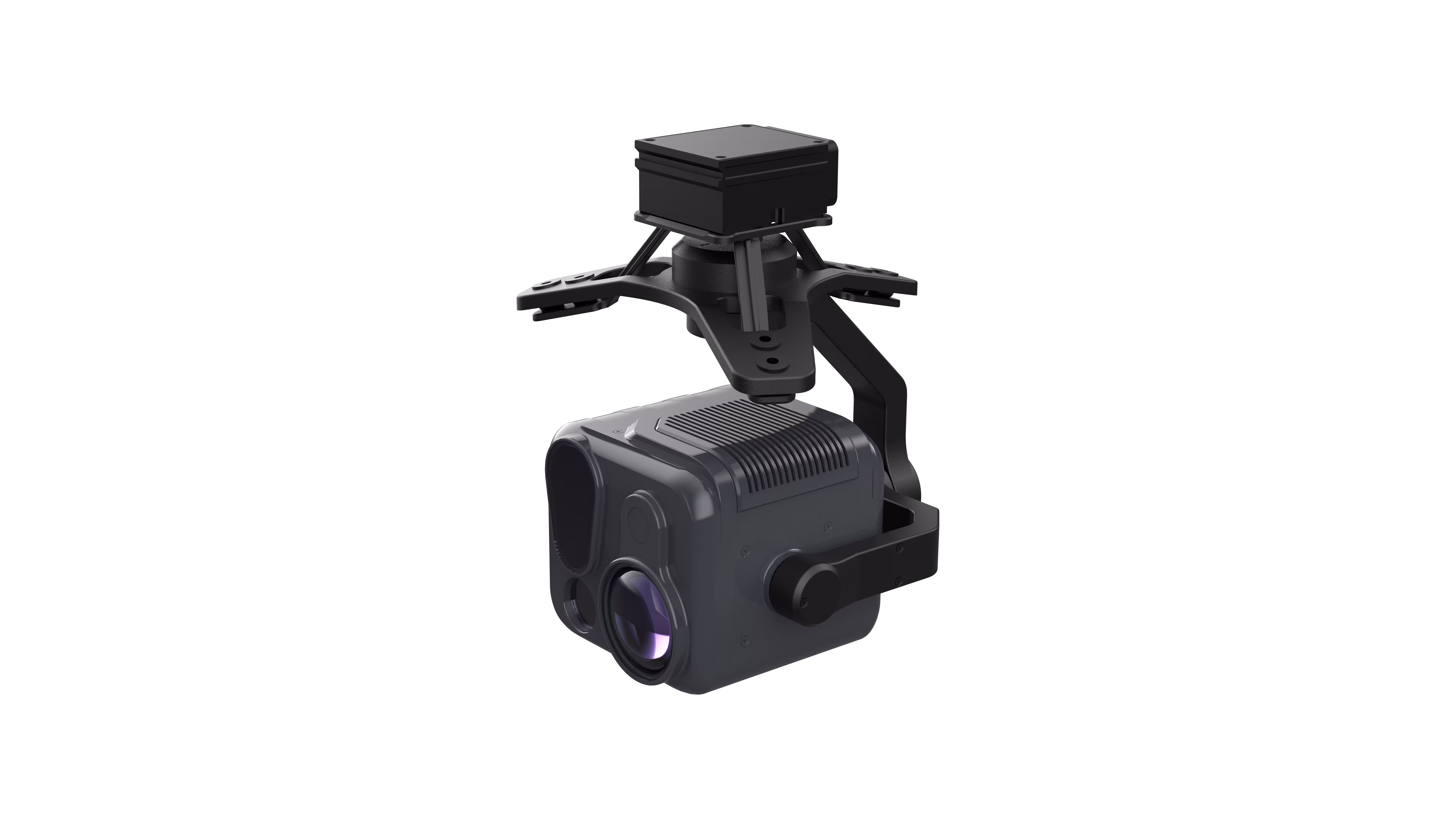

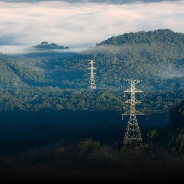
For Power Grid Inspectors: Detect Faults Before They Disrupt—Day or Night
Imagine soaring over miles of power lines, where a single overheated joint or frayed insulator could trigger a blackout. The HT18R turns this high-stakes mission into a precision operation. Its 48MP telephoto visible camera with 25x hybrid optical zoom (up to 144x hybrid zoom) zeros in on tiny defects from a safe distance, while the 640×512 thermal imager pierces through haze and darkness to pinpoint hotspots (-40℃~+550℃) with ±2℃ accuracy. Pair that with a 2000m laser rangefinder to map fault locations in real time, and you’re not just inspecting—you’re preventing outages. Whether it’s a rural transmission line or an urban substation, this payload transforms your UAV into a 24/7 grid guardian.
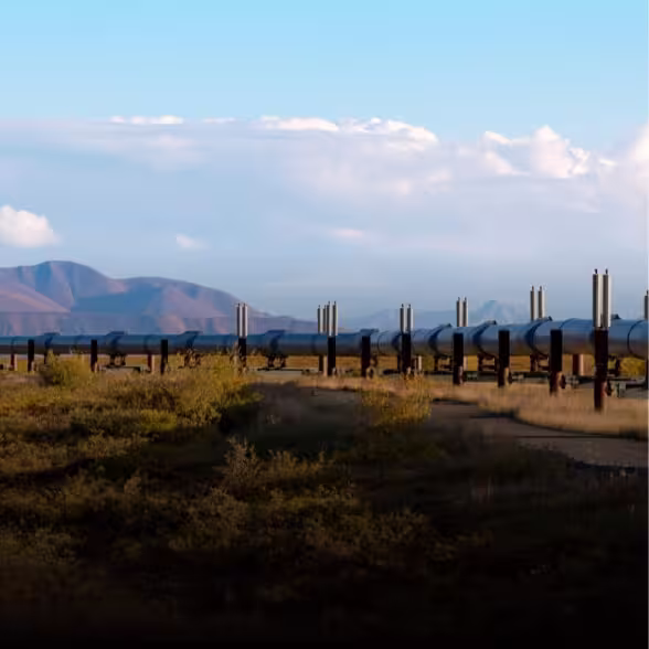
For Oil & Gas Pipeline Operators: Monitor Vast Networks with Unrivaled Clarity
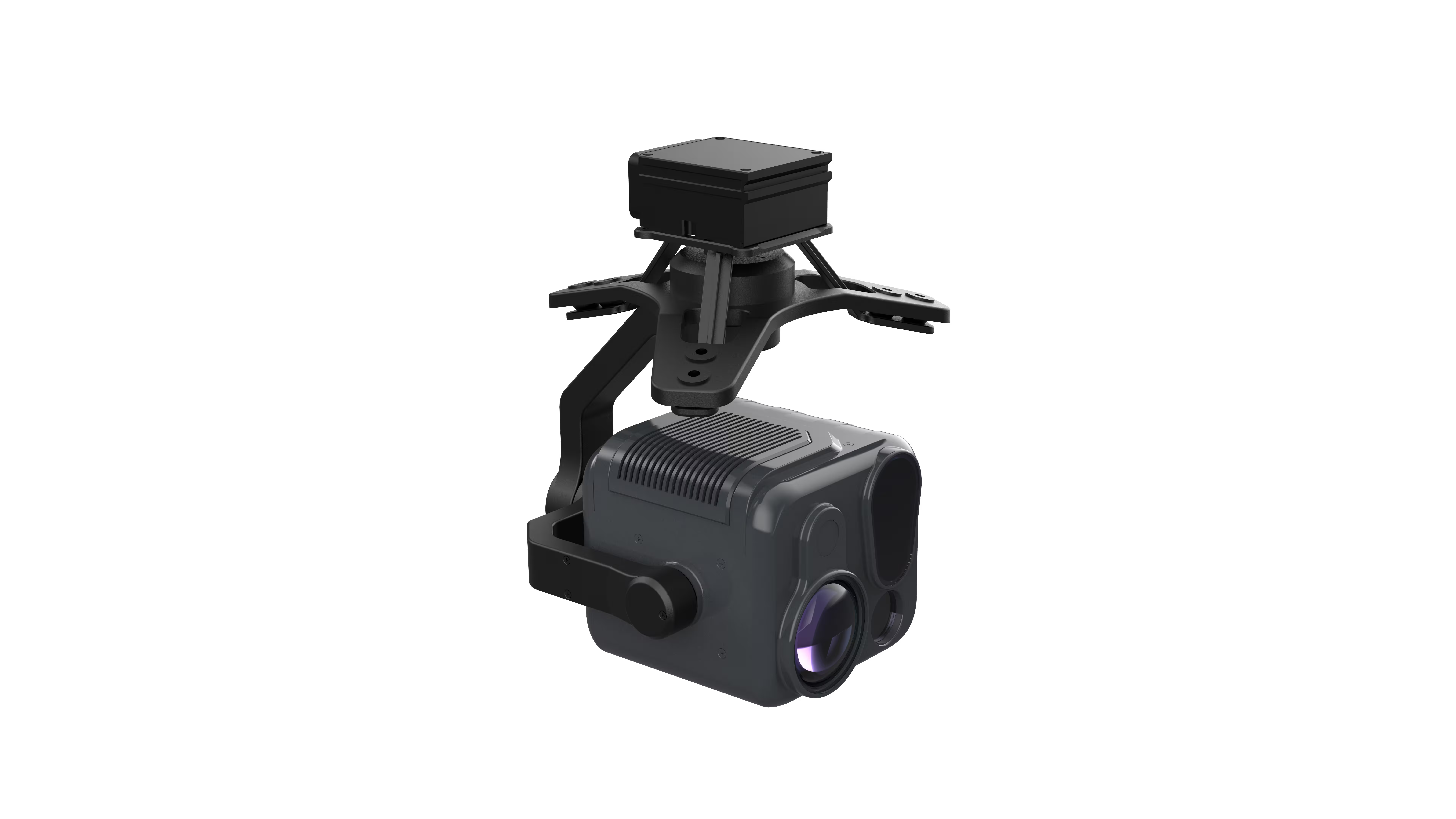
Pipelines snake through rugged terrain, from deserts to forests, leaving little room for error. The HT18R is built to conquer this challenge. Its 48MP wide-angle visible camera captures sweeping panoramic views of pipeline routes, while the telephoto lens zooms into corrosion, leaks, or unauthorized construction with 6K/25fps video detail—sharp enough to read valve labels from 500m away. When darkness falls, the thermal imager exposes temperature anomalies that signal hidden leaks, and the laser rangefinder tags coordinates for rapid response. Lightweight (1kg) and IP44-rated, it integrates seamlessly with UAVs, turning your fleet into a pipeline surveillance powerhouse.
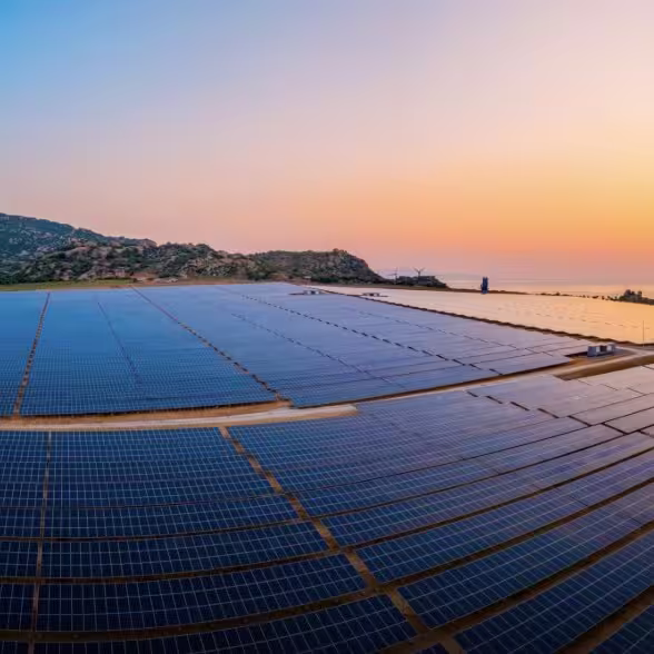
For Solar Farm Managers: Maximize Efficiency by Spotting Defects in Seconds
Solar panels span acres, and even a single shaded or damaged cell drains profitability. The HT18R turns your UAV into a solar diagnostic tool. Its 48MP high-resolution imaging identifies micro-cracks, delamination, or soiling across hundreds of panels in a single flight, while the thermal imager highlights underperforming cells with pinpoint heat signatures. With 144x hybrid zoom, you can inspect individual panel strings without landing, and export geotagged data to your maintenance software—cutting inspection time by 70% and boosting energy output by ensuring every panel operates at peak efficiency.
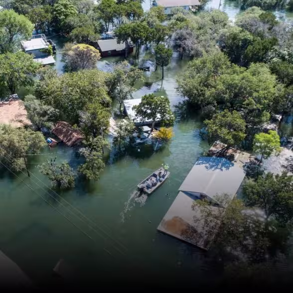
For Fire & Rescue Teams: Navigate Chaos with Thermal Vision and Laser Precision
When seconds count in urban or forest fires, the HT18R is your eyes in the sky. Its thermal imager cuts through smoke to locate trapped victims or hotspots, while the visible cameras document fire spread with 48MP clarity for command centers. The 2000m laser rangefinder calculates distances to flame fronts or hazardous structures, helping teams plan safe evacuation routes. With a wide operating temperature range (-20~60℃) and tri-axis stabilization (±0.02° jitter), it performs flawlessly in extreme heat and turbulence—turning your UAV into a life-saving tool that sees what others can’t.