For Law Enforcement & Counterterrorism Units
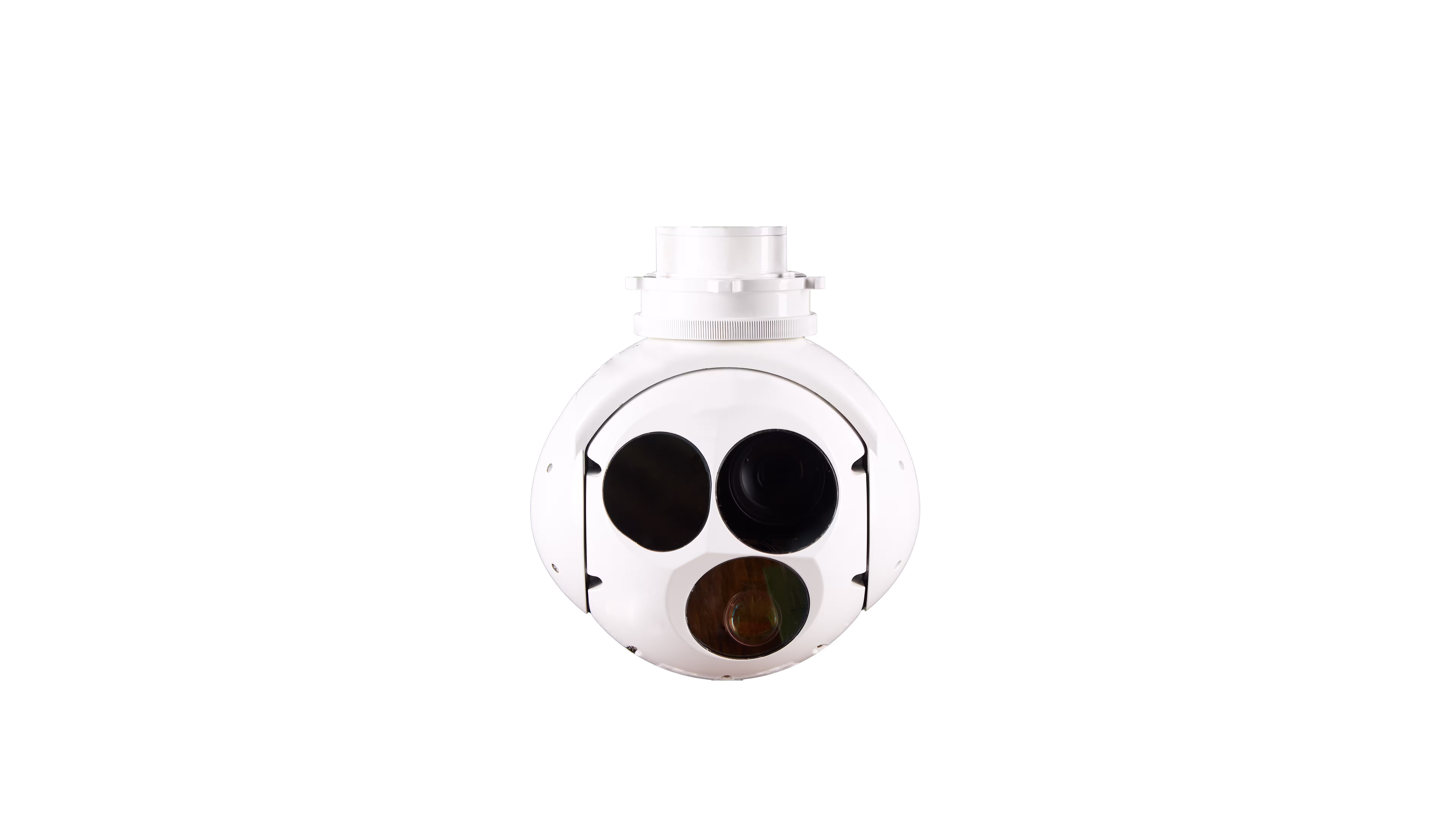
When every second counts and precision is non-negotiable, the ZT30RL_P transforms your VTOL drone into an unblinking sentinel for high-stakes operations. Imagine tracking a suspect fleeing through dense urban alleys at night: your drone hovers 400m above, its 640×512 IR sensor (35mm lens) cutting through darkness to highlight body heat signatures, while the 30x optical zoom visible camera zooms in to read a license plate from 1km away. The 5km laser rangefinder tags their exact coordinates, and the dual-axis gyro-stabilized platform (≤0.02° jitter) ensures footage stays crystal-clear—even in 12m/s winds—so your team moves in with confidence. Whether it’s hostage rescue, riot control, or narcotics interdiction, this payload turns "searching" into "finding"—fast.
For Military & Border Security Forces
Control the battlefield with a payload built for 24/7 dominance. Picture patrolling a 200km desert border at dawn: your Loong-series VTOL drone cruises at 35m/s, its 360° continuous-rotation azimuth scanning for threats. A heat signature appears—insurgents hiding in a wadi. The 2km laser illuminator locks onto them, marking the target for your ground unit, while the 5km rangefinder calculates distance to within 1m. In monsoon rains or sandstorms? No problem: IP54 protection and -20°C~60°C operating range mean missions never pause. From convoy escort to forward reconnaissance, the ZT30RL_P ensures you “see first, act first”—before the enemy knows you’re there.
For Critical Infrastructure & Energy Operators
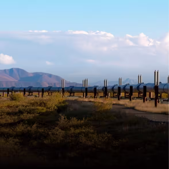
Guard pipelines, power grids, and refineries with unmatched efficiency. Imagine inspecting a 50km oil pipeline: your drone flies at 200m altitude, the 30x visible camera zooming into valve gaskets to spot hairline cracks, while the IR sensor detects overheating joints hidden by vegetation. The 5km rangefinder maps defect locations to GPS coordinates, generating a real-time report for your maintenance team—all in 2 hours, vs. 2 days with ground crews. Wind turbines? Solar farms? No challenge is too big: lightweight (≤2.5kg) and quick-detach, it integrates seamlessly with your VTOL fleet for 4+ hour missions. Protect assets, cut costs, and eliminate human risk—this is infrastructure security reimagined.
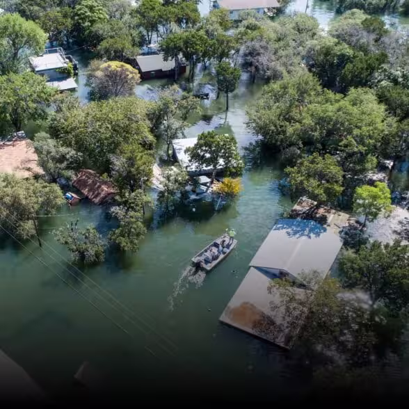
For Emergency Response & Disaster Relief Teams
When disaster strikes, time is lives. The ZT30RL_P turns your drone into a lifesaving tool in wildfires, earthquakes, or floods. Visualize a forest fire: your drone soars above the smoke, its IR sensor piercing the haze to pinpoint trapped hikers by body heat, while the 30x camera identifies safe evacuation routes. In an earthquake, it scans collapsed buildings for survivors, using the laser rangefinder to measure debris piles and guide rescue helicopters to landing zones. Even in heavy rain (IP54-rated), it keeps working—because hope can’t wait for clear skies.