Professional Surveying & Mapping Firms: Turn Days of Work into Hours
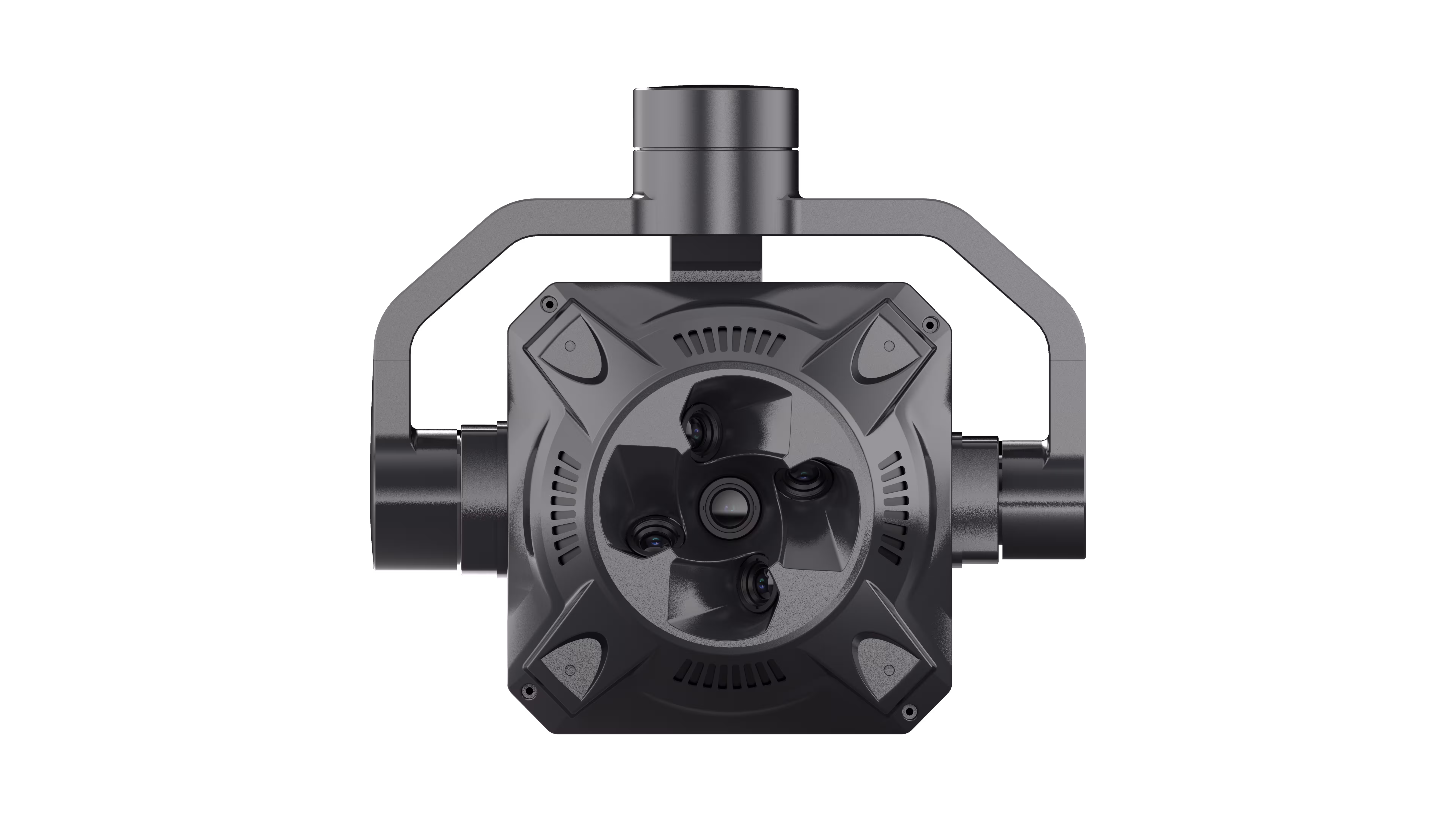
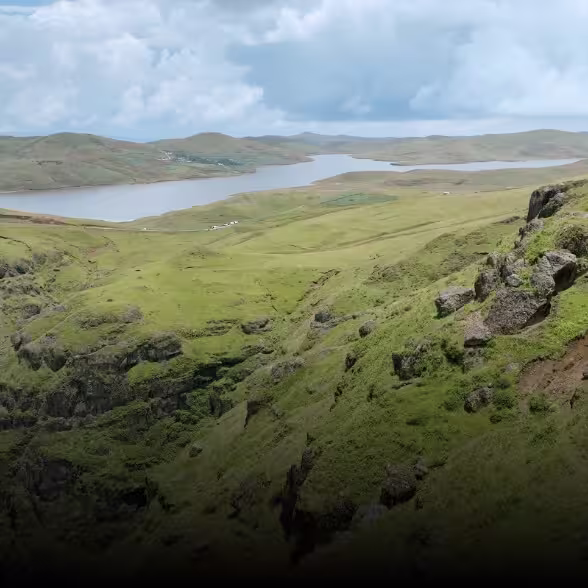
Your Challenge: Tight deadlines, large survey areas, and the need for sub-centimeter accuracy in topographic maps, cadastral surveys, or disaster assessment. Why X2C? 5-Lens Oblique Power: Capture vertical and 45° oblique images simultaneously, eliminating blind spots and delivering 125MP total resolution (25.16MP per lens) for hyper-detailed terrain textures. Lightning-Fast Workflow: Hot-swappable 1280GB storage modules and Type-C high-speed transfer (≥300M/S) let you offload data in minutes—no need to power the camera on. POS Precision: Five independent, real-time POS datasets embedded directly into photos ensure your 3D models align with GPS coordinates, reducing post-processing time by 40%. Visualize this: A 10km² urban survey that once took 3 days? With X2C, you’ll fly once, process overnight, and deliver a pixel-perfect 3D model by morning.
Engineering & Construction Teams: Monitor Projects with Surgical Accuracy
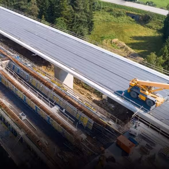
Your Challenge: Tracking progress on mega-projects (bridges, skyscrapers, mines) where small errors lead to costly delays. Why X2C? Close-Range Photogrammetry: Capture 2mm-resolution details—ideal for inspecting welds, measuring structural deformations, or documenting as-built conditions. Extreme Durability: Industrial-grade CNC aluminum body and -20°C~65°C operating range mean it performs flawlessly, whether you’re surveying a desert solar farm or an alpine construction site. Single-Lens Flexibility: Switch to the 25mm nadir lens for rapid orthophoto mapping, or use all five lenses for comprehensive 3D reconstruction of complex structures. See the difference: A construction manager spots a 5mm misalignment in steel beams—caught in time to avoid rework costing $100k. All thanks to X2C’s precision.

Government & Public Utilities: Secure, Scalable, and Future-Proof
Your Challenge: Managing large-scale infrastructure (power grids, pipelines, smart cities) with strict compliance and long-term data integrity. Why X2C? Seamless UAV Integration: Compatible with leading platforms like Skylle Ⅱ and more—no need to replace your existing fleet. Smart Data Management: Built-in survey software auto-updates firmware, tracks flight missions, and generates KML files for GIS integration—keeping data organized and audit-ready. Reliable in Chaos: No exposed cables, 3-axis stabilized gimbal, and real-time offset calculation ensure stable performance during emergency response (floods, wildfires, or post-disaster assessment). Trust the tech: A municipal team maps 500km of power lines in a week, identifying 12 high-risk corrosion points—preventing outages before they happen.
Geospatial Tech Innovators: Push the Boundaries of 3D Modeling
Your Challenge: Developing cutting-edge solutions for AR/VR, digital twins, or urban planning that require lifelike, immersive 3D environments. Why X2C? S-GS Global Shutter: Eliminates motion blur, even at high flight speeds, for crisp textures in digital twins of historic landmarks or bustling city centers. Customizable Workflows: Support for Bluetooth parameter adjustment and secondary development via open interfaces lets you tailor the camera to your proprietary software. Next-Level Visuals: APS-C sensors (23.1mm x 15.4mm) and 3.76μm pixels capture rich color depth, making your 3D models indistinguishable from reality. Innovate fearlessly: A tech startup creates a VR tour of a UNESCO World Heritage Site—so realistic, visitors swear they’re standing in the ancient ruins.