Public Security & Law Enforcement: Hunt Targets, Secure Perimeters, and Own the Night
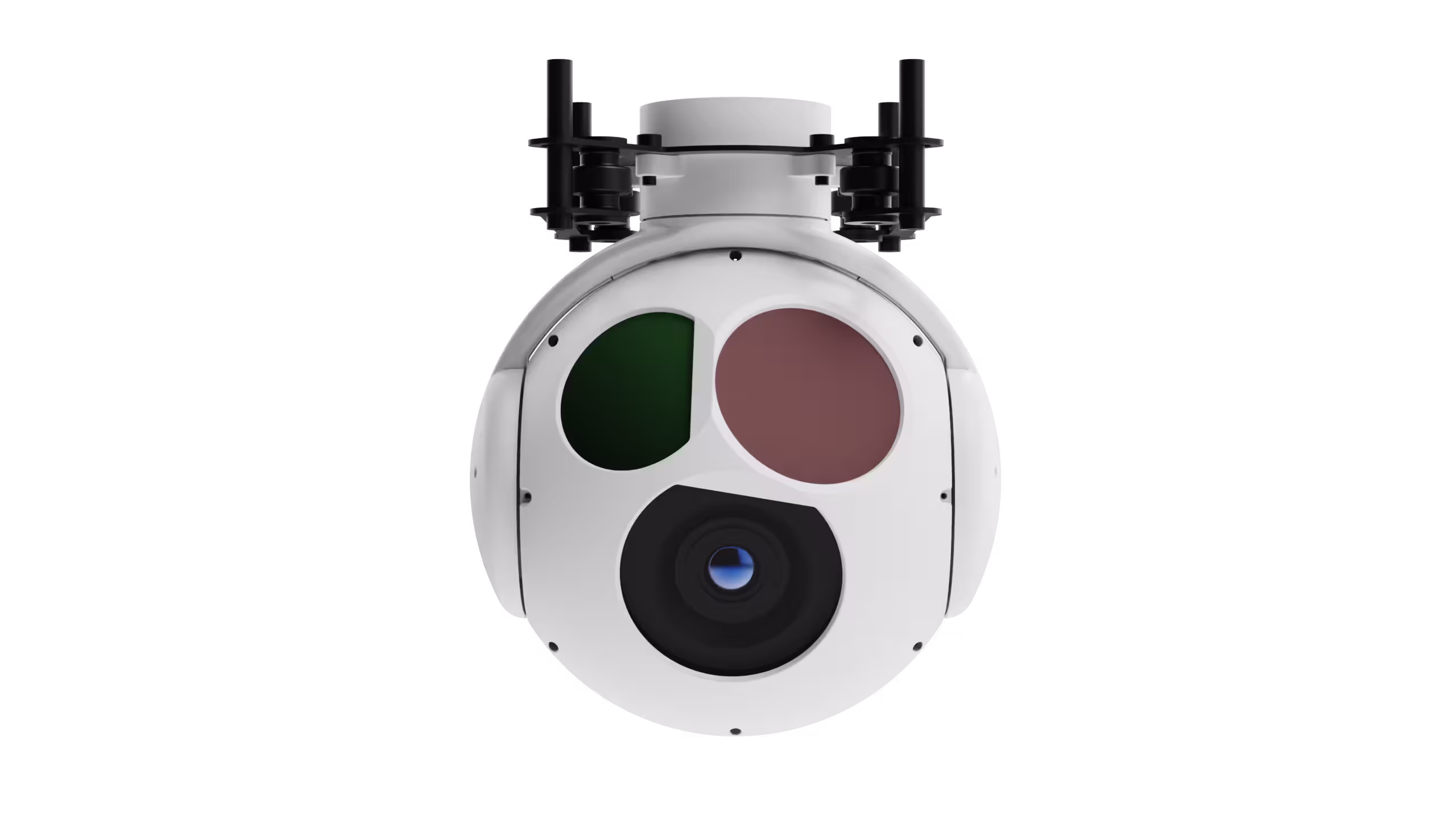
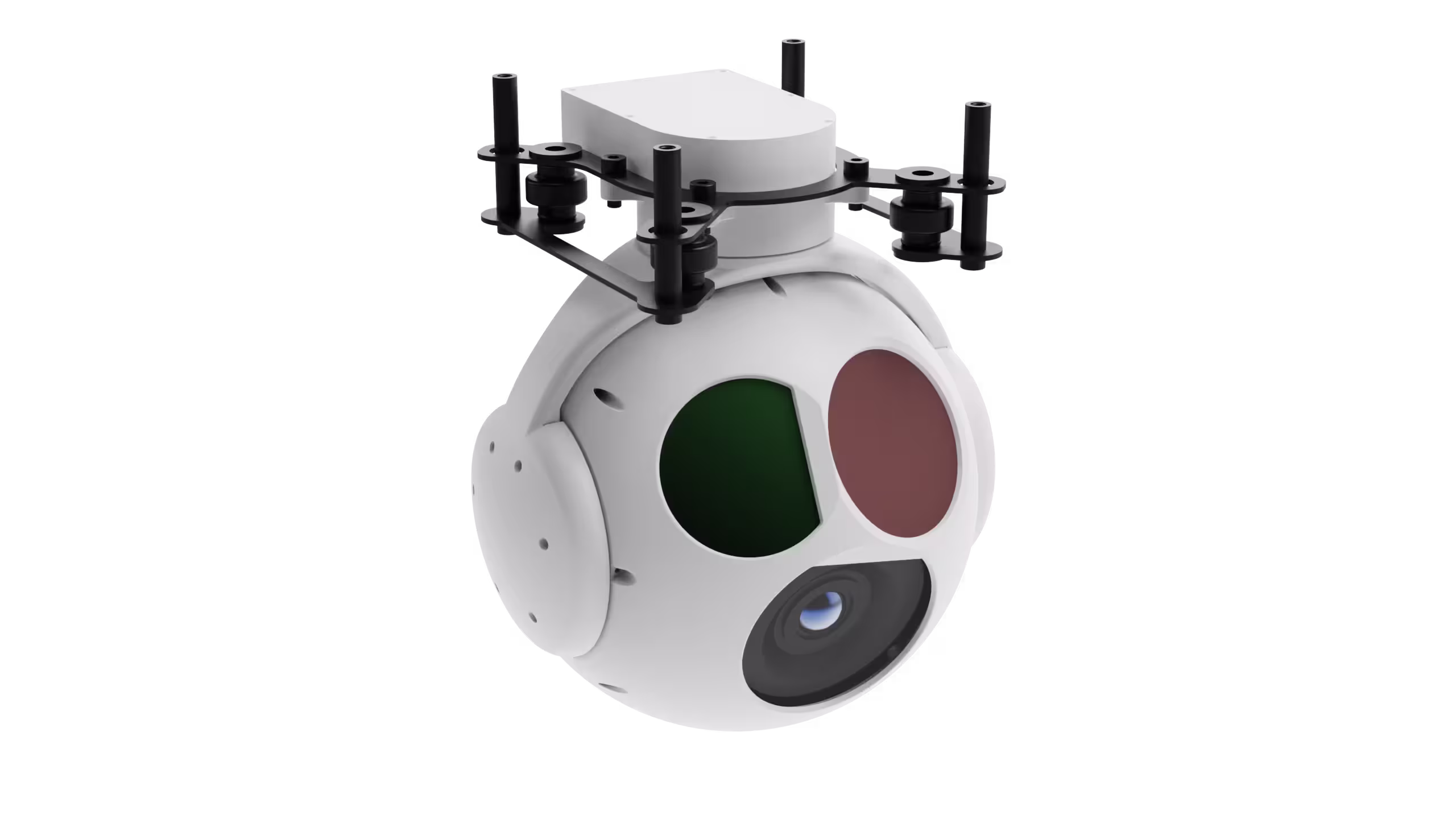
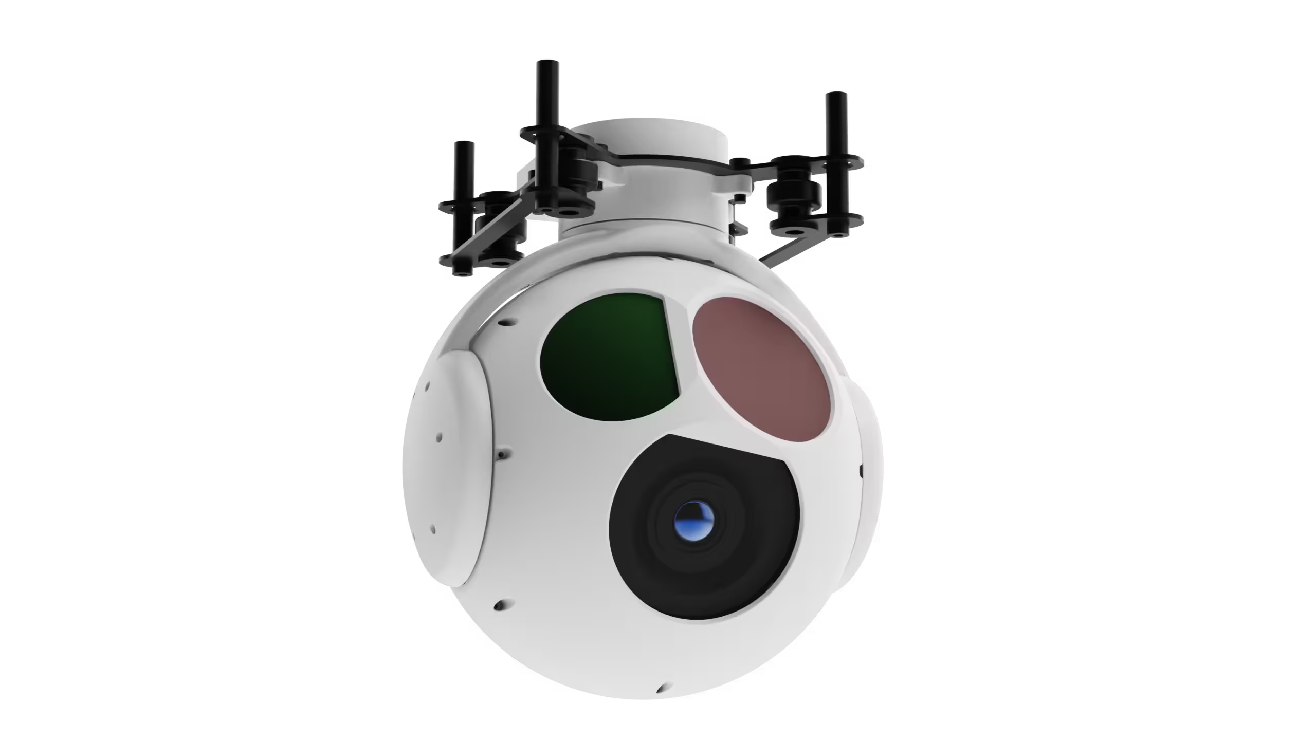
When every second counts—whether tracking suspects in low-light urban canyons or monitoring critical infrastructure—ZT30R_P transforms your VTOL UAV into an unblinking eye. Its 30x optical zoom visible camera cuts through haze to capture license plates or facial details from 1km+; the 640×512 infrared lens pierces darkness and foliage, revealing heat signatures of hidden individuals or vehicles; and the 3km laser rangefinder pins target coordinates with ±1m accuracy, even as your UAV banks or hovers in gusty winds. With dual-axis gyro stabilization (±0.01° jitter) and 360° continuous rotation, you’ll never miss a moment—day, night, or in smoke. For SWAT teams, border patrol, or city surveillance units: This isn’t just a payload. It’s tactical superiority.
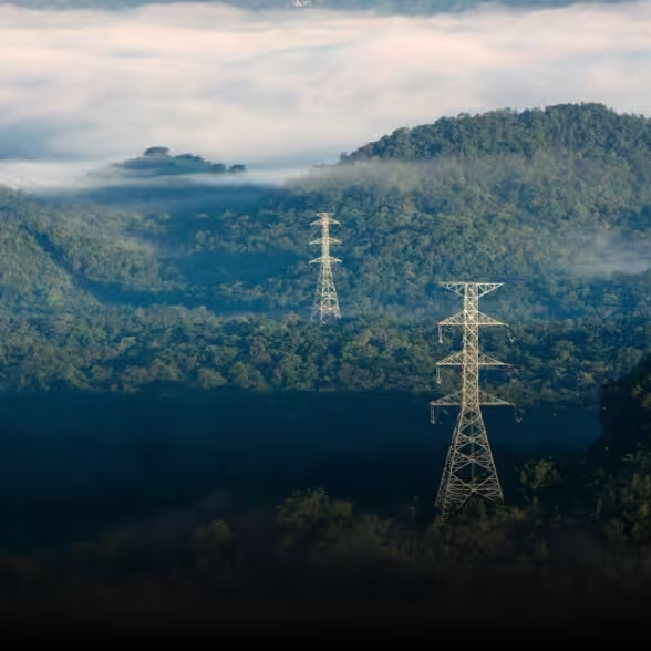
Industrial Inspectors: Scan Infrastructure, Detect Flaws, and Minimize Downtime
Power lines snaking through mountains. Oil refineries with miles of piping. Wind turbines towering above valleys. These are the battlefields of industrial inspectors—and ZT30R_P is your precision tool. The 35mm fixed-focus infrared lens spots overheating components or gas leaks invisible to the naked eye; the 30x zoom visible camera zooms in on hairline cracks in steel or corrosion on pylons, all while your VTOL UAV maintains a safe distance. Stable, high-resolution imaging (1080P visible, 640×512 IR) ensures no defect slips through—whether you’re inspecting power grids, petrochemical facilities, or telecom towers. Lightweight (1.2kg) and compact (140×152×188mm), it integrates seamlessly with your VTOL platform, turning hours of risky manual checks into a 20-minute autonomous flight.
Fire & Emergency Response: Navigate Chaos, Locate Survivors, and Outpace Disaster
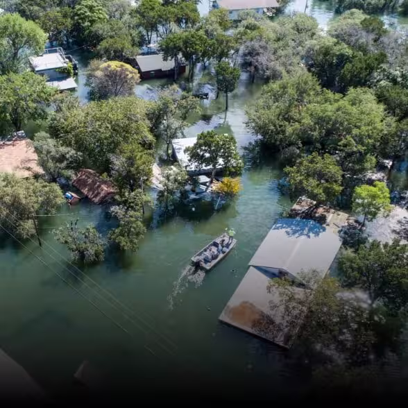
Wildfires rage. Buildings collapse. Floods trap victims. In crises, visibility is life. ZT30R_P cuts through smoke, darkness, and rain to deliver the intel that saves lives. The infrared sensor penetrates thick smoke to map hotspots or find survivors buried under debris; the visible zoom camera identifies safe entry points or stranded individuals from hundreds of meters away; and the laser rangefinder calculates distances to hazards, helping ground teams plan rescues. With rapid target locking and GPS-tagged imagery, you’ll relay critical data to command centers in real time—turning chaos into actionable strategy. For fire departments, search-and-rescue units, or disaster relief teams: This is your lifeline in the storm.
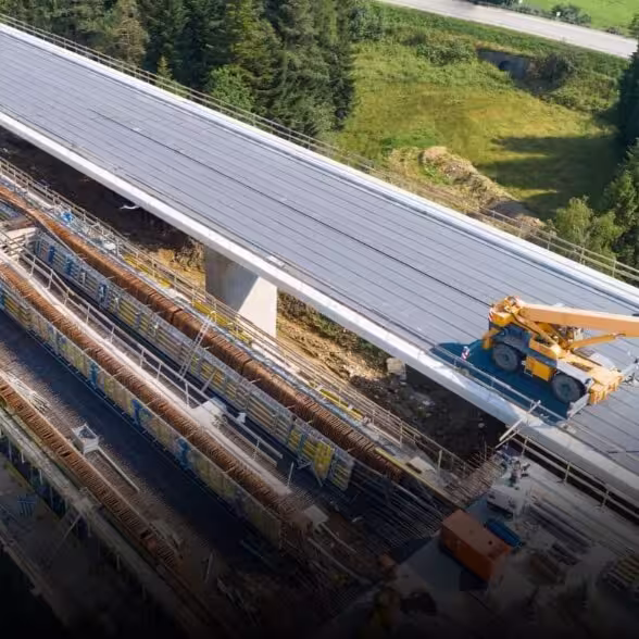
Aerial Mapping & Surveying Pros: Capture Detail, Cover Ground, and Redefine Accuracy
Whether mapping construction sites, surveying agricultural land, or documenting archaeological sites, ZT30R_P elevates your VTOL UAV from a “camera carrier” to a precision mapping tool. The 30x optical zoom lets you switch between wide-area overviews and ultra-detailed close-ups—no need to swap payloads. The stable imaging platform ensures blur-free shots even at high speeds, while the laser rangefinder adds depth data to 2D/3D models, making measurements (heights, distances, slopes) faster and more reliable than ever. From urban planners to environmental scientists: This payload doesn’t just capture images. It captures insights—turning flights into actionable data, and data into decisions.