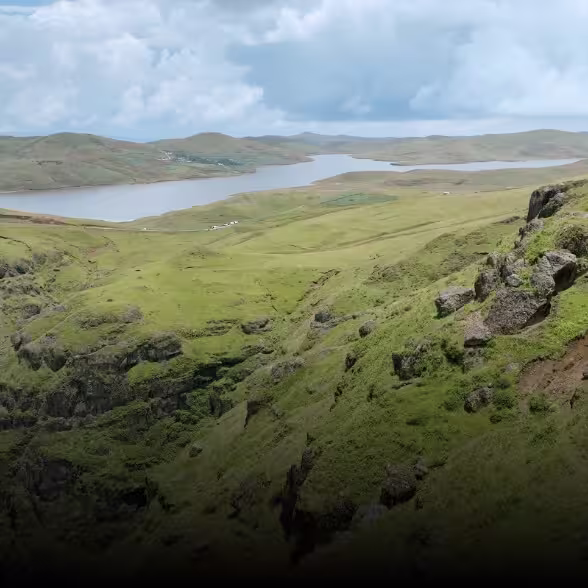
Surveying & Mapping Experts: Transform Large-Scale Projects with Unrivaled Detail
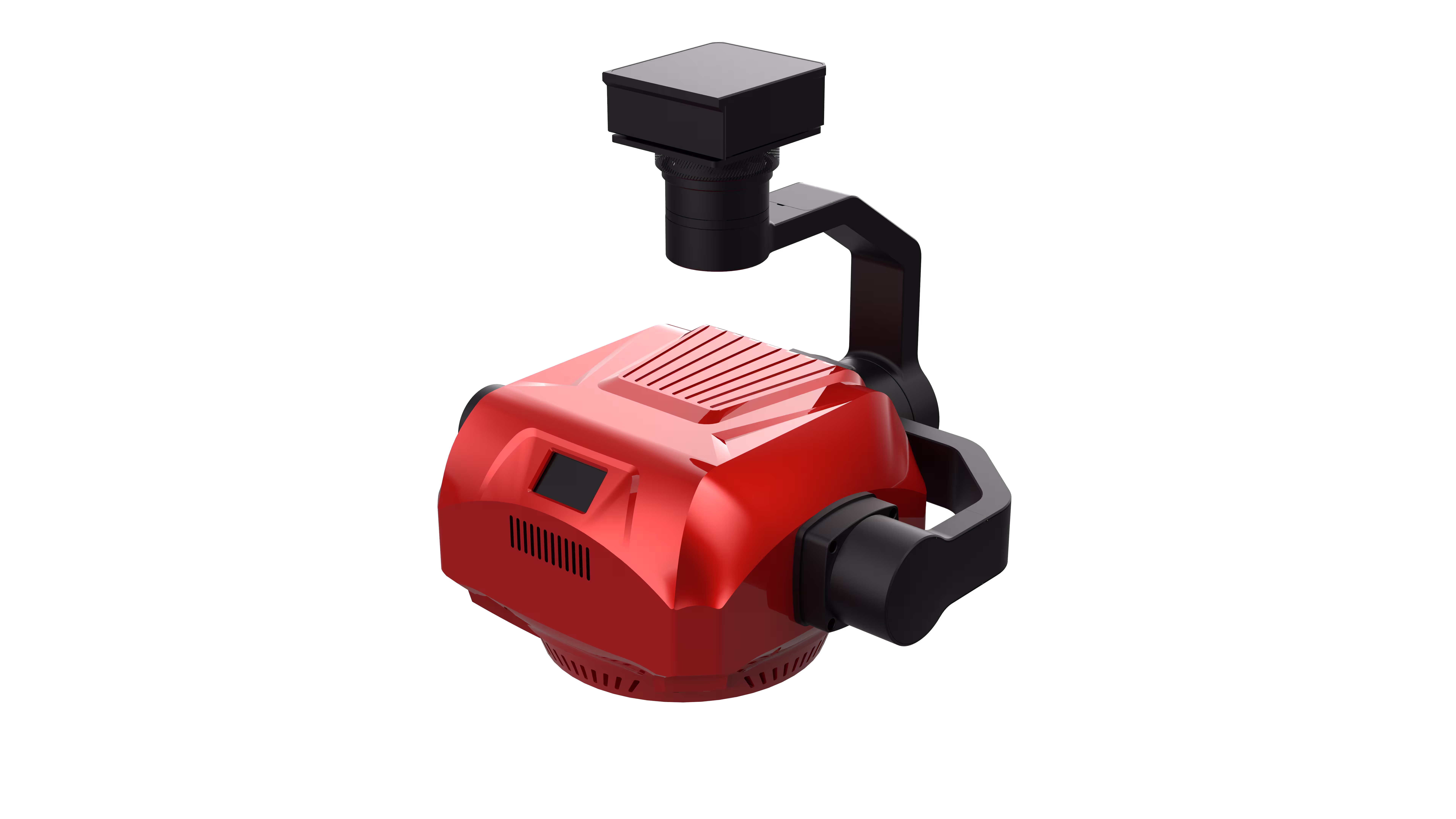
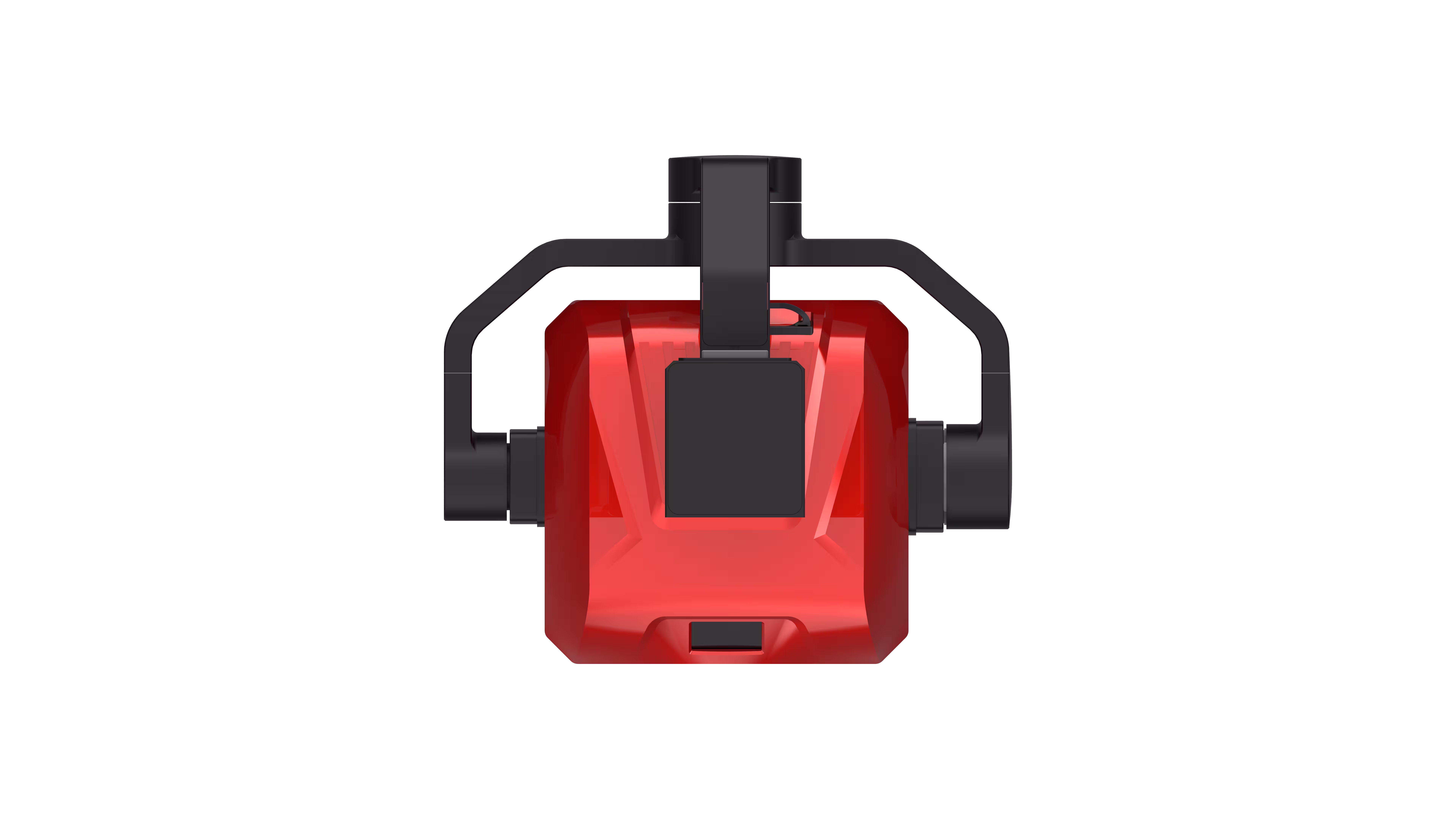
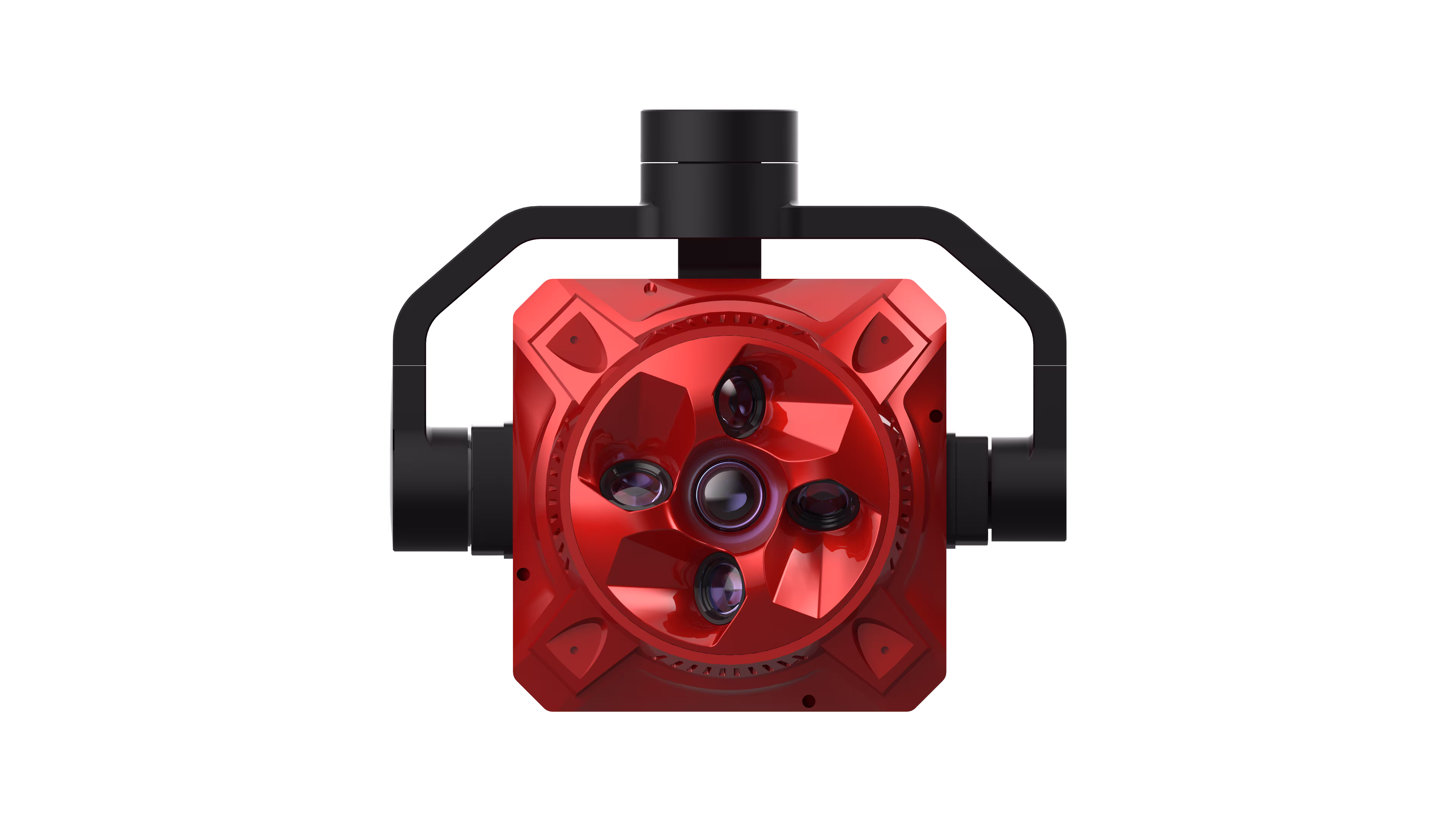
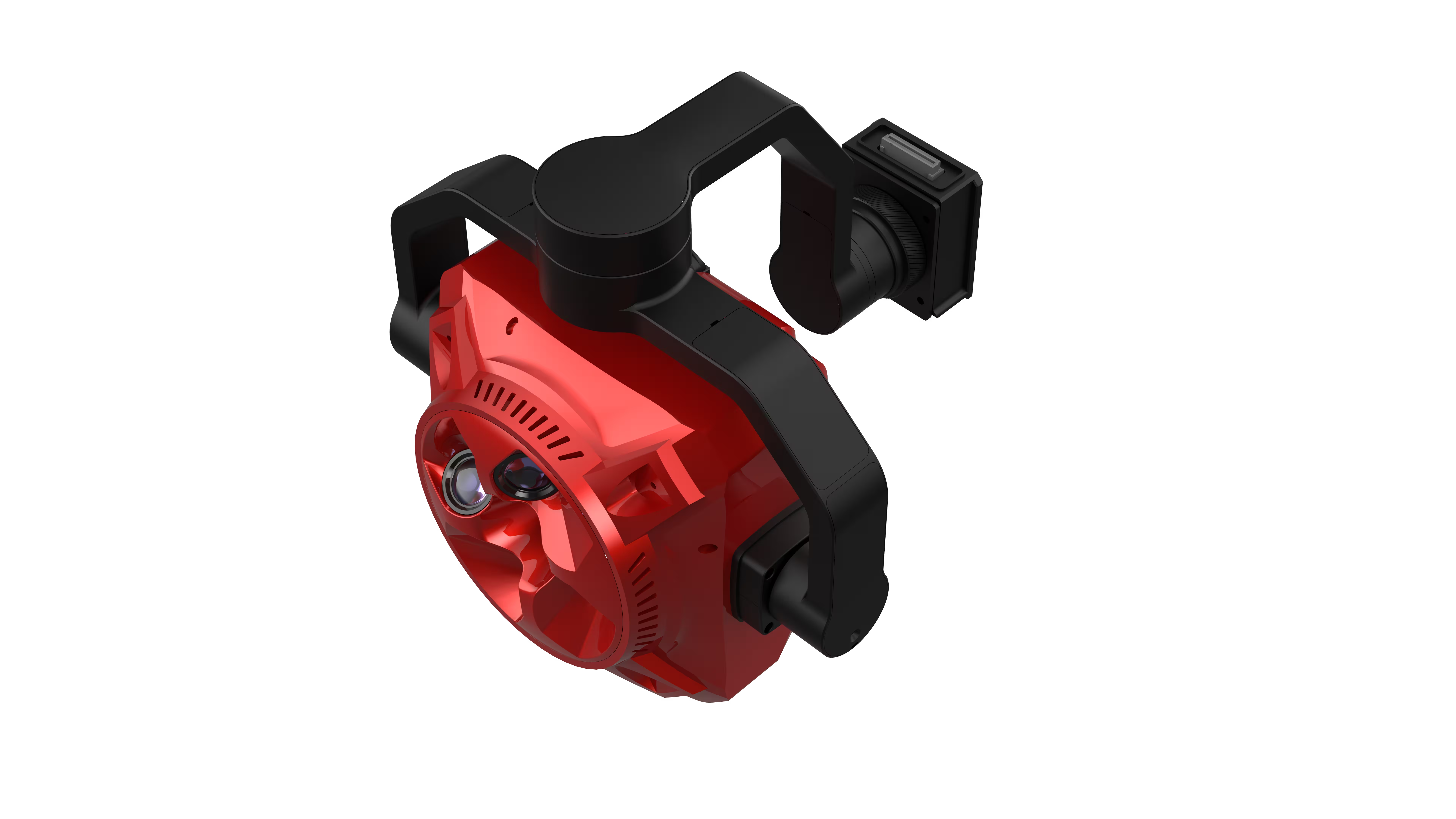
Picture this: You’re tasked with mapping a sprawling urban district or a rugged mountain range. Traditional single-lens cameras leave gaps—missed angles, blurred textures, hours of post-processing. Not with X4 Pro. Its five synchronized 45MP lenses (225MP total) capture vertical, forward, backward, left, and right oblique imagery in one flight, stitching together a 3D digital twin so lifelike, you can count windows on skyscrapers or trace every contour of a valley. Need speed? Its 600MB/s USB 3.1 data transfer (plus Gigabit Ethernet backup) turns 100GB of raw data into actionable maps in under 30 minutes—cutting project timelines by 50%. And with broad drone compatibility, it adapts to your fleet, not the other way around. Whether you’re creating 1:500 topographic maps, cadastral surveys, or digital city models, this is the tool that turns “good enough” into “perfection.”
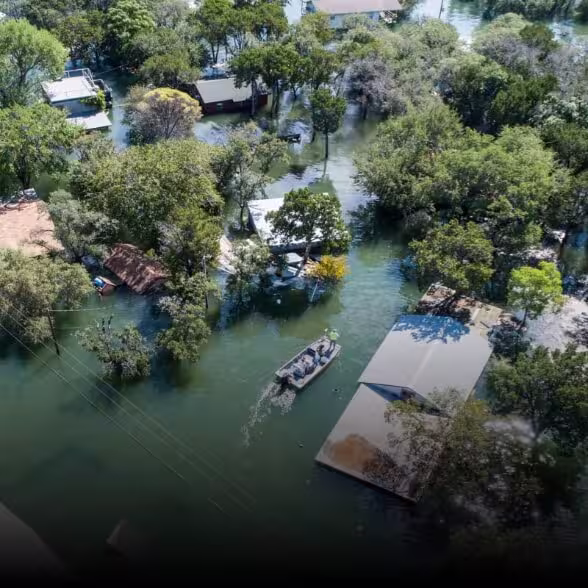
Emergency Response & Infrastructure Inspectors: See Crises Clearly, Act Faster
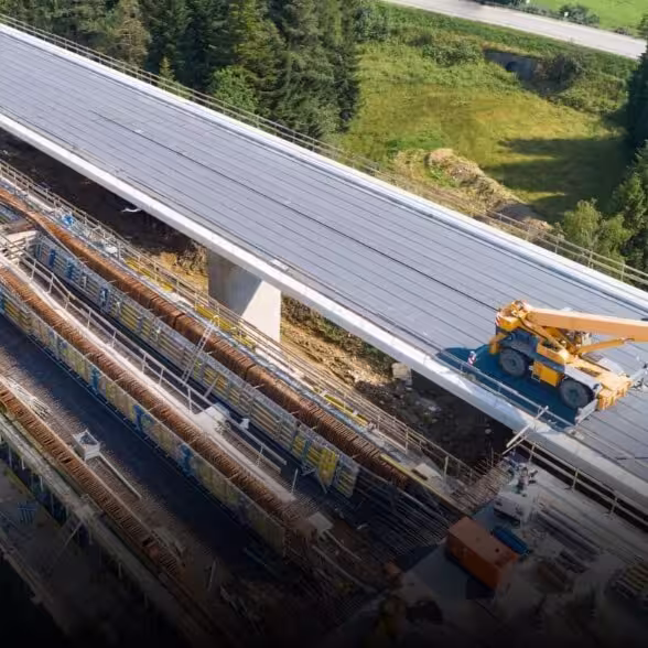
When disaster strikes—a wildfire raging, a bridge collapsing, a flood submerging streets—seconds save lives. X4 Pro doesn’t just capture data; it delivers intelligence in real time. Pair it with ground modeling software, and its “fly-while-process” capability generates 3D terrain maps as you fly, letting command centers spot trapped survivors, assess structural damage, or reroute rescue teams with pinpoint accuracy. Tough conditions? No problem. Its CNC-machined aluminum alloy body (900g, IP5X-rated) laughs at dust, rain, and temperatures from -20°C to 60°C. For infrastructure pros? Zoom in on 2mm ultra-fine details (thanks to a 3-axis stabilized gimbal) to inspect bridge cracks, power line corrosion, or pipeline leaks—no risky manual climbs, no guesswork. This isn’t just a camera; it’s your frontline in crisis.
Agriculture & Environmental Guardians: Farm Smarter, Protect Harder
A farmer needs to spot stressed crops before they fail. A conservationist tracks deforestation in real time. X4 Pro makes the invisible visible. Its full-frame sensors (36mm×24mm) capture NDVI, soil moisture, and vegetation health with lab-level precision—so you can map 1,000 acres of farmland and identify a single yellowing wheat stalk. Auto-trigger modes (distance/time-based) ensure uniform coverage, while wireless parameter control lets you adjust ISO, shutter speed, or white balance mid-flight—no landing to tweak settings. Ecologists monitor coral reef bleaching; foresters count trees; ranchers track livestock. With X4 Pro, you don’t just observe the land—you protect it, optimize it, and future-proof it.