A Full-Scenario Solution Empowering Life-Saving Operations with Advanced Technology
Introduction: Tackling the “Time-Space-Environment” Challenge in Emergency Response
Emergency response and night search-and-rescue missions rank among the most challenging tasks in public safety. Disaster scenes are often compounded by smoke, darkness, and complex terrains—from collapsed buildings and forests to water bodies—while traditional ground-based methods face limited visibility, slow mobility, and communication disruptions. These factors can severely impact the “golden rescue window” (internationally recognized as 72 hours).
According to global emergency management data, nighttime rescue success rates are 40% lower than daytime, and over 60% of casualties in fires or earthquakes result from delayed victim location.
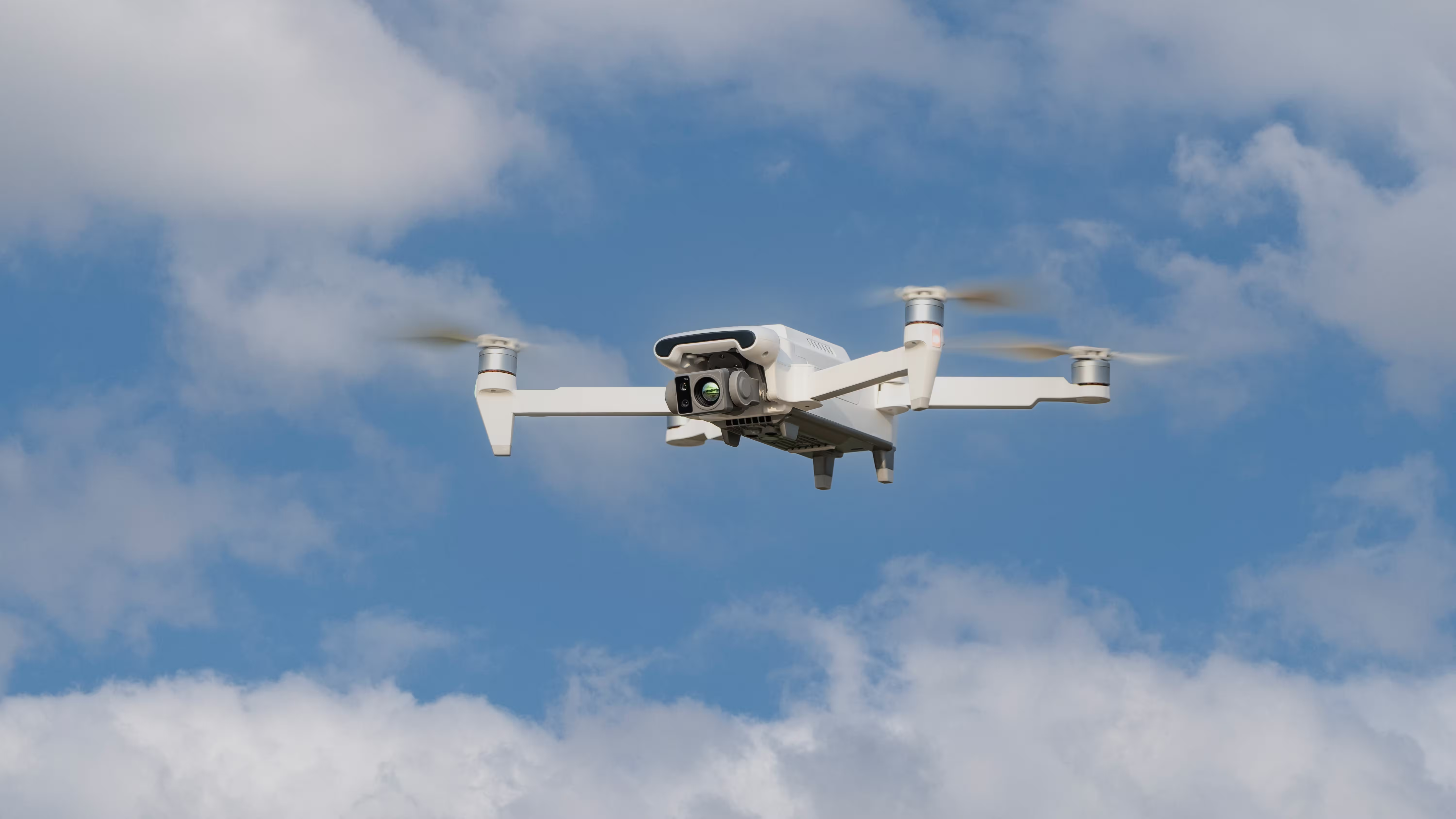
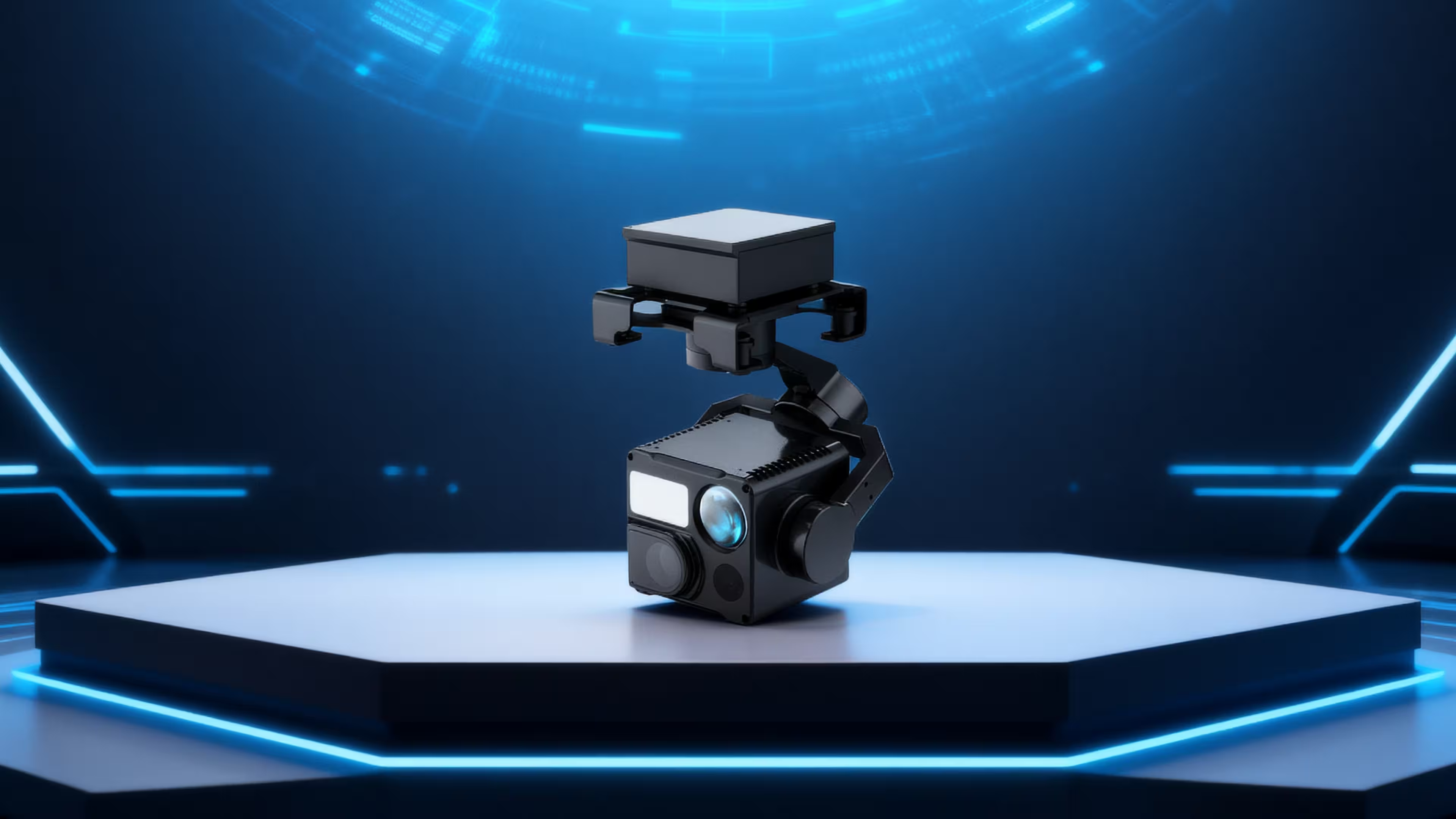
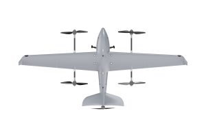
The MMC X8 Thermal Series (X8T Industry & Defense Editions) addresses these challenges with infrared thermal imaging, long-range endurance, wind resistance, extended-range digital transmission, and GPS-independent autonomous flight, creating an all-weather, all-terrain, all-time aerial rescue system. X8T redefines rescue efficiency, acting as both a “life-detection radar” and a “thousand-mile eye” for first responders.
This article highlights X8T’s technological breakthroughs, scenario adaptability, and operational value, demonstrating how it solves critical rescue challenges.

1. Technical Foundation: Four Core Advantages for Rescue Operations
The X8T series is optimized for extreme conditions across four dimensions: sensors, flight performance, communication links, and environmental adaptability, ensuring reliable operation and precise information capture in challenging scenarios.
1.1 640×480 Infrared Thermal Camera: Life Detection Through Obstacles
- Thermal imaging penetration: Detects trapped individuals behind smoke, debris, or foliage.
- High-resolution aerial view: Identifies heat sources and environmental hazards for accurate decision-making.
1.2 GPS-Independent Autonomous Flight & Return: Navigation in Complex Terrains
In collapsed structures, urban canyons, or indoor environments with weak or blocked GPS signals, traditional drones often lose positioning or crash. The X8T Defense Edition overcomes this with a multi-sensor fusion system (downward vision + optical flow + inertial navigation), providing autonomous survival without satellite signals.
Key mechanisms include:
- Downward Vision Positioning: Monocular optical flow with TOF ranging (0.3–6m) detects ground textures (rubble surfaces, indoor tiles) to maintain ±0.1m vertical and ±0.3m horizontal hover accuracy. For example, X8T can hover in a 2–3m-wide “rubble canyon” and scan trapped victims without collision.
- GPS-Independent Return: When entering GPS-denied zones (tunnels, underground garages) or signal-interference areas, X8T records flight data and automatically returns along the same trajectory, resuming normal operation once GPS is reacquired.
- Indoor Omnidirectional Obstacle Avoidance: Equipped with downward LEDs and a 3-axis gimbal (-90°~30° pitch), X8T stabilizes flight in dark environments and scans ceilings, floors, and walls to locate victims beneath debris.

2. Scenario-Based Rescue Solutions: From Collapsed Buildings to Remote Forests
X8T’s technological advantages are fully integrated with flight performance and communications to meet diverse rescue scenarios. Key applications include:
2.1 High-Rise Fire Rescue: Life Detection Through Dense Smoke
Fire scenes pose extreme hazards due to smoke and high temperatures. Traditional infrared devices are limited by ground perspective, but X8T’s 640×480 thermal camera (8–14μm) provides aerial scanning through up to 50 meters of smoke, paired with 47-minute flight endurance for complete building coverage.
Operational Example:
- Within 5 minutes of deployment at a high-rise fire, X8T identified a heat signature on the 12th floor (36.5°C) indicating trapped individuals, while marking the 3rd floor as a fire core (>300°C).
- 20 km digital transmission relayed thermal and visible-light footage to command centers, guiding firefighters to prioritize rescue routes and monitor structural risks.
- Night operations are sustained via drone rotation, ensuring continuous monitoring during prolonged firefighting.
2.2 Earthquake Rubble Rescue: Precision in GPS-Denied Environments
Collapsed structures are GPS “black holes,” where X8T Defense Edition excels:
- Rubble penetration: Enters 1.5m-diameter gaps, avoids obstacles using TOF sensors, and locates victims with ±0.5m precision.
- Structural monitoring: Detects temperature changes in supporting beams, issuing real-time warnings for secondary collapse.
- Extended coverage: 47-minute flight scans 1,000 m² per sortie, improving efficiency 20× over ground teams.
2.3 Nighttime Forest Rescue: Thermal Imaging & Wind Resistance
Night forest searches face darkness, complex terrain, and weak signals. X8T Industry Edition combines thermal imaging, long endurance, and 12 m/s wind resistance for aerial “carpet search.”
Case Study:
- Lost hiker located within 30 minutes instead of 8 hours using a 50m thermal radius and 30× zoom.
- Stable flight under 5-level winds and IP54-rated rain resistance ensured safe, uninterrupted operation.
- Coordinates relayed to ground teams via 20 km digital link for precise navigation.
2.4 Nighttime Water Rescue: Thermal Detection & Payload Delivery
Water rescues require detecting targets at night and delivering aid:
- Heat contrast detection: Body temperature vs. water temperature highlights victims.
- Payload delivery: 350g emergency packages, life rings, or GPS beacons accurately dropped (±1.5m).
- Large-area patrol: 47-minute flight supports 20 km² coverage with AI-assisted thermal target classification.
3. Operational Value: From Technical Specs to Life-Saving Efficiency
X8T redefines rescue operations by shortening response time, reducing risks, and enabling integrated command.
- Accelerated “Golden Hour” Response: Aerial thermal scanning reduces victim location time by over 80%.
- Enhanced Rescuer Safety: X8T acts as a “robotic scout,” entering high-risk zones before humans.
- Integrated Air-Ground Command: 20 km transmission and multi-sensor fusion break information silos, supporting coordinated, data-driven decision-making across agencies.
4. Future Outlook: AI-Enabled & Multi-Drone Collaborative Rescu
Next-generation X8T will incorporate:
- AI target recognition: Automatically distinguishing survivors, casualties, or animals.
- Swarm coordination: 10+ drones performing simultaneous searches.
- Extended endurance: Hybrid power systems for >2-hour flight.
This enables intelligent, large-scale, and unmanned rescue operations, extending coverage to 50 km²/hour and ensuring the “golden rescue time” is never lost.
Conclusion: X8T – Racing Against Time, Powered by Technology
Emergency response is a race against time. The X8T series combines infrared vision (“eyes”), endurance & wind resistance (“wings”), GPS-independent autonomous navigation (“brain”), and long-range transmission (“lifeline”) to form an all-weather, all-terrain aerial rescue platform.
From urban fires and forest disappearances to earthquake rubble and water emergencies, every X8T deployment transforms into a beacon of hope, leveraging technology to save lives. As drone technology continues to integrate with emergency management systems, X8T will remain the frontline aerial rescuer, delivering safer, faster, and smarter life-saving capabilities.

Comments