Have you ever wondered how a self-driving car stays perfectly in its lane, how a surveyor maps land with pinpoint accuracy, or how a drone sprays fertilizer on crops without missing a spot? The answer often lies in a powerful positioning technology called RTK-GNSS.
This article breaks down what RTK-GNSS is, how it works, and why it’s revolutionizing fields that require extreme precision.
What is RTK-GNSS? In a Nutshell
RTK-GNSS is a high-precision positioning technique that uses real-time data from two GNSS receivers to eliminate common errors, achieving centimeter-level accuracy.
First, let’s clarify the terms:
- GNSS (Global Navigation Satellite System): This is the umbrella term for all satellite constellations that provide positioning. This includes:
- GPS (United States)
- BDS/BeiDou (China)
- GLONASS (Russia)
- Galileo (European Union)
- RTK (Real-Time Kinematic): This is the specific method used to drastically improve the accuracy of GN signals.
| Feature | Standard GNSS (e.g., phone, car navigation) | RTK-GNSS |
|---|---|---|
| Accuracy | Meter-level (1-10 meters) | Centimeter-level (1-3 centimeters) |
| Principle | Calculates position using signals from satellites alone. Prone to large errors. | Uses a fixed base station to calculate errors and send corrections to a rover. |
| Cost | Low (integrated into consumer devices) | High (requires specialized equipment) |
| Applications | Navigation, ride-hailing, location tagging | Surveying, drone navigation, autonomous driving, precision agriculture |
Why is Standard GNSS Not Accurate Enough?
The signals from satellites travel over 20,000 km to reach your receiver. Along the way, they encounter several sources of error that degrade accuracy to several meters:
- Satellite Clock Drift: Tiny imperfections in the satellites’ atomic clocks.
- Orbital Errors: Slight discrepancies in the known position of the satellites.
- Atmospheric Delays: The ionosphere and tropospase bend and slow down the signals.
- Multipath Effects: Signals bounce off buildings or the ground before reaching the receiver.
Crucially, for two receivers that are close together (e.g., within 20-30 km), these errors are almost identical. This is the fundamental principle that RTK exploits.
How Does RTK Achieve Centimeter Accuracy?
RTK works by using two receivers that talk to each other to cancel out these common errors.
The Base Station
- This is a GNSS receiver set up on a precisely known location (e.g., a survey marker).
- Because it knows its exact position, it can calculate the total error in the satellite signals it receives (the difference between its known location and the location calculated from the satellites).
- It then broadcasts this “error correction” data to nearby receivers via a radio link or cellular network (4G/5G).
The Rover
- This is the receiver you want to get a precise location for (e.g., on a drone or tractor).
- It receives both the standard satellite signals and the correction data from the base station.
- By applying these corrections to its own calculations, the rover can eliminate virtually all the common errors, allowing it to compute its position relative to the base station with centimeter accuracy.
A Simple Analogy:
Imagine two people standing in a field in a rainstorm.
- Standard GNSS is like one person guessing the wind direction by feeling the rain on their face. Their guess might be off by many degrees.
- RTK is like one person (the base station) using a precise weather vane to measure the exact wind direction. They shout this correction to the second person (the rover). The second person can then also know the exact wind direction by applying this correction to what they feel.
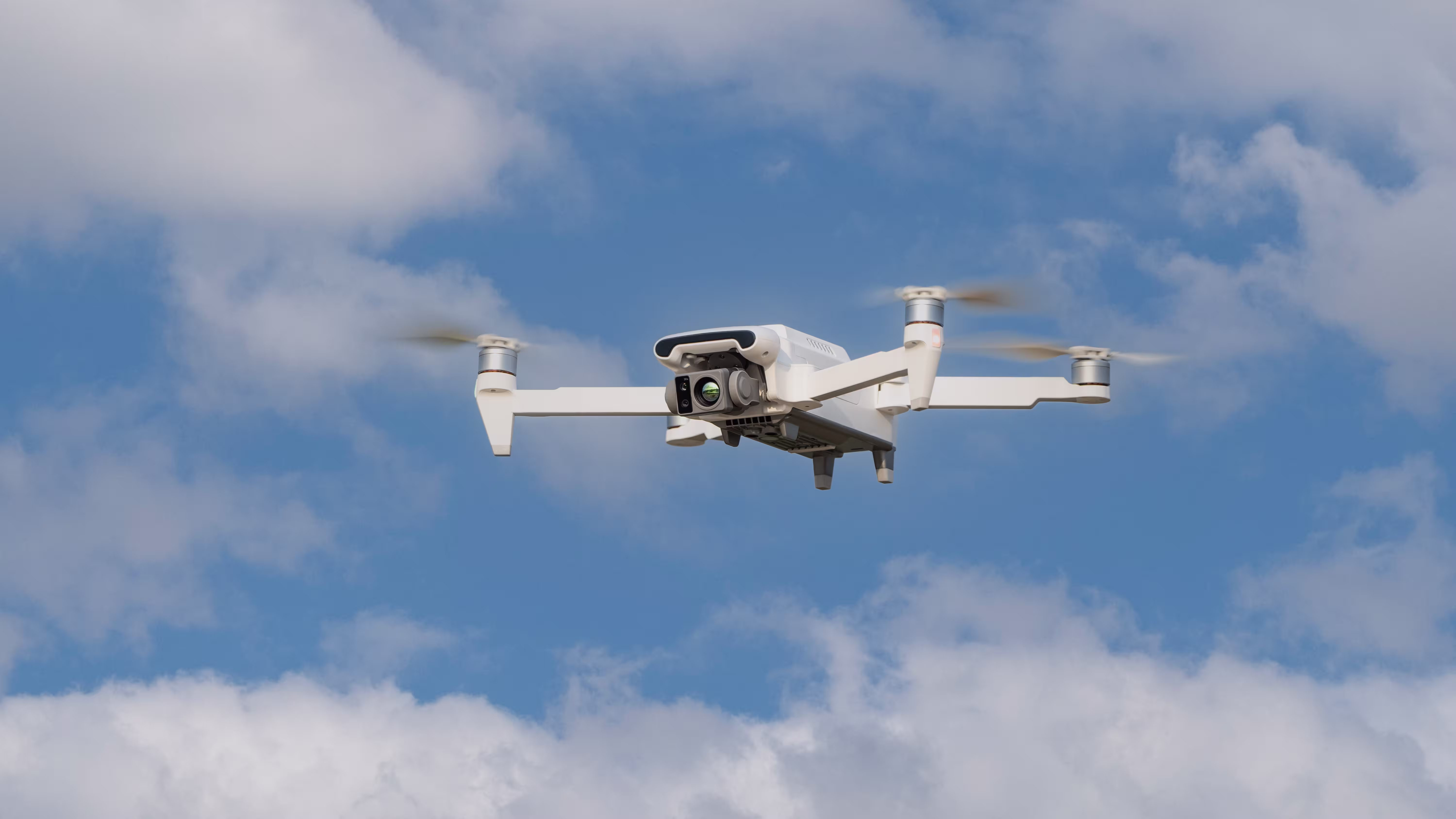
Expanded Application: The Revolution in Unmanned Aerial Vehicles (UAVs/Drones)
The integration of RTK-GNSS has been a game-changer for the drone industry, enabling a new level of automated precision that was previously impossible.

How Drones Use RTK:
An RTK drone is equipped with an RTK rover module. It connects to a ground-based base station or a network of correction services (e.g., CORS networks). This setup creates a highly reliable positioning system for the aircraft.
Key UAV Applications:
Precision Agriculture:
- Automated Crop Spraying & Seeding: RTK allows drones to fly consistent, pre-programmed paths with centimeter repeatability. This ensures complete field coverage without gaps or overlaps, drastically reducing chemical and seed waste (by up to 30%) and protecting soil health.
- Field Mapping & Surveying: Drones with RTK can create highly accurate orthomosaic maps and 3D models of fields without the need for ground control points (GCPs), speeding up the process and providing data to monitor crop health, drainage, and yield prediction.
Surveying, Mapping, and Photogrammetry:
- Elimination of Ground Control Points (GCPs): Traditional aerial mapping requires surveyors to place physical markers (GCPs) on the ground, which is time-consuming and labor-intensive. RTK-equipped drones know their camera’s exact location in space at the moment each photo is taken, eliminating or drastically reducing the need for GCPs. This cuts project time from days to hours.
- High-Accuracy Data Collection: This is essential for creating accurate topographic maps, volume measurements for stockpiles (e.g., in mining and quarries), and infrastructure planning.
Infrastructure Inspection:
- Drones can autonomously inspect critical infrastructure like power lines, wind turbine blades, bridges, and cell towers. RTK enables two crucial capabilities:
- Precision Hovering: Holding a steady position just meters from a structure even in windy conditions, ensuring clear, safe imagery.
- Repeatable Flights: Flying the exact same path on every mission to perfectly compare images over time and identify subtle changes or defects.
Construction:
- Drones are used for automated site surveying, tracking earthwork progress, verifying that structures are built to their exact design specifications, and monitoring stockpile volumes, all thanks to the centimeter-accurate data provided by RTK.
Advantages and Challenges of RTK
Advantages:
- Unmatched Accuracy: Provides real-time, centimeter-level precision.
- Real-Time Results: No post-processing is needed; data is immediately actionable.
- Increased Reliability: Using multiple GNSS constellations (GPS, Galileo, etc.) improves performance in challenging environments like urban canyons.
Challenges:
- Higher Cost: Professional-grade RTK systems are significantly more expensive than consumer GNSS receivers.
- Data Link Dependency: Requires a continuous, stable communication link between the base and rover. A lost signal can interrupt high-precision positioning.
- Distance Limitation: Accuracy degrades as the rover moves farther from the base station (typically beyond 30-50 km) because the atmospheric errors become less correlated.
Conclusion
RTK-GNSS is a transformative technology that turns the imprecise, meter-scale location data from standard GNSS into a tool for pinpoint accuracy. By understanding and canceling out common errors, it powers advancements in everything from agriculture and construction to the autonomous machines of the future. As the technology becomes more accessible and networks of correction services expand, we can expect RTK to become the backbone of an increasingly precise and automated world.

Comments