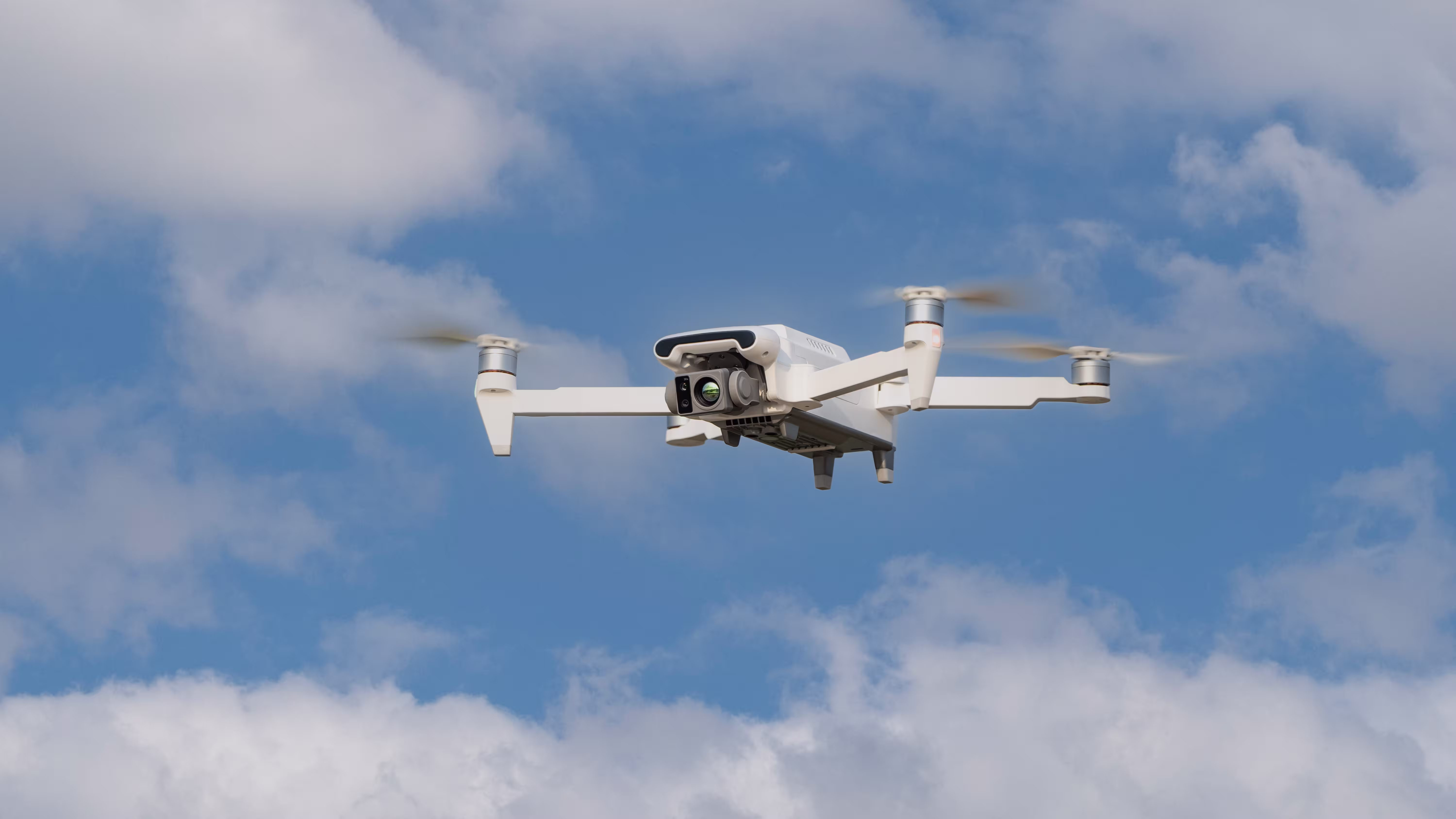
What is a Thermal Imaging Camera Drone?
A thermal imaging camera drone is an unmanned aerial vehicle equipped with a specialized infrared sensor that detects heat signatures instead of visible light. These drones visualize temperature differences in real time, making them essential for operations in darkness, obscured environments, or where temperature data is critical.
They are widely used in firefighting, electrical inspection, search and rescue, agriculture, and industrial maintenance—delivering actionable insights from above without endangering personnel.
How Do Thermal Imaging Drones Work?
Thermal cameras operate in the long-wave infrared spectrum (typically 8–14 µm), picking up infrared radiation emitted by all objects based on their temperature. Warmer areas emit more radiation, which is then translated into visual images—often color-coded based on temperature ranges.
When mounted on a drone, these sensors offer large-area thermal mapping, high-angle perspectives, and rapid response capabilities that ground-based tools cannot match.
Why Use a Drone with Thermal Imaging?
- Non-contact temperature assessment across hazardous or inaccessible areas
- Rapid data collection for large-scale inspections
- Safe situational awareness in dangerous or obscured environments (e.g., smoke, fog, night)
- Precision detection of thermal anomalies that indicate mechanical faults, water damage, or living targets
Common Applications of Thermal Imaging Camera Drones
1. Firefighting and Disaster Response
Thermal drones help responders locate hidden hotspots in wildfires or burning buildings, assess danger zones, and search for victims through smoke or rubble.
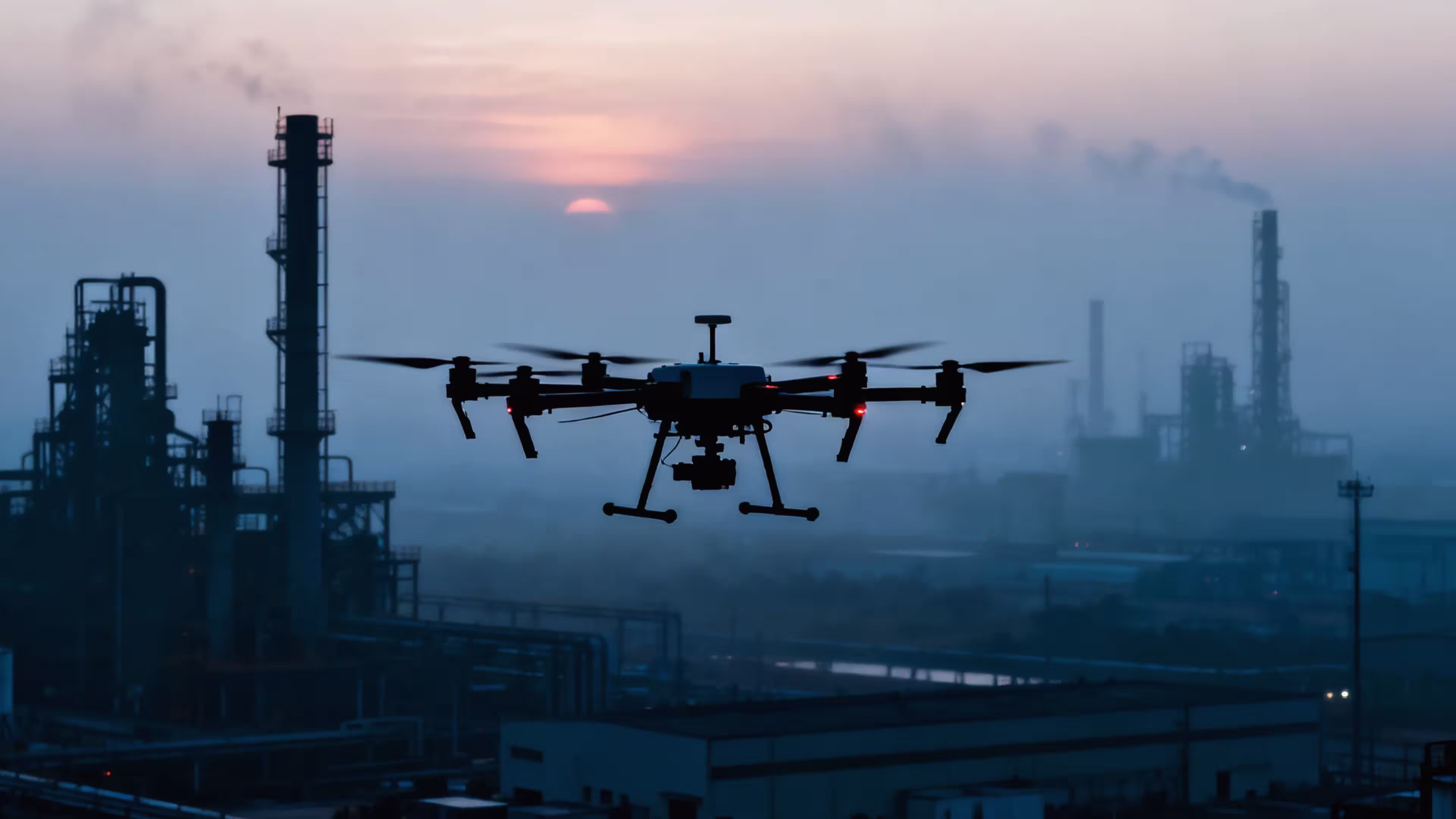
2. Infrastructure & Utilities Inspection
Power lines, substations, pipelines, and HVAC systems can be scanned remotely to identify overheating parts, loose connections, or fluid leaks—preventing costly failures and improving safety.
3. Roof and Building Diagnostics
Thermal drones are effective for inspecting flat roofs, detecting insulation failures, moisture ingress, or energy loss without needing scaffolding or manual access.
4. Search and Rescue Missions
At night or in remote terrains, thermal imaging helps locate lost individuals, detect vehicles, or monitor heat footprints, significantly increasing rescue success rates.
5. Solar Panel Inspection
Thermal drones can quickly identify defective photovoltaic cells or panels that may be underperforming, reducing manual labor and maximizing solar energy output.
6. Precision Agriculture
Thermal sensors help monitor crop stress, irrigation efficiency, and livestock health by identifying temperature anomalies invisible to the naked eye.
MMC X8T: High-Performance Thermal Imaging Camera Drone
If you’re seeking a reliable, industrial-grade solution, the MMC X8T offers advanced capabilities tailored to professional thermal operations. Key features include:
- High-resolution thermal sensor: 640×480 thermal camera with radiometric data
- Dual-camera system: 4K visible light + thermal imaging on a stabilized gimbal
- Autonomous flight modes: Grid scan, waypoint patrol, terrain follow, and more
- Durable airframe: Industrial design with excellent wind resistance
- Modular payload: Support for custom sensors and accessories
Explore the MMC X8T for Thermal Imaging Missions →
Key Factors When Choosing a Thermal Imaging Drone
Sensor Resolution
Higher resolution (e.g., 640×512) provides clearer, more detailed images—critical for inspections. Lower resolutions (e.g., 160×120) are more budget-friendly but less precise.
Radiometric Capability
Drones with radiometric cameras can record exact temperatures for each pixel, enabling detailed post-flight analysis and reporting.
Flight Time and Range
Professional drones like the MMC X8T offer 30+ minutes of flight per battery and can cover large distances with stable transmission and GPS precision.
Integration with Software
Choose drones compatible with thermal analysis platforms like FLIR Tools, Pix4D, or DJI Thermal Analysis Tool for data visualization and reporting.
FAQs
Q: How is a thermal imaging drone different from a standard drone?
A: Standard drones rely on visual (RGB) cameras, which require light. Thermal drones “see” heat and can operate in total darkness, smoke, or obscured environments.
Q: Are thermal imaging drones difficult to fly?
A: Most thermal drones are no more complex to fly than standard drones. Many come with autopilot functions, smart return-to-home, and obstacle avoidance systems.
Q: What industries use thermal imaging drones the most?
A: Utilities, public safety, energy, construction, agriculture, and defense are among the top users. Anywhere heat detection is valuable, thermal drones are useful.
Q: Can I upgrade a regular drone with a thermal camera?
A: Some drones support swappable payloads, but thermal cameras require stable power, integration, and data transmission support. It’s usually better to buy a purpose-built thermal drone like the MMC X8T.
SEO Variants and Related Searches
- Drone with heat camera
- Infrared camera drone
- Drone thermal imaging
- Drone with IR sensor
- UAV thermal camera
Related Articles
Conclusion
With a thermal imaging camera drone, you gain a powerful aerial tool to detect and analyze heat patterns across vast or hazardous environments. Whether you’re inspecting power lines, searching for survivors, or optimizing energy efficiency, thermal imaging drones provide fast, safe, and reliable data collection from above.
Looking for a dependable solution? The MMC X8T delivers professional-grade thermal imaging in a robust, mission-ready platform.
Comments