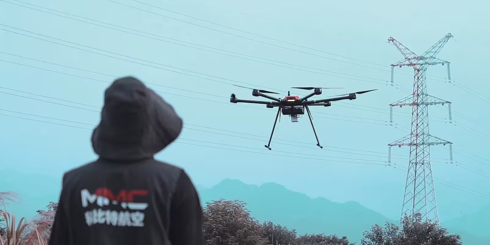
Drones are transforming river patrol operations, enabling environmental agencies to monitor water quality, detect illegal activities, and assess ecological changes with unprecedented efficiency. Used for tasks like identifying pollution, mapping riverbanks, and supporting emergency response, unmanned aerial vehicles (UAVs) must meet specific performance and payload requirements to navigate the challenging conditions of rivers and wetlands. Drawing from standards like China’s Ministry of Water Resources guidelines and real-world applications in regions like the Yellow and Pearl Rivers, this article explores the key capabilities drones need for effective river patrol.
Why Drones for River Patrol?
River systems are dynamic, spanning vast distances and often featuring complex terrains like wetlands or mountainous valleys. Traditional patrols rely on boats or ground teams, which are slow, labor-intensive, and limited in scope. Drones offer:
- Extensive Coverage: Survey long river stretches quickly.
- Real-Time Monitoring: Detect pollution or illegal activities instantly.
- Safety: Reduce risks to personnel in hazardous areas.
- Versatility: Support water quality analysis, flood monitoring, and emergency response.
To succeed, drones must combine robust flight performance with specialized payloads for detection, mapping, and emergency tasks. Below are the essential requirements and capabilities.
1. Resilience in Wetland Environments
River environments are humid, muddy, and prone to rain or fog, requiring drones with:
- Water and Corrosion Resistance: IP45-IP54 rating to withstand splashes, mist, and mud. Corrosion-resistant materials like aluminum alloy or composites endure wet conditions.
- Wind Resistance: Operation in winds up to Level 5-6 (10-20 m/s or 22-45 mph) for stability in river valley gusts.
- Temperature Tolerance: Functioning from -10°C to 50°C to handle diverse climates, from cold riverbanks to warm flood seasons.
Drones used in the Pearl River, for example, operate reliably in rainy, humid conditions to monitor floods and debris.
2. Long-Range and High-Endurance Flight
River patrols often cover long stretches, such as 100 km of riverbank, requiring:
- Flight Endurance: 4-8 hours to survey large areas without frequent recharging.
- Range and Altitude: 50-150 km range and altitudes up to 500 m (with ±5 cm vertical accuracy) for comprehensive coverage. Payload capacity of 2-4 kg supports advanced sensors.
- Speed: Maximum speeds of 16-30 m/s (36-67 mph) and ascent speeds around 10 m/s for rapid response to incidents like illegal dumping.
- Autonomous Flight: Beyond Visual Line of Sight (BVLOS) with electronic fences to avoid obstacles like bridges, plus automatic return-to-home for safety.
These capabilities enable drones to patrol extensive river systems, as seen in Yellow River flood monitoring operations.
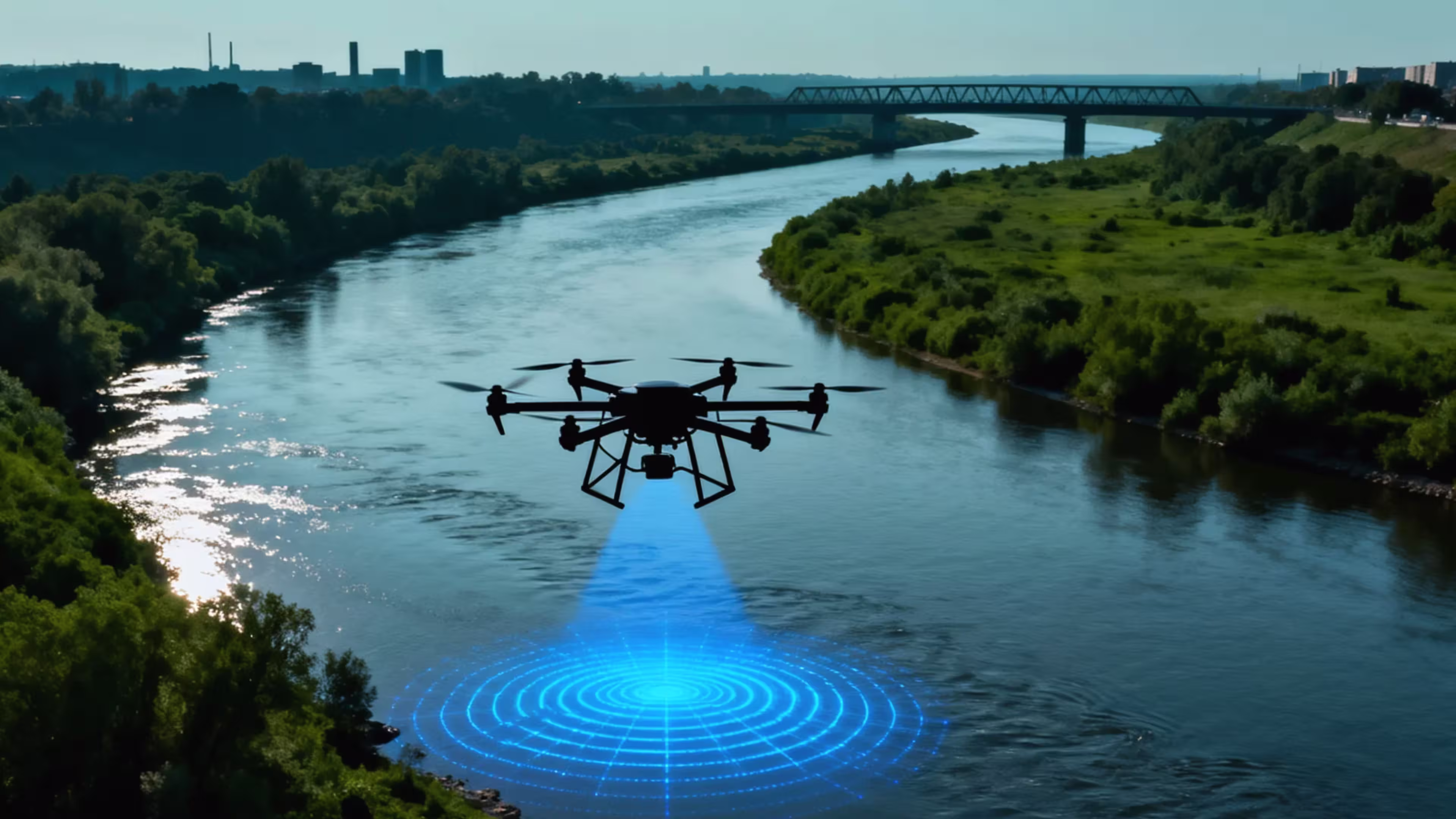
3. Advanced Sensors and Payloads for Detection
River patrol requires diverse payloads to monitor water quality, illegal activities, and ecological changes:
- High-Resolution Cameras: Electro-Optical/Infrared (EO/IR) cameras (≥640×512 pixels) with 40x zoom to identify surface debris, illegal discharge points, or unauthorized fishing. Multispectral/Near-Infrared (NIR) imaging detects water quality issues like algae blooms or vegetation stress.
- Water Quality Sensors: Compact probes for pH, turbidity, and dissolved oxygen, with automatic sampling devices to collect water from suspicious areas, recording location and temperature.
- Low-Light Zoom Gimbals: Night vision with laser illumination for detecting illegal activities like sand mining or nighttime dumping.
- LIDAR: Generates high-precision 3D terrain models (Digital Elevation Models) to assess riverbank erosion, water depth, or flood capacity.
- Gas Sensors: Detect ammonia (NH3) or volatile organic compounds (VOCs) with 10-500 ppm sensitivity to identify pollution sources.
- AI Recognition: Onboard AI to automatically flag debris, discharge points, or pollution risks, integrated with GIS for precise mapping.
In Jiangsu, drones equipped with zoom cameras have identified illegal discharge points, providing evidence for enforcement.
4. Payloads for Emergency and Enforcement
Drones enhance rapid response and on-site management with specialized payloads:
- Megaphone/Acoustic-Light Alarms: Remotely warn illegal fishers or miners, or signal hazards to nearby personnel during floods.
- Payload Droppers: Deliver life rings, rescue supplies, or warning markers in emergencies like drowning incidents or stranded vessels.
- Searchlights: Illuminate low-light areas for nighttime patrols, improving visibility when paired with low-light cameras.
These tools support swift action, as seen in river emergency rescues where drones dropped life-saving equipment.
5. Reliable Communication and Data Processing
Real-time data transmission is critical for coordinating with environmental agencies:
- Communication Range: WIFI, 4G/5G, or satellite links supporting 500 m to 150 km for live video and sensor data.
- Data Processing: Edge AI for instant detection of pollution or illegal activities, with cloud platforms for GIS mapping and multi-mission analysis.
- Secure Transmission: End-to-end encryption to protect sensitive environmental data.
Drones in flood monitoring, for example, transmit real-time water level data to command centers, enabling quick decisions.
6. Safety and System Integration
River patrols involve obstacles like bridges or power lines, requiring robust safety features:
- Redundancy Systems: Dual sensors and three-propeller safe descent to prevent crashes during failures.
- Emergency Protocols: Seven-level response system, including fault detection, weather pauses, and manual takeover.
- System Integration: Compatibility with river management platforms for multi-drone coordination and low-altitude path planning around obstacles.
- Swarm Capabilities: Support for collaborative missions, combining fixed-wing drones for broad mapping and multi-rotor drones for detailed inspections.
These features ensure safe operations, aligning with the Ministry of Water Resources’ safety standards.
7. Regulatory Compliance
Drones must adhere to environmental and aviation regulations:
- Certifications: Compliance with CAAC, EASA, or equivalent standards, including BVLOS permits.
- Data Privacy: Adherence to GDPR or similar regulations for ethical data handling.
- Operational Permits: Coordination with authorities to ensure legal flights over rivers.
Compliance ensures drones meet regulatory requirements, as required by the Ministry of Water Resources.
8. Payload Integration and Operational Efficiency
Payloads must be versatile and easy to deploy:
- Standardized Quick-Release Interfaces: Allow rapid swapping of payloads (e.g., cameras, water samplers) on fixed-wing or multi-rotor drones, enabling “one drone, multiple uses.”
- Collaborative Operations: Fixed-wing drones map large areas with orthographic cameras, while multi-rotor drones hover for detailed inspections (e.g., suspected discharge points), creating a “broad coverage + high precision” workflow.
This approach, seen in river management systems, shifts patrols from manual inspections to intelligent, all-weather monitoring.
Real-World Impact
These capabilities enable drones to excel in:
- Pollution Detection: Identifying illegal discharge points with zoom cameras and water quality sensors, as in Jiangsu’s river patrols.
- Flood Monitoring: Mapping water levels and debris with LIDAR and multispectral cameras, as in the Yellow River.
- Emergency Response: Delivering rescue supplies during flooding incidents, saving lives.
Why These Requirements Matter
Drones with these capabilities deliver:
- Efficiency: Cover vast river systems faster than ground teams.
- Accuracy: Detect pollution and illegal activities with precision.
- Safety: Protect personnel and equipment in challenging environments.
- Compliance: Meet regulatory standards for environmental monitoring.
As drone technology advances, expect improved sensor sensitivity, longer flight times, and smarter AI, further enhancing river patrol efficiency. Drones are becoming vital tools for protecting our rivers, ensuring cleaner water and safer ecosystems.