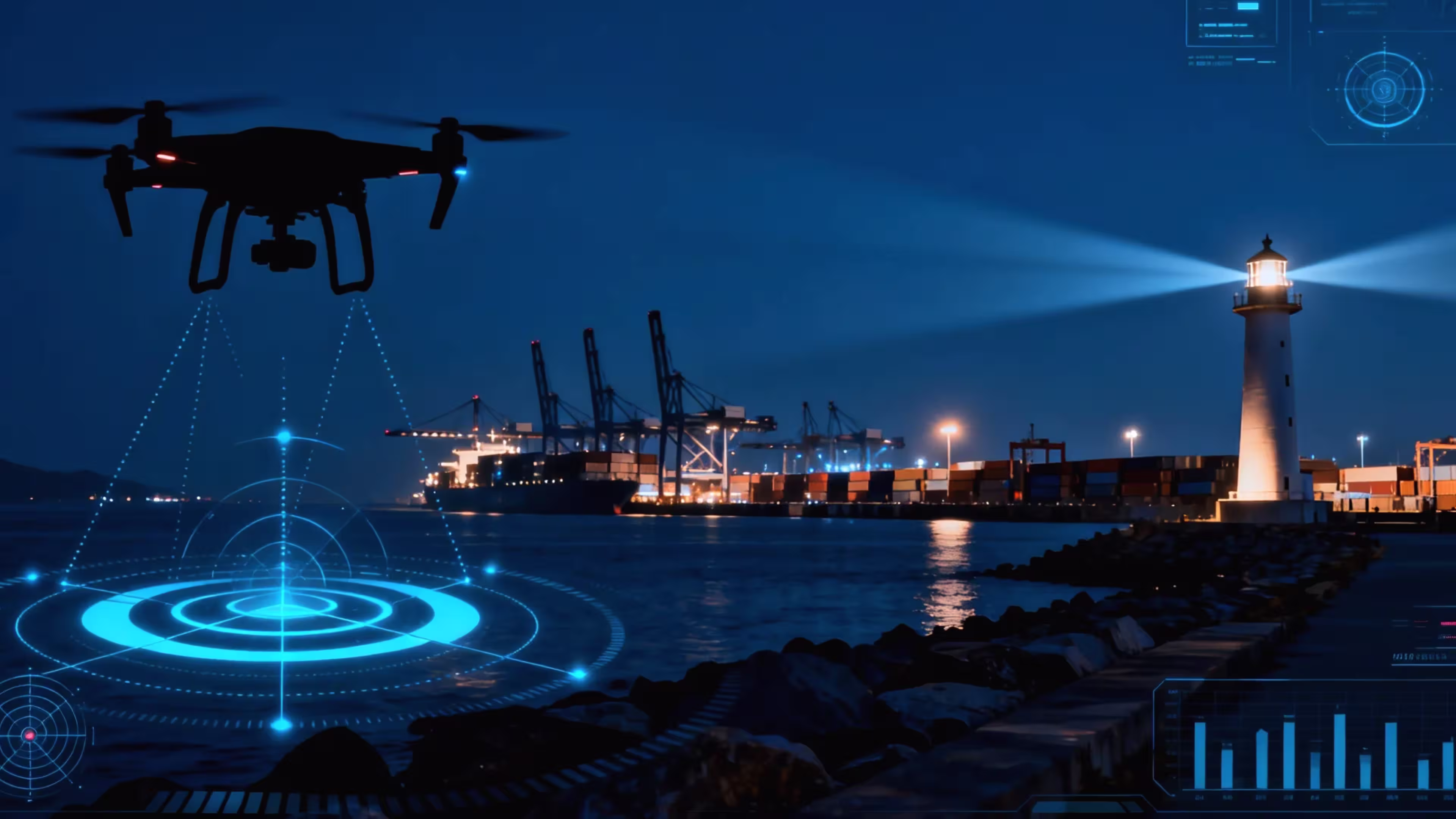
Drones are transforming the way we monitor coastlines and ports, offering a powerful alternative to traditional methods like patrol boats or manned aircraft. These unmanned aerial vehicles (UAVs) excel in tasks such as detecting illegal activities, ensuring port security, and supporting environmental protection. To perform effectively in the challenging maritime environment, drones must meet specific performance requirements. This article explores these essential capabilities, drawing from industry standards like those from the European Maritime Safety Agency (EMSA) and insights from maritime surveillance practices. Whether you’re curious about coastal security or port management, here’s a look at what makes drones effective for these critical tasks.
Why Drones for Coastal and Port Surveillance?
Maritime environments are vast and dynamic, with challenges like unpredictable weather, long distances, and the need for real-time data. Drones address these by providing:
- Wide Coverage: They can patrol large areas quickly, from coastlines to open waters.
- Real-Time Monitoring: Drones deliver instant visuals and data for rapid decision-making.
- Cost Efficiency: Compared to ships or planes, drones reduce operational costs.
- Versatility: Applications include border security, tracking illegal fishing, monitoring port traffic, and aiding search-and-rescue missions.
To succeed in these roles, drones must be equipped with specialized features tailored to the sea. Below are the key performance requirements.
1. Resilience in Harsh Maritime Conditions
The ocean is unforgiving, with salt spray, high winds, and extreme temperatures testing equipment durability. Drones need:
- Water and Corrosion Resistance: A minimum IP43-IP45 rating to withstand rain and seawater splashes. Airframes made of materials like aluminum alloy or composites resist corrosion from salty air, ensuring long-term reliability.
- Wind Resistance: Capability to operate in winds up to Level 5-6 (10-20 m/s or 22-45 mph) for stability during coastal storms.
- Temperature Range: Operation in -10°C to 50°C to handle seasonal variations, from freezing winters to hot summers.
For example, drones used in remote coastal regions often endure 8-hour missions in challenging weather, highlighting the need for rugged designs.
2. Long-Range and Endurance Flight
Coastal and port surveillance requires covering expansive areas, often far from base:
- Flight Endurance: 4-8 hours of continuous flight to monitor large regions, such as 100 km of coastline, without frequent recharging.
- Range and Altitude: A range of 50-150 km and altitudes up to 500 m (subject to aviation rules) for broad coverage. Vertical accuracy within ±6 cm ensures precise navigation.
- Speed: Maximum speeds of 16-30 m/s (36-67 mph) for quick response, with ascent/descent speeds around 10 m/s for efficient positioning.
- Autonomous Flight: Beyond Visual Line of Sight (BVLOS) capabilities with electronic boundaries to prevent drones from entering restricted zones.
These features allow drones to patrol remote waters efficiently, unlike slower traditional vessels.
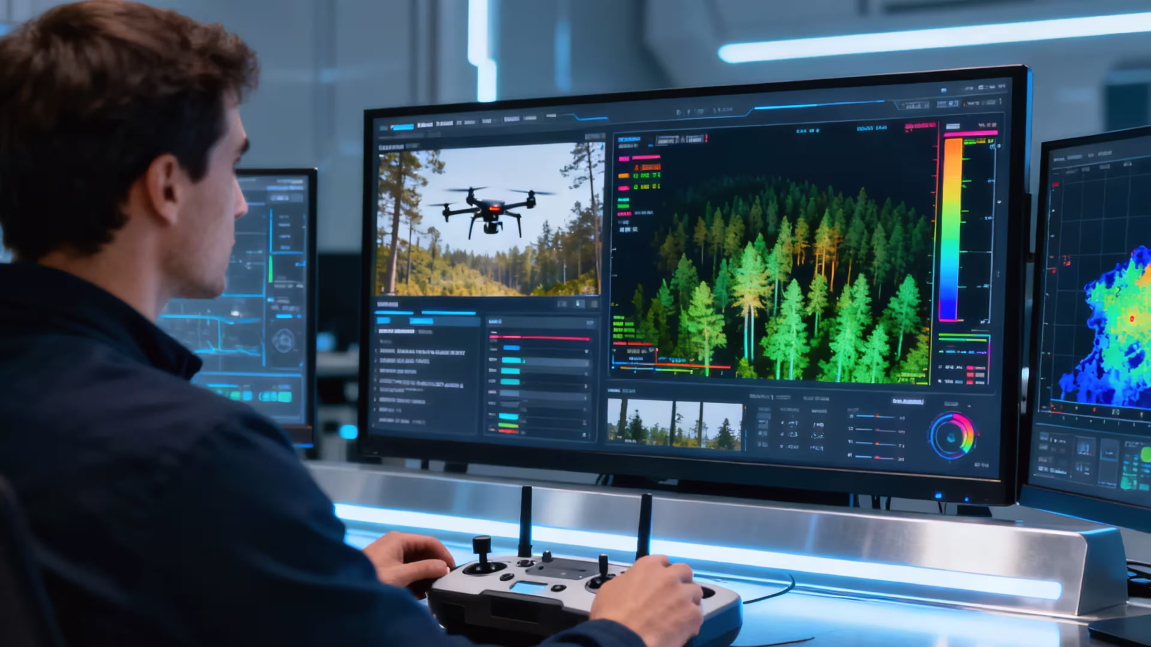
3. Advanced Sensors for Comprehensive Monitoring
Effective surveillance depends on high-quality sensors to detect and identify targets:
- Electro-Optical/Infrared (EO/IR) Cameras: High-resolution cameras (≥640×512 pixels) provide clear visuals day or night, with thermal imaging to detect heat signatures from ships or people.
- Radar and Acoustic Sensors: Synthetic Aperture Radar (SAR) or Side-Looking Radar (SLM) tracks surface vessels, while sonar options identify underwater threats like submarines.
- Automatic Identification System (AIS): Receivers identify ships by their transponder signals, aiding in tracking illegal or unregistered vessels.
- Multispectral Imaging: Detects environmental issues, such as oil spills or illegal dumping, enhancing coastal protection efforts.
AI-driven sensor analysis can automatically flag suspicious activities, improving response times for threats like smuggling or piracy.
4. Reliable Communication and Data Transmission
Maritime drones operate far from control centers, requiring robust communication systems:
- Long-Range Connectivity: WIFI or satellite links supporting 500 m to 150 km for real-time video and data streaming, often complemented by 4G/5G networks.
- Data Processing: Onboard AI and edge computing enable immediate analysis, such as identifying unauthorized vessels. Cloud integration centralizes data for broader monitoring.
- Secure Transmission: End-to-end encryption protects against interference or hacking, ensuring data integrity during sensitive missions.
Reliable communication is critical, as maritime environments often lack stable network coverage.
5. Autonomy and System Integration
To reduce operator workload and enhance efficiency, drones need high autonomy and compatibility with other systems:
- Full Autonomy: BVLOS flight with pre-programmed routes and automated responses to environmental changes, minimizing human intervention.
- Collaborative Systems: Integration with unmanned surface vehicles or ship-based platforms for coordinated missions, such as automated landings on patrol boats.
- Counter-Drone Measures: Built-in detection and jamming to counter hostile drones, protecting ports from unauthorized UAVs.
- Ground Station Software: Tools for route planning, real-time monitoring, and data fusion streamline mission management.
These capabilities enable 24/7 surveillance with minimal staffing, ideal for busy ports.
6. Compliance with Maritime Regulations
Operating drones in maritime environments requires strict adherence to regulations:
- Certifications: Compliance with aviation standards (e.g., FAA, EASA) and BVLOS permits tailored for maritime operations.
- Data Privacy: Adherence to regulations like GDPR to ensure ethical handling of surveillance data, especially for counter-terrorism or environmental monitoring.
- Airspace Coordination: Pre-approved flight plans and coordination with authorities to avoid conflicts in busy port or coastal airspace.
Regulatory compliance ensures drones operate legally and ethically, maintaining trust in maritime operations.
Real-World Applications
These requirements enable drones to excel in diverse scenarios:
- Port Security: A drone with EO/IR cameras and AIS can monitor vessel traffic, detecting unauthorized entries in real time.
- Coastal Patrol: A drone with 8-hour endurance and radar can patrol 100 km of coastline, identifying illegal fishing or smuggling.
- Environmental Monitoring: Multispectral sensors track oil spills or marine debris, supporting conservation efforts.
- Search and Rescue: Thermal imaging locates distressed vessels or individuals at night or in fog.
Why These Capabilities Matter
The right drone ensures:
- Efficiency: Covers vast areas faster and cheaper than traditional methods.
- Accuracy: Delivers precise, actionable data for rapid response.
- Reliability: Operates in tough conditions without compromising performance.
- Safety: Reduces risks to personnel and assets through autonomy and robust design.
Drones meeting these standards are transforming coastal and port surveillance, making our seas safer and more secure. As technology advances, expect even greater integration of AI, longer flight times, and enhanced sensors to push the boundaries of maritime monitoring.