Introduction to Thermal Camera Drones
A thermal camera drone is an unmanned aerial vehicle (UAV) equipped with an infrared imaging system that allows it to detect heat signatures from people, animals, buildings, equipment, or landscapes. Unlike standard visual cameras, thermal sensors see in the infrared spectrum, enabling flight operations in darkness, fog, or smoke.
This powerful combination of aerial mobility and thermal vision makes thermal camera drones valuable tools across industries such as public safety, energy, agriculture, and industrial inspection.
How Do Thermal Camera Drones Work?
Thermal cameras detect radiation in the long-wave infrared range (typically 8–14 µm) and convert it into a visual image called a thermogram. Warmer objects emit more infrared energy, allowing the camera to highlight heat differences in a color palette (e.g., white-hot, black-hot, rainbow).
When mounted on a drone, these sensors provide a bird’s-eye view of temperature variations, enabling non-contact and large-area heat monitoring that would be impossible or inefficient from the ground.
Applications of Thermal Camera Drones
1. Firefighting and Emergency Response
Thermal drones help firefighters detect hotspots in wildfires, track the spread of flames, locate trapped victims in burning buildings, or scan collapsed structures after disasters.
2. Search and Rescue
In low-visibility conditions such as night or dense forest, thermal drones can find lost hikers, injured personnel, or stranded vehicles by spotting their body heat.
3. Building and Roof Inspections
Thermal imaging can reveal insulation leaks, moisture intrusion, electrical overheating, and other anomalies without requiring physical access to rooftops or facades.
4. Solar Panel Monitoring
Defective or underperforming photovoltaic cells exhibit distinct heat patterns. Thermal drones can scan entire solar farms quickly and report faulty panels.
5. Livestock & Crop Monitoring
In agriculture, drones with thermal cameras are used to detect irrigation issues, pest outbreaks, or animal heat signatures in large fields or rugged terrain.
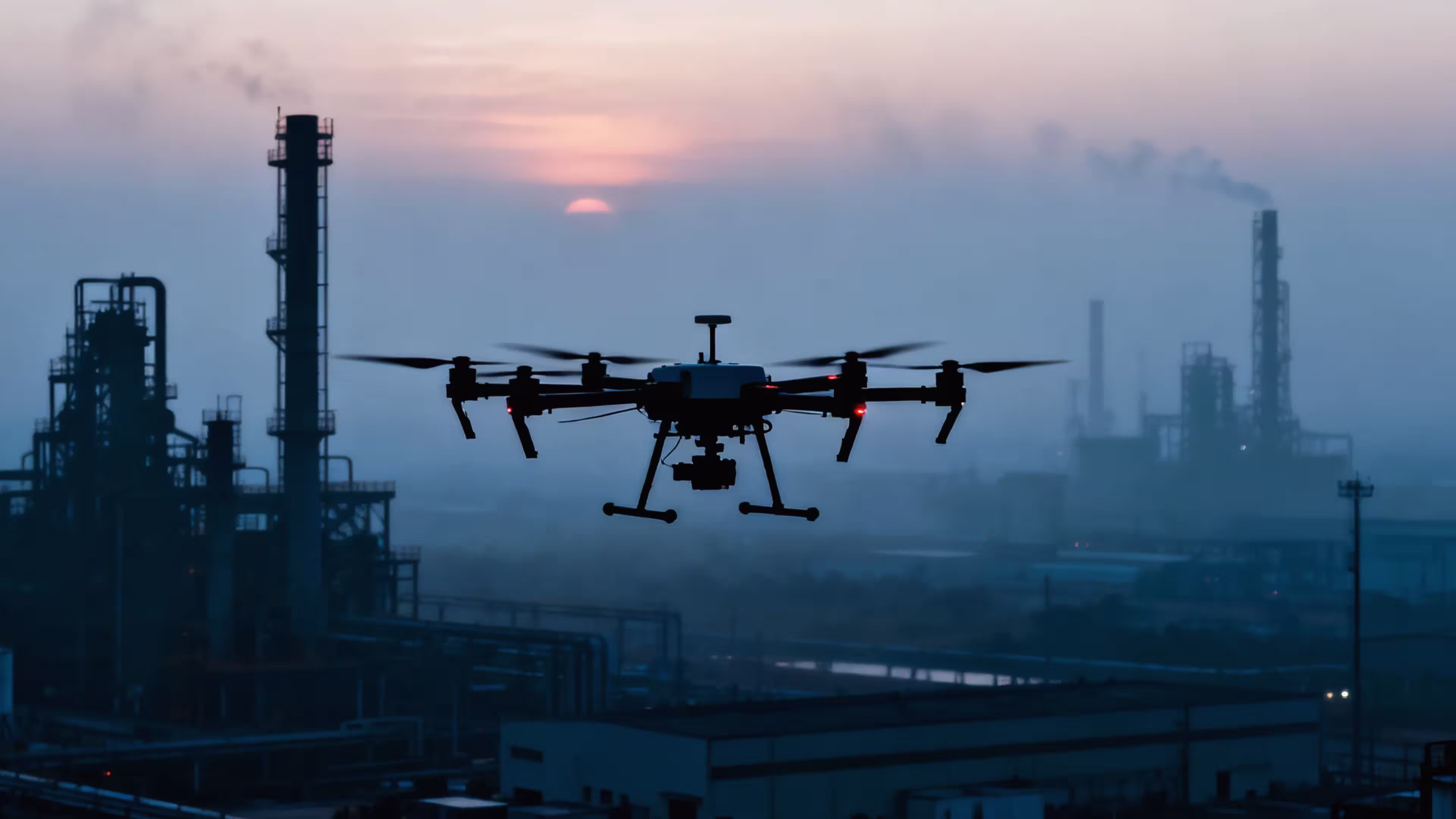
6. Industrial Equipment Inspection
Power lines, substations, pipelines, and refineries can all be monitored for overheating, leaks, or structural anomalies using thermal UAVs—without interrupting operation.
Top Features to Look For in a Thermal Camera Drone
- Sensor Resolution: 640×512 is ideal for detailed thermal imaging; lower resolutions like 160×120 may suffice for basic spotting.
- Radiometric Capability: Captures temperature data per pixel, enabling accurate analysis and reporting.
- Dual Camera Payloads: Combine visible and thermal imaging in one gimbal for contextual awareness.
- Flight Time: Minimum of 25–30 minutes per charge is recommended for field operations.
- Autonomous Flight Modes: Enable repeatable missions, grid scanning, and 3D thermal mapping.
MMC X8T: A Professional Thermal Camera Drone
One of the leading thermal camera drones on the market is the MMC X8T, engineered for mission-critical operations in public safety, utilities, and heavy industry. Its standout features include:
- High-Resolution Thermal Sensor: 640×480 with radiometric output
- Integrated 4K RGB Camera: Dual gimbal support for side-by-side comparison
- Weatherproof Industrial Frame: Durable for harsh field conditions
- Heavy Payload Capacity: Supports various modules, sensors, and accessories
- Autonomous Mission Planning: Easily execute and repeat complex inspection routes
Explore the MMC X8T in detail →
Thermal Drone vs. Thermal Camera Drone
These terms are often used interchangeably, but here’s a subtle distinction:
- Thermal Drone: Emphasizes the drone platform itself, equipped with thermal capability
- Thermal Camera Drone: Highlights the importance of the thermal imaging sensor as the core feature
In practice, both refer to the same type of equipment, and users may use either based on context or search intent.
FAQs
Q: How much does a thermal camera drone cost?
A: Entry-level models start around $2,000–$3,000. Professional units like the MMC X8T range from $2,000 and up depending on payload and configuration.
Q: Can I attach a thermal camera to any drone?
A: Not all drones support third-party payloads. You’ll need a platform with sufficient payload capacity, power supply, and integration capability.
Q: Are thermal camera drones legal to fly?
A: Yes, but be sure to follow local UAV regulations and privacy laws, especially when collecting thermal data in residential or sensitive areas.
Best Practices for Thermal Camera Drone Use
- Fly early morning or evening for better thermal contrast
- Use radiometric thermal capture for scientific or industrial analysis
- Avoid reflective surfaces like water or glass, which may distort heat readings
- Post-process images using thermal analysis software
Related Resources
- What is a Thermal Drone?
- Choosing a Drone with Thermal Camera
- Drone Thermal Imaging Applications
- Drones with Thermal Capabilities
Conclusion
Whether you’re inspecting infrastructure, locating fire hotspots, or optimizing crop irrigation, a thermal camera drone offers unmatched insight from the air. As this technology becomes more accessible, businesses and governments are integrating thermal UAVs into their workflows for faster, safer, and more informed decision-making.
Looking for a reliable and scalable thermal drone solution? Explore the MMC X8T—a field-proven thermal camera drone trusted by professionals around the world.
Comments